15.8
PDI
13.1 mi
DISTANCE
3,371 ft
GAINED
4.4 %
AVG. GRADE
FULL CLIMB STATS
INTRO
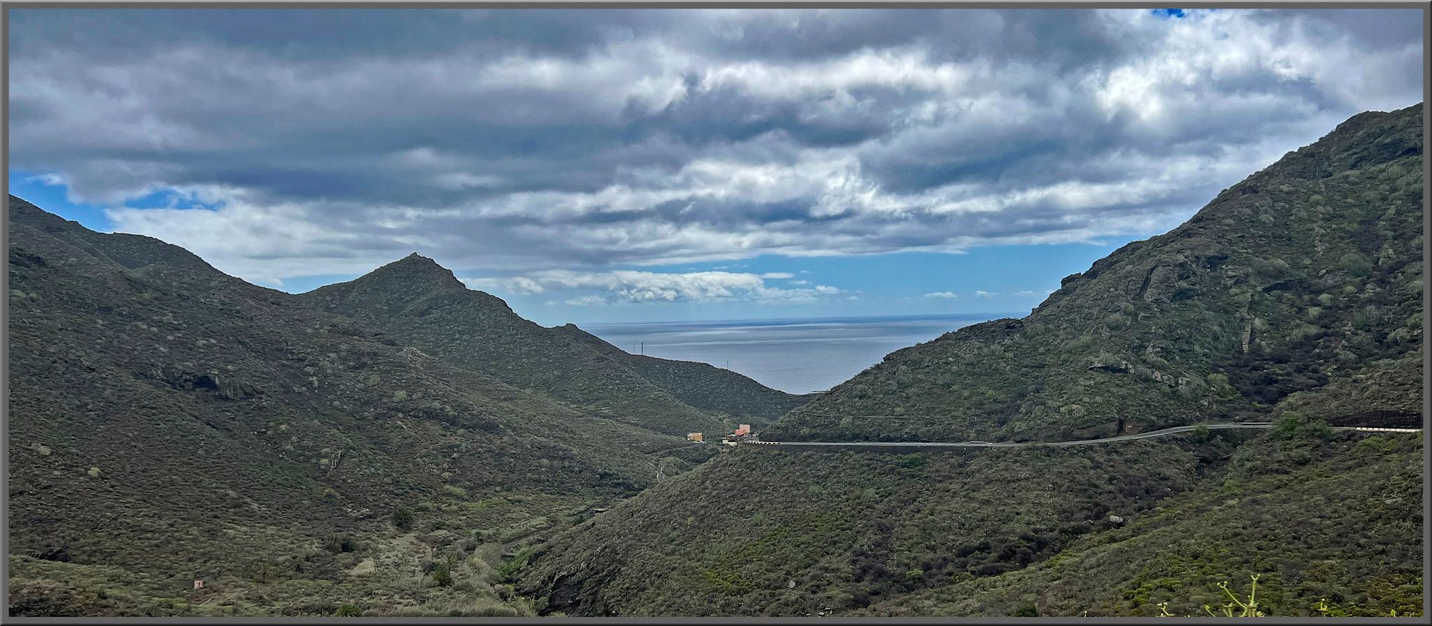
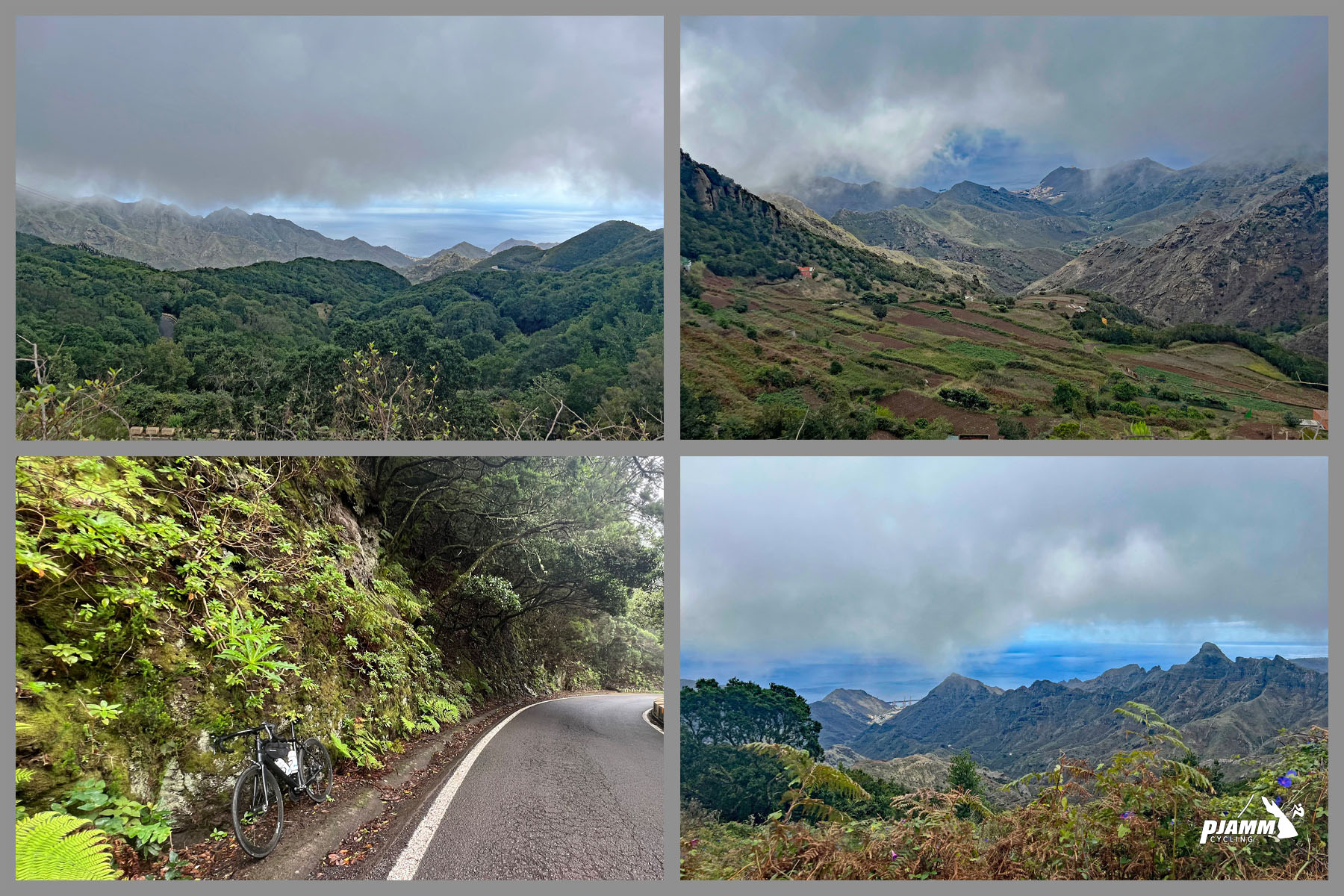
A fun and scenic climb at the northern tip of Tenerife - and a strange one, in a good way. You leave San Andrés with the palms and golden sand of Las Teresitas at your back, and about an hour later you're riding through laurel forest with the cloud sitting in the trees, water dripping off the branches, and the coast nowhere to be seen.
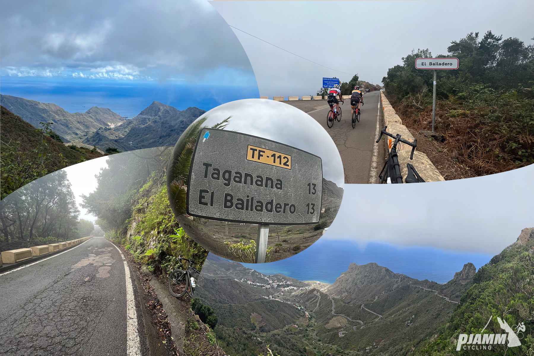
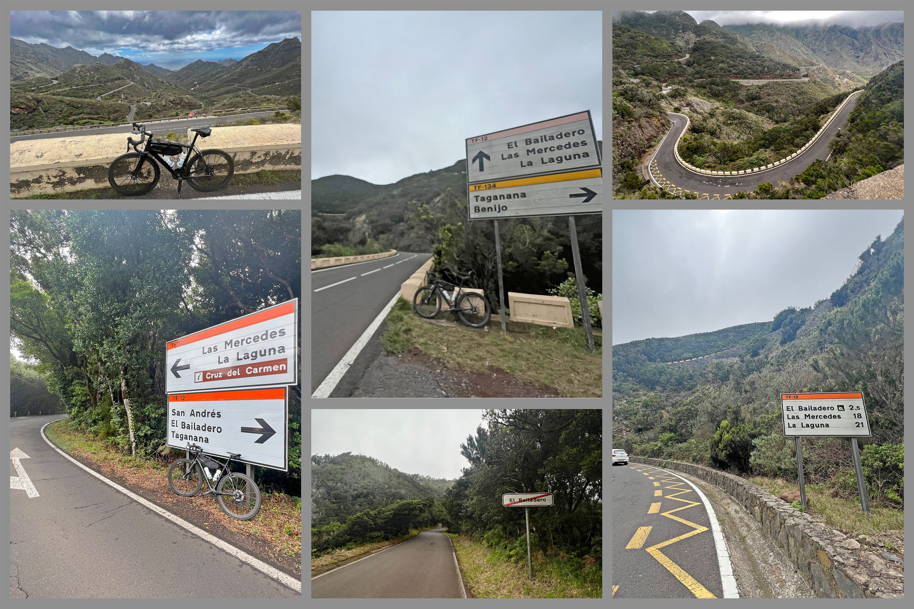
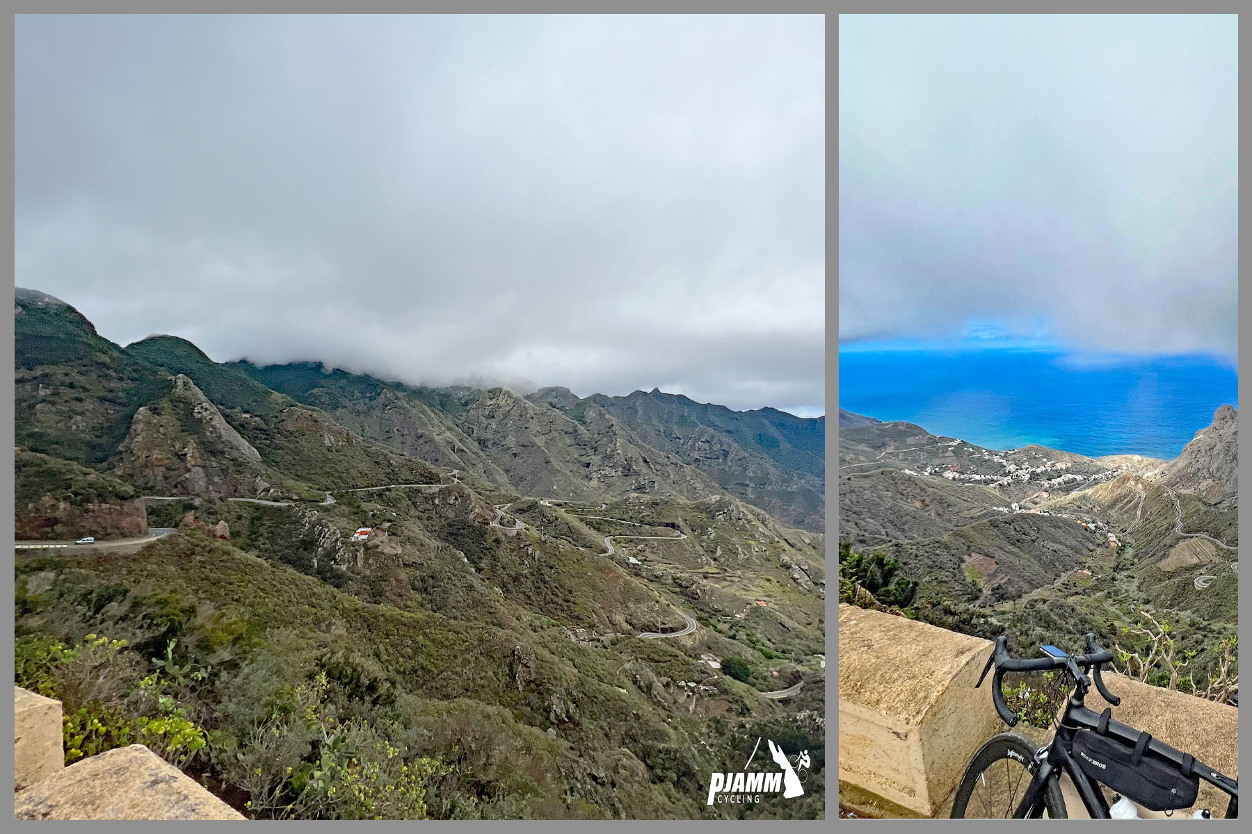
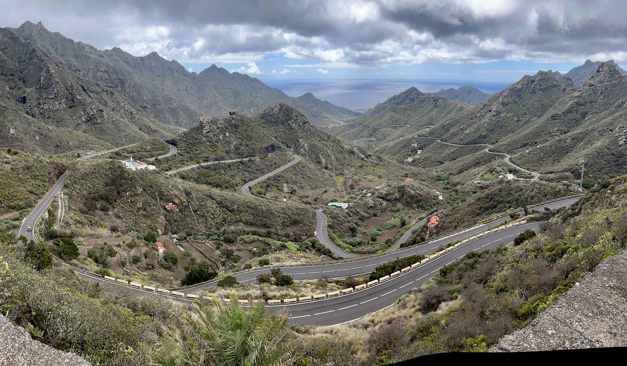
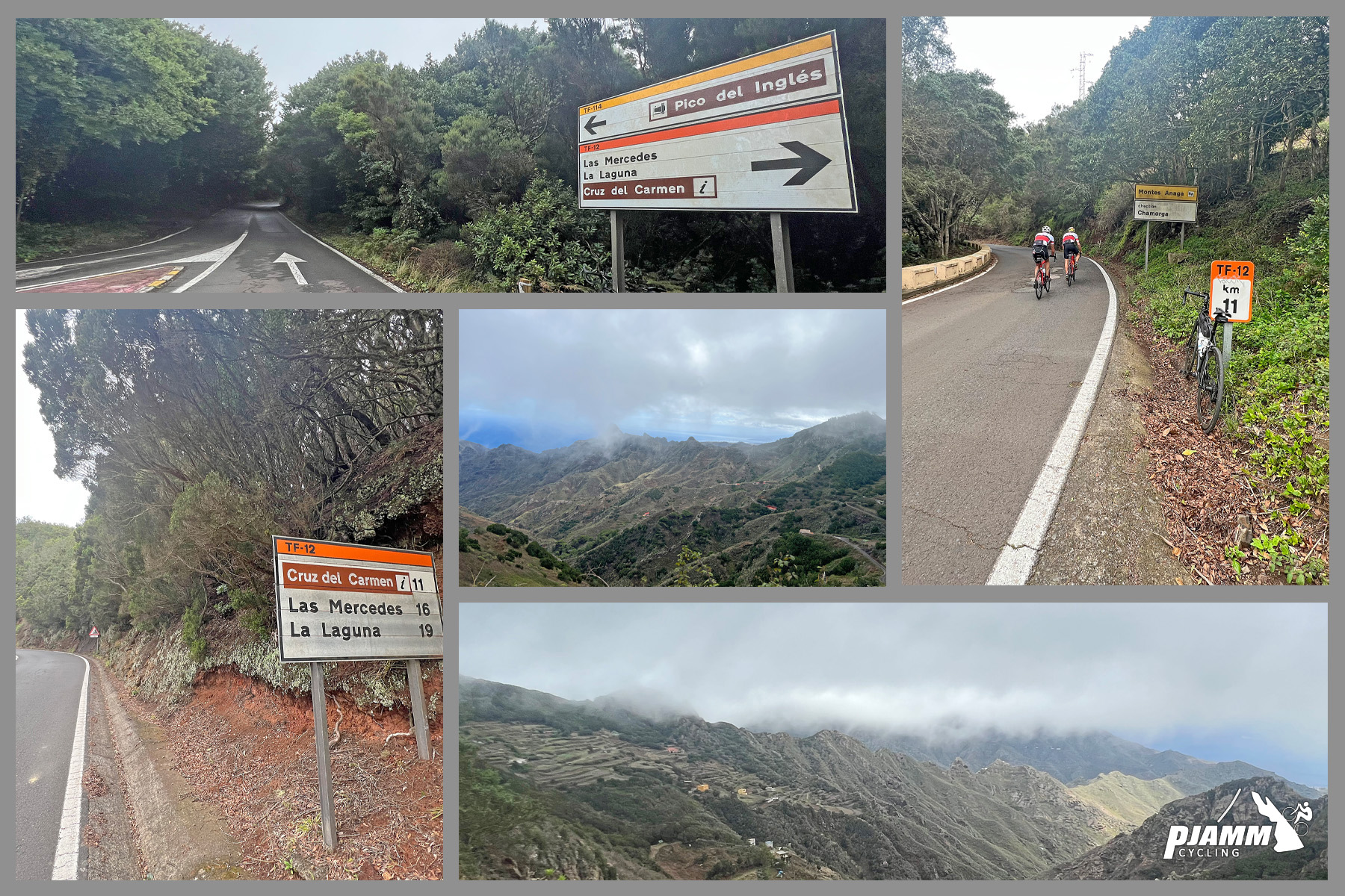
It's 21 km (13.1 mi) with 1027 m (3371 ft) of climbing at 4.4%, an average pulled down by some downhill along the ridge. The first 11 km to El Bailadero are the heart of it: a steady 5-7% up the valley, with a long ladder of hairpins from about km 5 that you can look straight back down on. At the Bailadero junction - where, the story goes, the witches of Anaga used to dance - the road to Taganana drops away to the north and ours swings west along the spine of the Anaga mountains. It climbs to 827 m by km 14, with the steepest kilometer of the day (8%) just before, then rolls and dips to about 780 m before a final 3 km up to 956 m.
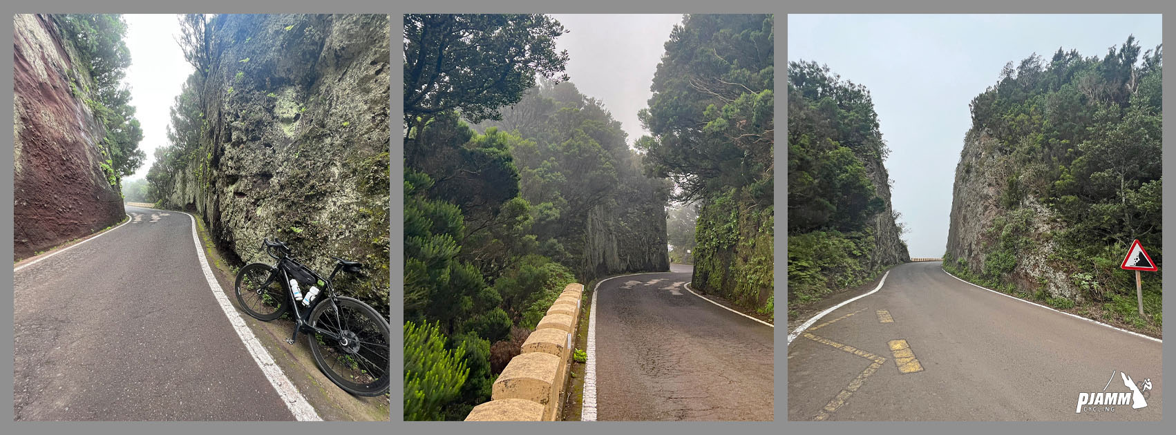
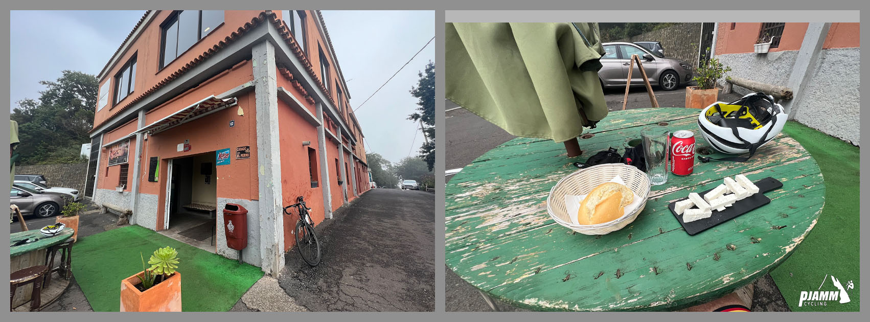
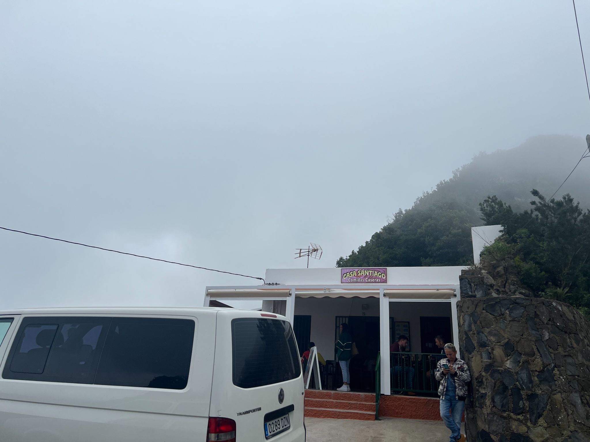
All of it is inside Anaga Rural Park. Up on the ridge the road is lined with old stone parapets, there are a couple of narrow spots where cars have to wait for each other, and the trade-wind clouds often hang in the forest when the coast is in full sun. Near the end, two roadside restaurants, Casa Santiago and Casa Carlos, do Canarian food, and the Mirador Pico del Inglés is under 2 km past the finish if you want the view.
PLAN YOUR ROUTE
 We've partnered with Sherpa-Map.com to bring you the best route planning tool. With a PRO Membership you can use this climb as a reference when creating your route.
Overall: 21 km (13.1 mi) with 1027 m (3371 ft) of climbing and 111 m (365 ft) of descending, a 4.4% average, from 41 m (133 ft) in San Andrés to 956 m (3138 ft).
Km 0-11, San Andrés to El Bailadero: 636 m of climbing at a steady 5-6%, never above about 7% for a full kilometer. The hairpins start around km 5 and run for roughly 6 km.
Km 11-14: 5% up the ridge to 827 m, including the steepest kilometer (8%).
Km 14-18: rolling and mostly downhill to about 780 m.
Km 18-21: about 5.8% up to the finish.
Steepest sections: 500 m at 8.2%, 1 km at 8%, 2 km at 6.7%, 5 km at 5.9%, 10 km at 5.9%.
Roadway: Smooth tarmac throughout - riders rate the surface very highly. From San Andrés to El Bailadero the TF-12 is a two-lane road with wide, sweeping hairpins. Past the junction it narrows to about a lane and a half along the ridge, with stone parapets, blind bends through the forest and a couple of pinch points. The ridge is often wet from cloud even when the coast is dry, and after heavy rain small rockfalls and fallen branches land on the road, so take the descent steadily.
Traffic: Light to moderate. Weekends and the middle of the day bring visitors heading for Taganana's beaches and the Anaga viewpoints, and the bus to Taganana uses the lower road as far as El Bailadero. Beyond the junction it's quieter. Early mornings are best.
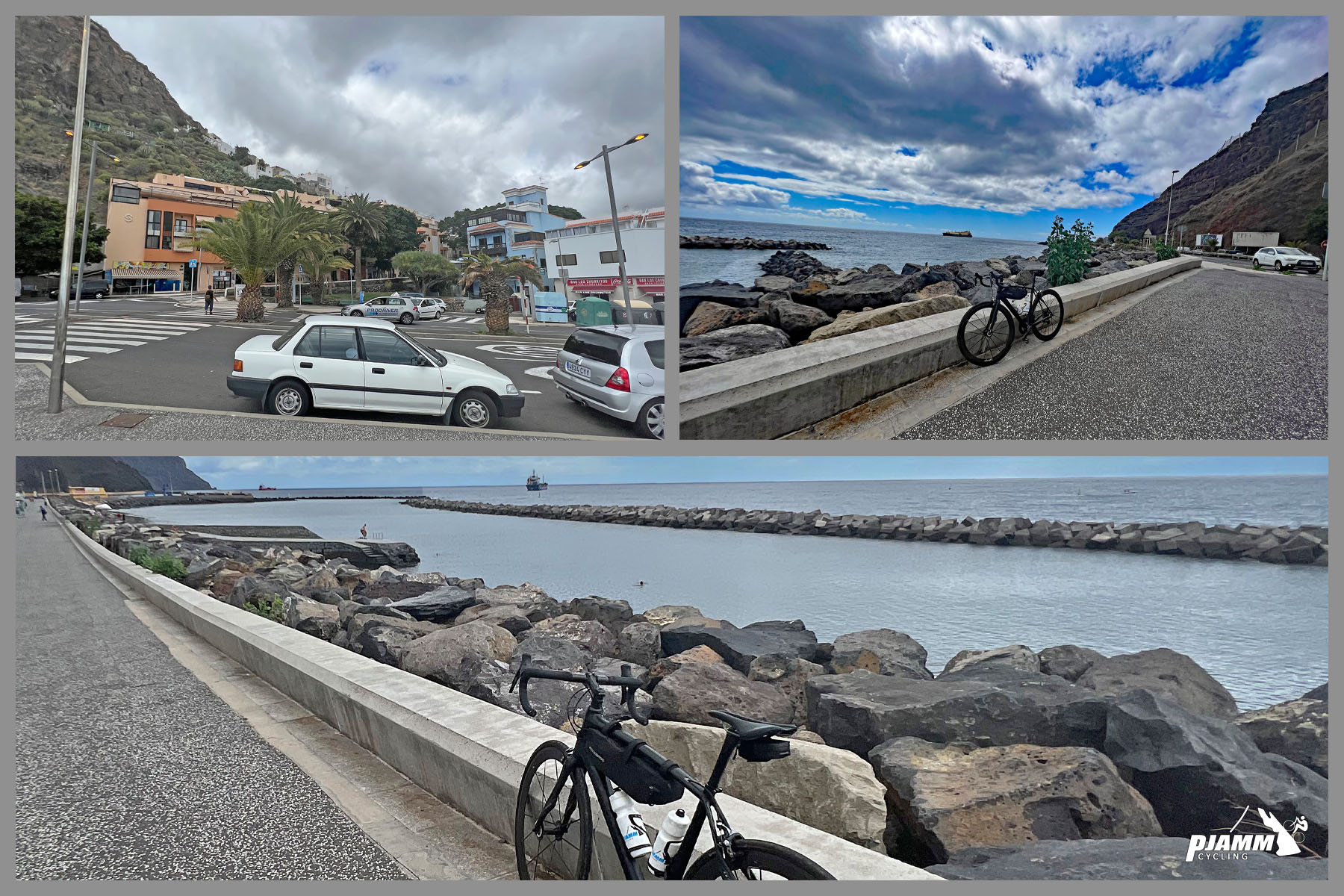
Parking: Use the large free car park along Las Teresitas beach (Las Teresitas on Google Maps), which has more than 1000 spaces but still fills on weekends, holidays and hot days - arrive before 10 am. If someone is driving support, the restaurants near the finish have small car parks, and the big car park at Cruz del Carmen is a short ride further west along the TF-12.
Gear: Nothing here is steep, so a standard compact with a 28 or 30 is plenty. Bring lights - it can be gloomy under the laurels and in the cloud - and a jacket or vest, because the ridge is far cooler and damper than the beach.
Provisions: Fill up in San Andrés; there's no water on the way up until the restaurants near the top. Casa Santiago is about 3 km from the finish and Merendero Casa Carlos about 1.2 km out.
Before heading out on any cycling adventure check out our Things to Bring on a Cycling Trip and use our interactive check list to ensure you don't forget anything.
San Andrés is a good place to start and finish: fresh fish in the village restaurants, and Las Teresitas next door, a 1.3 km beach of golden sand brought over from the Sahara in the 1970s, with a breakwater that keeps the water calm for a post-ride swim. Santa Cruz is about 7 km away, so you can ride out from the city.
From the finish you can carry on west along the TF-12 past Cruz del Carmen and drop down to La Laguna, then back to Santa Cruz for a loop; our Pico del Inglés page covers the mirador, the Cruz del Carmen visitor center and La Laguna. This climb is also the first leg of our 5 Sisters of Northern Tenerife, which links it with Las Carboneras, Afur, Taganana and Chamorga for about 110 km and 4216 m of climbing - a proper day out in Anaga.
ROUTE MAP

MEMBER RATING
CURRENT WEATHER
PJAMM TRIPS ADVENTURE STARTER BUNDLES
Check out PJAMM Adventure's prepackaged (self-guided) cycling trips. They will help you plan, document and conquer your next adventure.
NEARBY CLIMBS (0) RADIAL PROXIMITY
FROM No Climbs Found
MEMBER REVIEWS & COMMENTS
Let us know what you thought of this climb. Signup for our FREE membership to write a review or post a comment.
Already have an account?
LOG IN HERE