24.1
PDI
10.5 mi
DISTANCE
3,800 ft
GAINED
6.8 %
AVG. GRADE
FULL CLIMB STATS
Page Contributor(s): Lisa Irizarry and Matt Jiang, NY, NY
INTRO
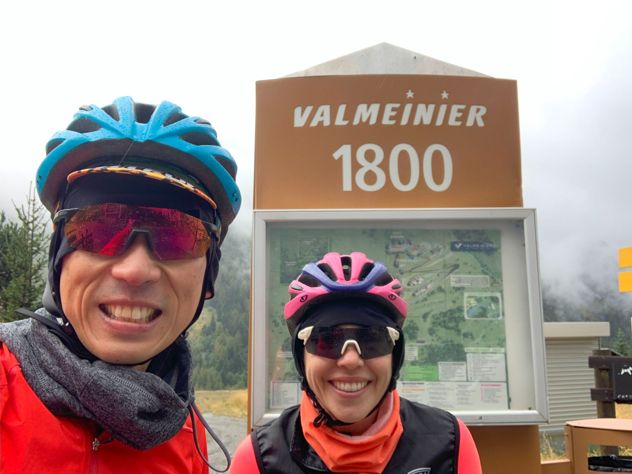
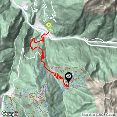
Valmeinier climbs 16.9 km (10.5 mi) from Saint-Michel-de-Maurienne and gains 1,158 m (3,800 ft) at a 6.8% average grade, finishing at 1,871 m (6,139 ft) at the top of the Valmeinier 1800 ski station. It's the lesser-known neighbor of the Télégraphe and Galibier: the first 9.5 km (5.9 mi) follow the famous Télégraphe road, then the route peels off onto a much quieter side road into the Valmeinier valley. It ranks #85 in France by our rankings.
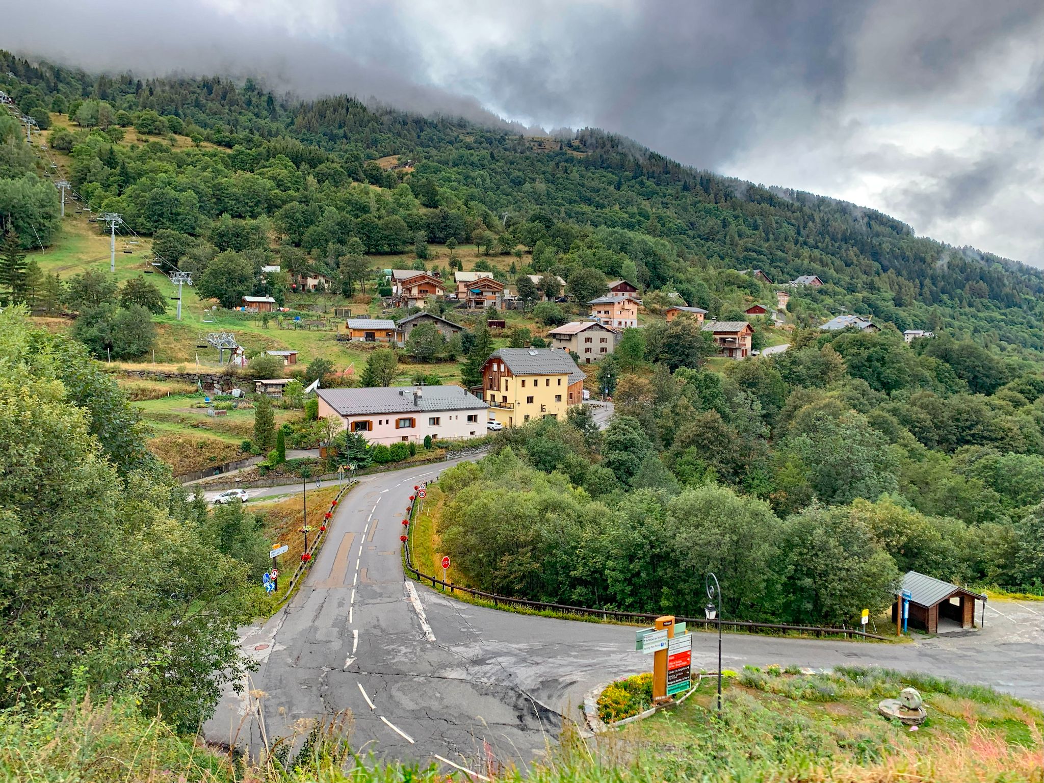
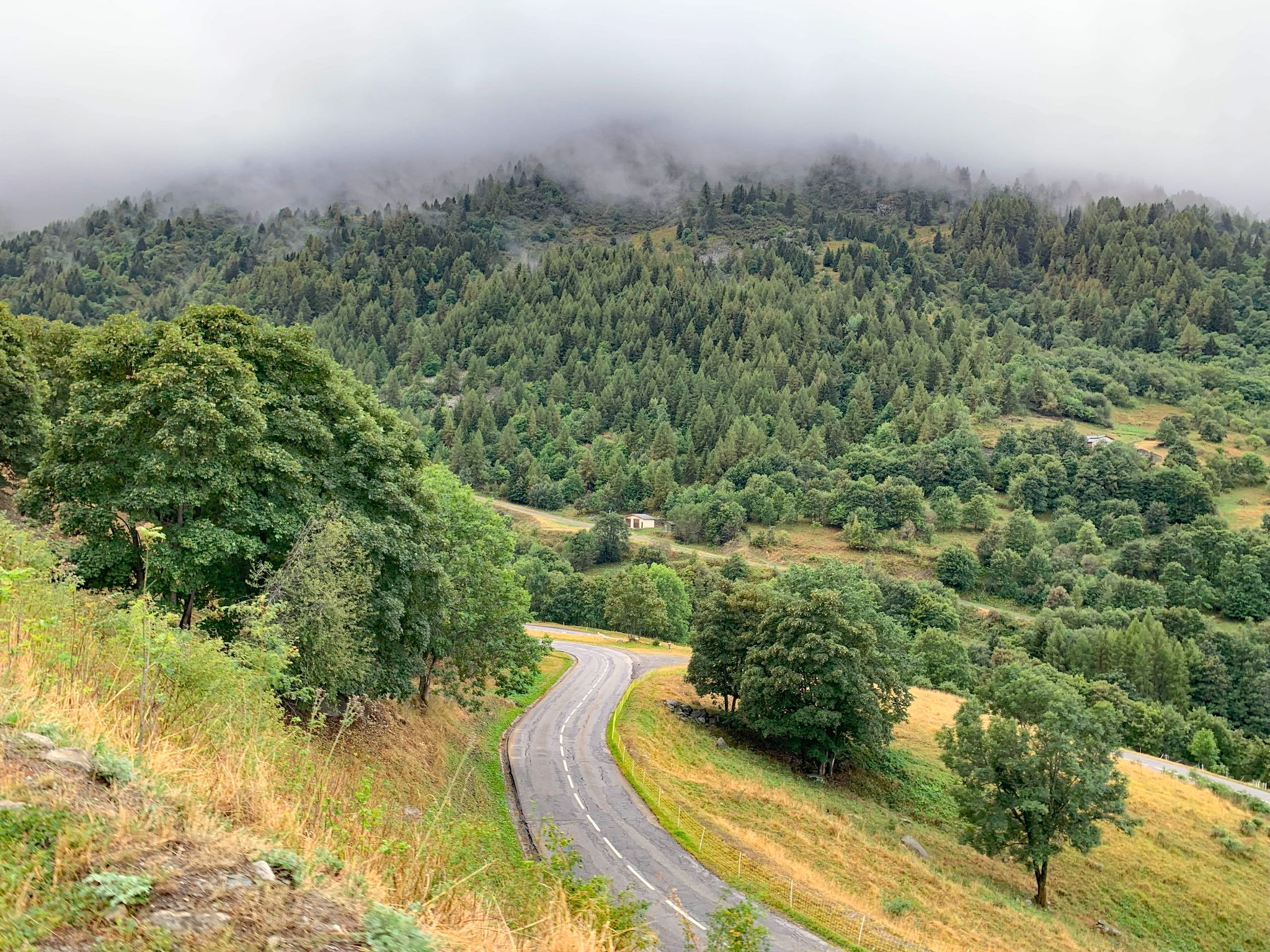
The two halves feel very different. The Télégraphe section is forested, busy and steady at 7-8%. Once you turn onto the D215A the traffic drops away almost completely and the climb becomes a calm, regular grind to the old village of Valmeinier, where a short dip past the church offers the only real break, before long hairpins lift you into the resort with views opening up the Mont Thabor valley and the peaks around it.
Valmeinier has quietly built a racing résumé: Tour des Pays de Savoie stage finishes in 2013, 2014, 2015, 2017 and 2019, the Tour de l'Avenir in 2018, the Tour Savoie Mont Blanc in 2020, and most notably Stage 7 of the 2025 Critérium du Dauphiné, which Tadej Pogačar won ahead of Jonas Vingegaard at the top of this climb.
PLAN YOUR ROUTE
 We've partnered with Sherpa-Map.com to bring you the best route planning tool. With a PRO Membership you can use this climb as a reference when creating your route.
 Valmeinier covers 16.9 km (10.5 mi) and gains 1,158 m (3,800 ft) at 6.8%, from 726 m (2,381 ft) to 1,871 m (6,139 ft), with about 12.5 m (41 ft) of descending - almost all of it in one brief 300 m dip starting around km 11.3.
After a gentler first kilometer out of Saint-Michel at 5.6%, the Télégraphe section holds the steepest sustained climbing: km 2 through 4 each average 8.2-8.3%. The grade then settles to a steady 6-7.5% on the D215A, eases to a near-flat kilometer through the village, and finishes with a consistent 6.9-7.4% through the resort hairpins.
The steepest kilometer averages 8.5%, the steepest 0.5 km 8.7%, and the steepest 100 m (0.1 mi) pitch 9.8%. The steepest 5 km average 7.9%. There are no walls here - it rewards steady pacing from bottom to top.
Roadway: Both roads are paved. The D902 up the Télégraphe is a smooth two-lane road, and part of the stretch below the col was redesigned in 2026 with a marked central lane and bike pictograms (see our Cols du Télégraphe & Galibier page for details). The D215A to Valmeinier is narrower and generally in good condition, though riders have described some rougher patches higher up in recent years. The road is open year-round, subject to snow.
Traffic: Busy on the Télégraphe section, especially on summer weekends, since it's Valloire's only road access and part of the Route des Grandes Alpes. After the Valmeinier turnoff it's quiet, carrying mostly resort traffic. The Valmeinier road has also been part of the Maurienne's Mountain Collection program of cyclists-only mornings, when it's closed to cars.
Parking: This climb shares its start with the Télégraphe - our Cols du Télégraphe & Galibier page has the street-parking details for the start in Saint-Michel. If you'd rather leave the car at home, Saint-Michel-Valloire station on the Maurienne rail line is a short ride from the start.
Provisions: Saint-Michel-de-Maurienne has water, restaurants and the nearest bike repair, and there's nothing on the Télégraphe section before the Valmeinier turn. Valmeinier has restaurants and shops, but it's a ski resort and can be very quiet outside the peak summer weeks, so don't count on everything being open.
Gear: Standard compact gearing is plenty - the grade never tops 9% for long. The finish sits at nearly 1,900 m, so bring a layer for the descent, which also takes you back down the busy Télégraphe road.
Before heading out on any cycling adventure check out our Things to Bring on a Cycling Trip and use our interactive check list to ensure you don't forget anything.
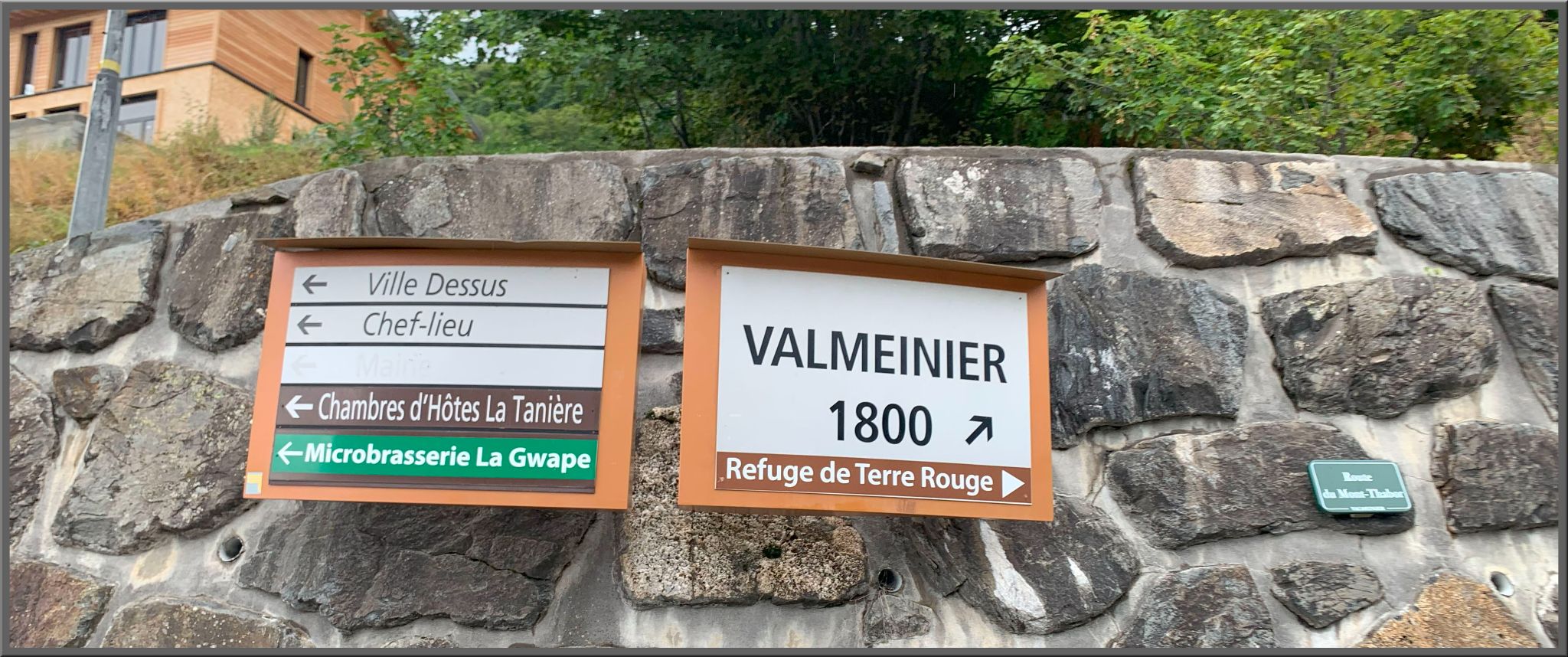
Valmeinier is really two places: the old village around its church and town hall, which you pass through around km 12, and the purpose-built Valmeinier 1800 resort at the top of the climb. In summer the resort runs lifts for mountain bikers, and the shops at the Front de Neige rent road, mountain and e-bikes if you're traveling light.
The Maurienne is one of the densest clusters of big climbs anywhere. From the same start you can continue over the Télégraphe to Valloire and the Galibier (see our Cols du Télégraphe & Galibier and Col du Galibier (Valloire) pages), and the famous Lacets de Montvernier are about a half-hour drive down the valley near Saint-Jean-de-Maurienne, the valley's bigger hub for lodging and shops.
If you're building a multi-day Maurienne trip, see other climbs nearby or build a custom route from here with our Routes in the Area tool.
ROUTE MAP
MEMBER RATING
CURRENT WEATHER
PJAMM TRIPS ADVENTURE STARTER BUNDLES
Check out PJAMM Adventure's prepackaged (self-guided) cycling trips. They will help you plan, document and conquer your next adventure.
NEARBY CLIMBS (0) RADIAL PROXIMITY
FROM No Climbs Found
MEMBER REVIEWS & COMMENTS
Let us know what you thought of this climb. Signup for our FREE membership to write a review or post a comment.
Already have an account?
LOG IN HERE