36.9
PDI
16.3 mi
DISTANCE
5,867 ft
GAINED
6.7 %
AVG. GRADE
FULL CLIMB STATS
Page Contributor(s): Ard Oostra, Switzerland; Erich Pawelka, Austria, Ron Hawks, USA
INTRO
We climbed Pico de las Nieves from Telde as part of our tour of Gran Canaria's toughest ascents - a Top 150 world climb that finishes at the highest paved point on the island, 1,935 meters, and the third-highest point you can ride a bike to anywhere in the Canary Islands, behind only Roque de los Muchachos on La Palma and the high point on Mount Teide, Tenerife.
Starting on GC-131 in Telde, the road climbs 16.3 miles and gains 5,867 feet at a 6.7% average grade.
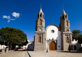
Telde, founded in 1351 and home to the 1483 Church of San Juan Bautista, is the oldest and second-largest city on Gran Canaria, and a good base with real services at the foot of the climb.
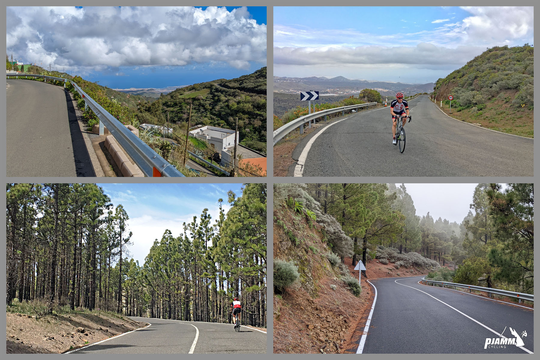
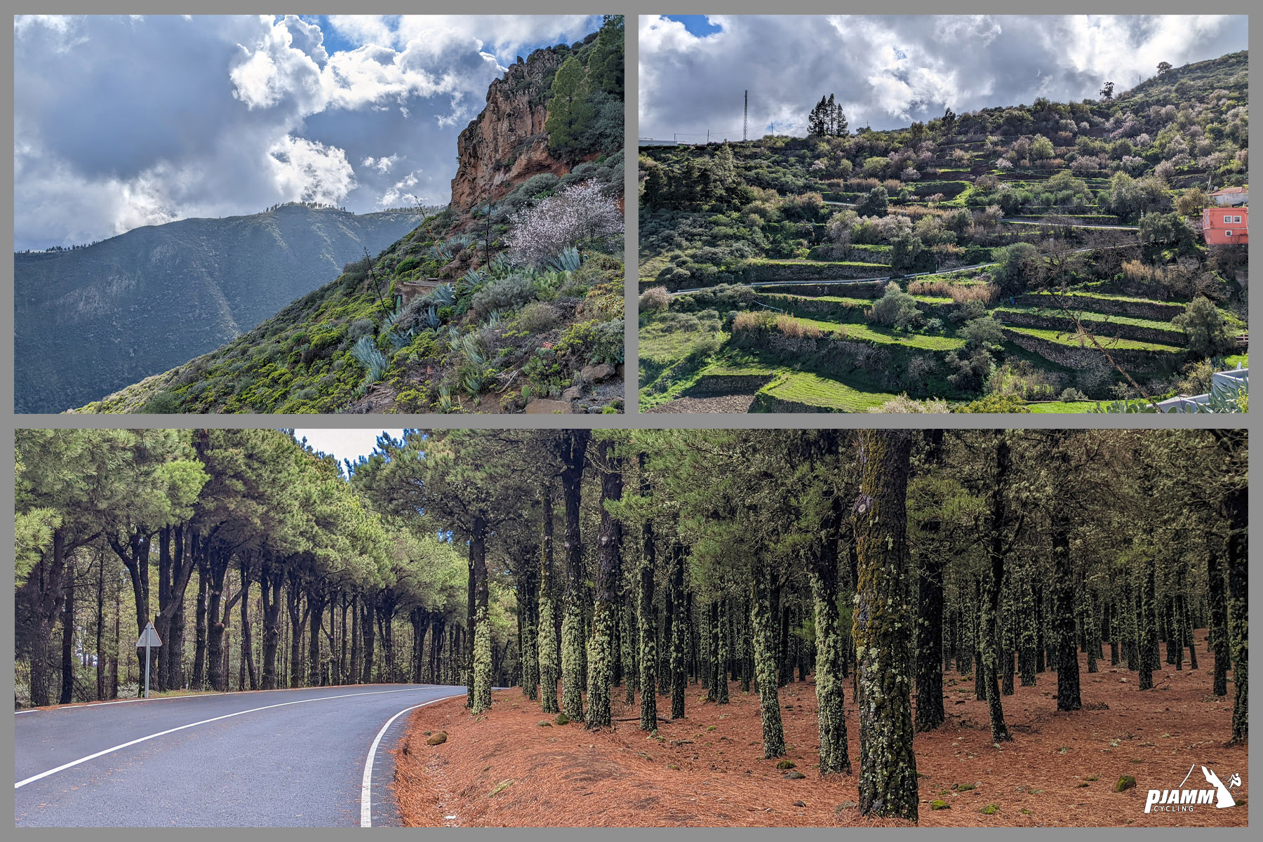
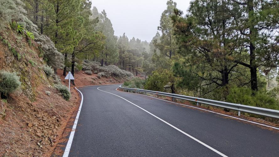
Traffic near the bottom was steady but manageable on good tarmac; once we merged onto GC-130 at kilometer 6.5, near a pair of hairpins, the road quality dropped noticeably for a stretch through Canary Island pine forest, with plenty of double-digit pitches (steepest kilometer around 12%).
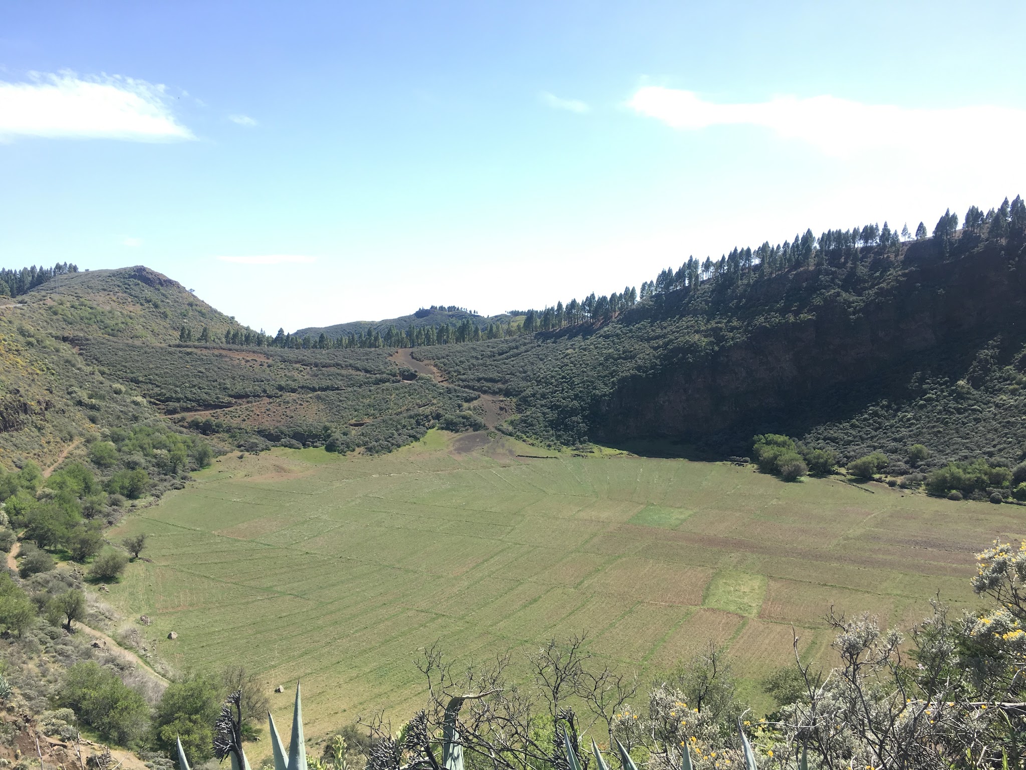
Around kilometer 18 we got our only real break - about 2 kilometers of nearly flat road - followed by a short descent past the Caldera de Los Marteles, a volcanic crater viewpoint worth a look before the final push.
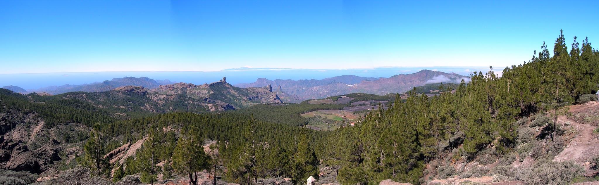
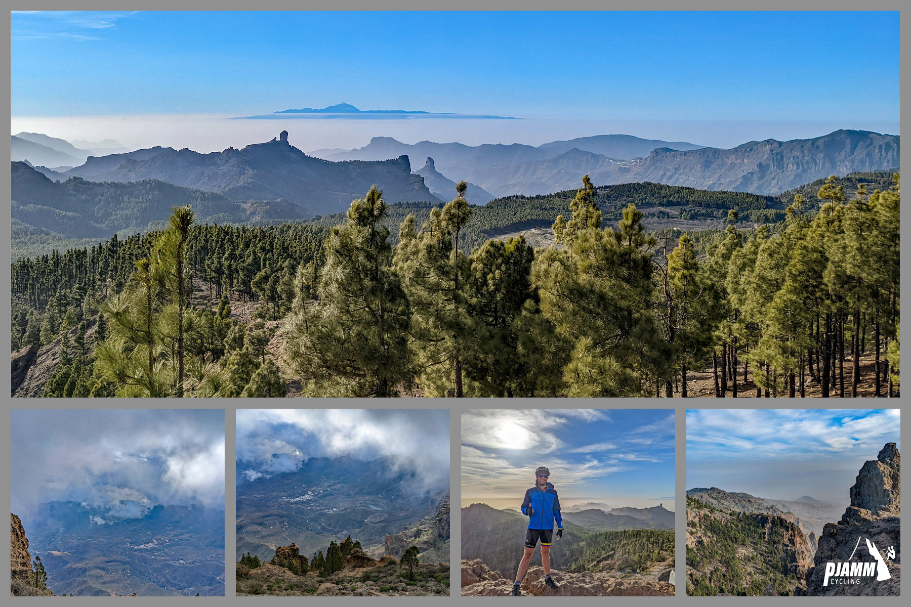
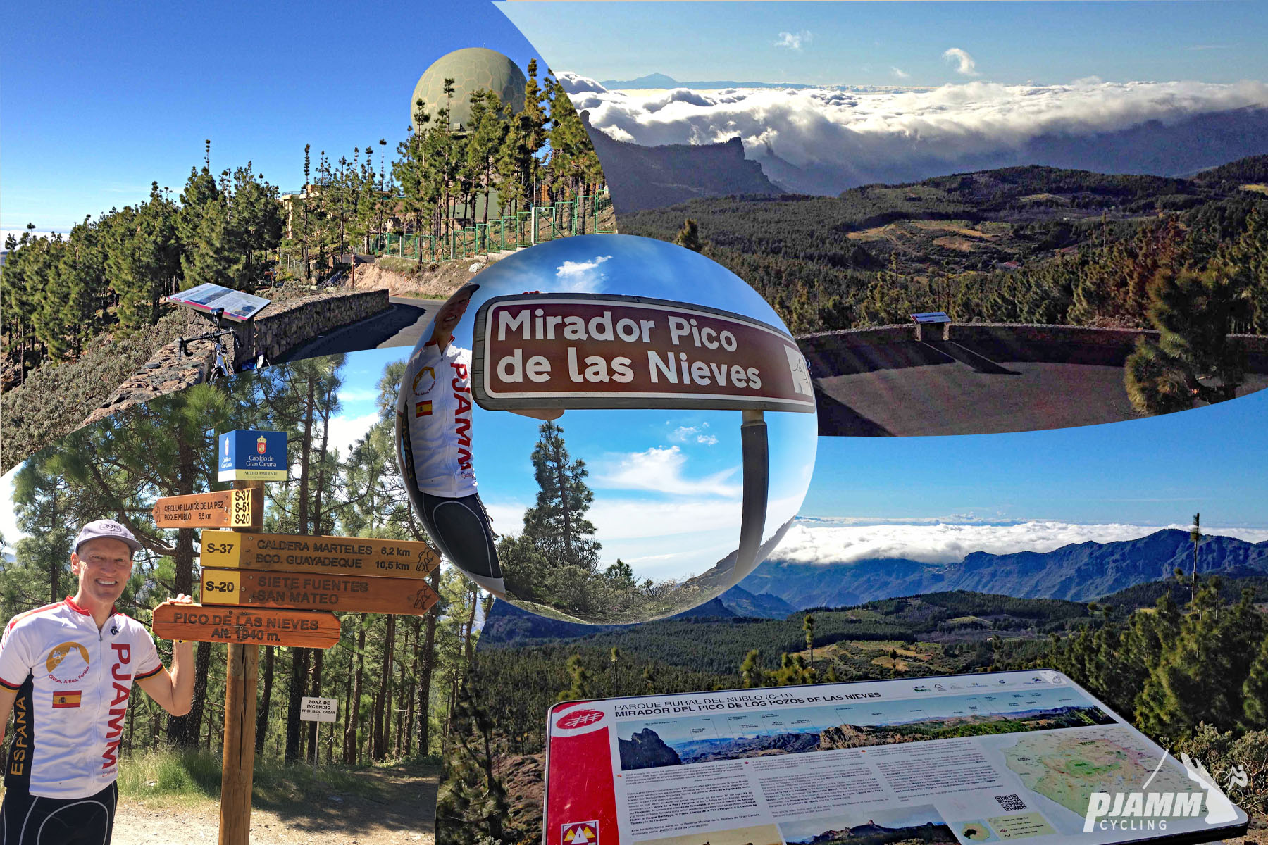
The last 1.7 kilometers, after turning onto GC-134, return to smooth tarmac for the finish. The true summit is occupied by a military radar base and off-limits to visitors, but the public viewing platform just below it delivers sweeping views across Gran Canaria and, on a clear day, all the way to Mount Teide on Tenerife.
PLAN YOUR ROUTE
 We've partnered with Sherpa-Map.com to bring you the best route planning tool. With a PRO Membership you can use this climb as a reference when creating your route.
 Pico de las Nieves' 6.7% average undersells the effort required over 16.3 miles. The steepest quarter mile point-to-point reaches 12.9%, the steepest full kilometer hits 11.9%, and the steepest full mile still averages 11.0%. Even the hardest continuous 5 miles hold at 9.1% - a long, grinding climb with a real, sustained double-digit stretch through the pine forest between roughly kilometer 6.5 and 18.
Roadway: The lower kilometers on GC-131 out of Telde are in good condition, but the surface roughens noticeably once the route merges onto GC-130 around kilometer 6.5, near a pair of hairpins, and stays rough by Gran Canaria standards through the pine forest. The final 1.7 kilometers on GC-134 return to smooth pavement. Some high-ground access roads on the island have seen brief winter ice closures in past years (GC-130/GC-134 were affected as recently as December 2025), so check current conditions before an off-season ride - no closures are in effect heading into late summer 2026.
Traffic: Steady but manageable near Telde, thinning out considerably through the forested middle section. Expect more vehicle traffic near the top on weekends, when the viewpoint draws sightseers as well as cyclists.
Parking: Telde, Gran Canaria's second-largest city, has ample parking and full services at the base of the climb near the start on GC-131.
Telde has all the shops, cafes, and bike services you'd expect from a city of over 100,000 people - stock up here, since there's nothing along the climb itself until the summit area.
Temperatures and wind pick up noticeably above 1,500 meters, so bring a layer for the exposed viewing platform and the descent. With a sustained double-digit stretch through the forest, gear for comfortable climbing over the full 16.3 miles, not just the steepest pitches.
Before heading out on any cycling adventure check out our Things to Bring on a Cycling Trip and use our interactive check list to ensure you don't forget anything.
Pico de las Nieves is one of several ways to reach Gran Canaria's high central plateau - riders based in Telde can also take in the Caldera de Los Marteles viewpoint passed along the way, or extend a trip toward Roque Nublo, the island's iconic monolith near the summit area.
Telde's historic center, anchored by the 1483 Church of San Juan Bautista, is worth a wander before or after the ride. Because conditions at nearly 2,000 meters can differ sharply from the coast, check current conditions before you go with our Weather tool.
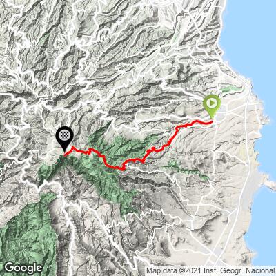
ROUTE MAP
MEMBER RATING
CURRENT WEATHER
PJAMM TRIPS ADVENTURE STARTER BUNDLES
Check out PJAMM Adventure's prepackaged (self-guided) cycling trips. They will help you plan, document and conquer your next adventure.
NEARBY CLIMBS (0) RADIAL PROXIMITY
FROM No Climbs Found
MEMBER REVIEWS & COMMENTS
Let us know what you thought of this climb. Signup for our FREE membership to write a review or post a comment.
Already have an account?
LOG IN HERE