38.8
PDI
16.8 mi
DISTANCE
6,127 ft
GAINED
6.8 %
AVG. GRADE
FULL CLIMB STATS
INTRO
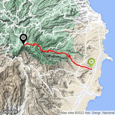
Pico de las Nieves is the highest point on Gran Canaria at roughly 1,950 meters, and this route from Carrizal, near Ingenio, is the hardest of several ways up - 16.8 miles with 6,127 feet of climbing at a 6.8% average grade, good for the 10th-hardest climb in all of Spain.
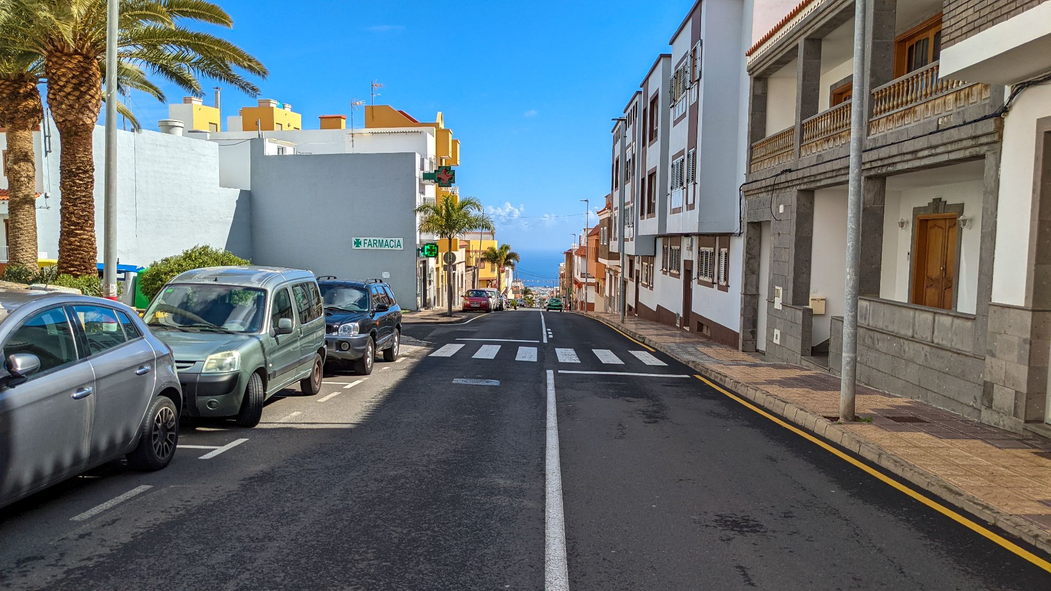
The route leaves Carrizal, passes through the busier streets of Ingenio, and joins the GC-120 for a long, winding ascent through Gran Canaria's central highlands.
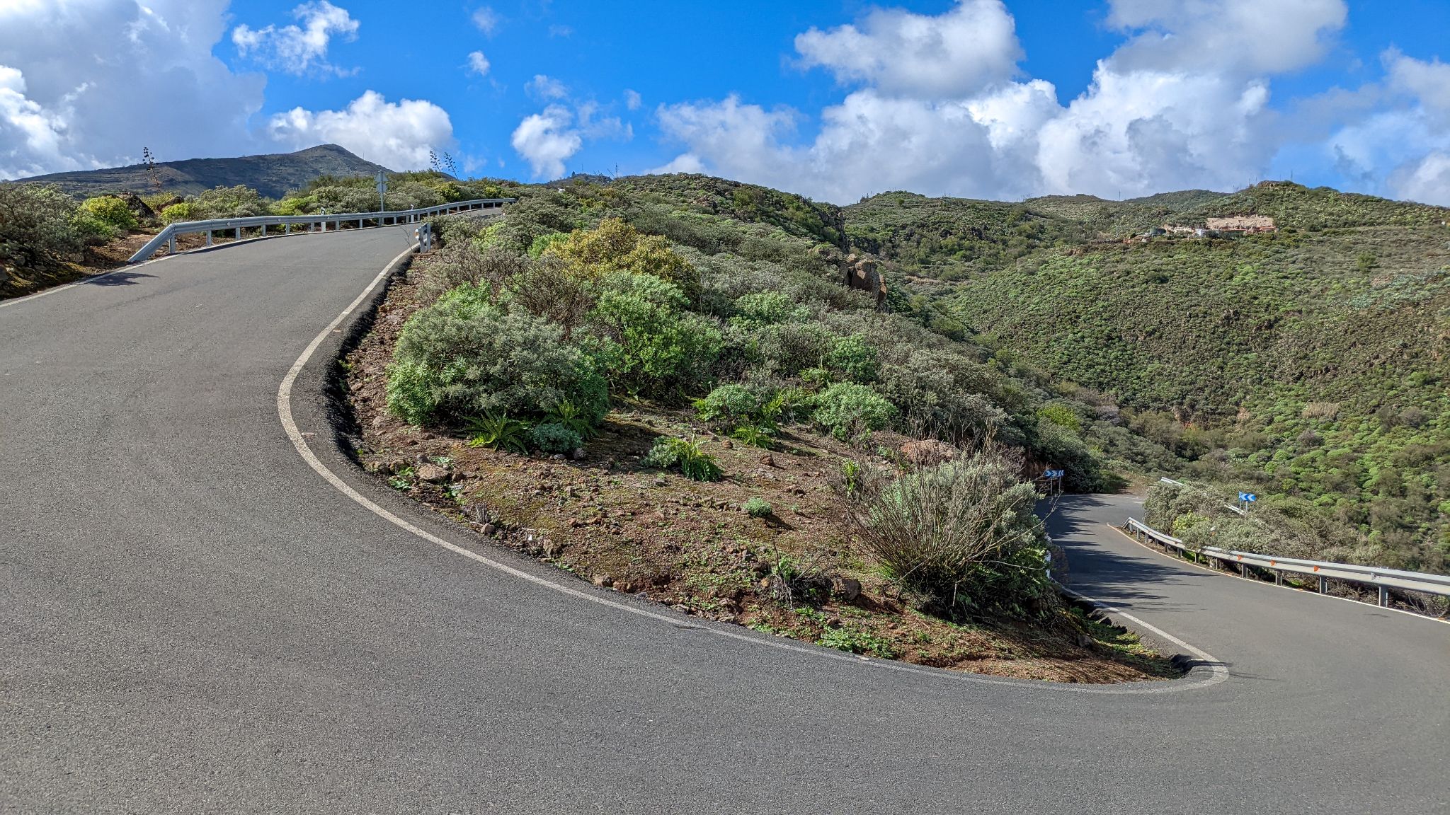
The real test comes after the village of La Pasadilla, where the road tips into a sustained double-digit stretch - reportedly averaging around 14% for a kilometer near its steepest - before easing into the final approach near the summit, where a small military installation and heliport sit just below the peak.
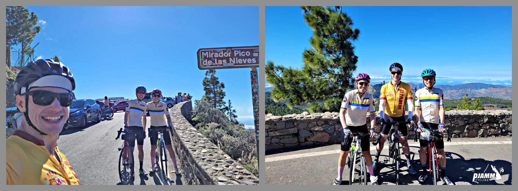
The summit itself is one of the island's best viewpoints, looking out over Gran Canaria's UNESCO Biosphere Reserve terrain of ravines and volcanic ridges. The climb also hosts La Pasadilla, a long-running local hillclimb event held each October, and the annual Gran Fondo Pico de las Nieves, both testament to how central this mountain is to cycling on the island.
PLAN YOUR ROUTE
 We've partnered with Sherpa-Map.com to bring you the best route planning tool. With a PRO Membership you can use this climb as a reference when creating your route.
 This route averages 6.8% over 16.8 miles, gaining 6,127 feet to the summit at nearly 6,350 feet - enough to make it the 10th-hardest climb in Spain and the toughest of the roads up Pico de las Nieves. The average grade undersells how uneven the effort is: the miles through Ingenio and the lower GC-120 are comparatively gentle, but the climb steepens hard after La Pasadilla, where local accounts put one kilometer at around 14% - by far the toughest sustained pitch on the mountain. After that stretch the grade eases somewhat for the final approach past the military area near the summit.
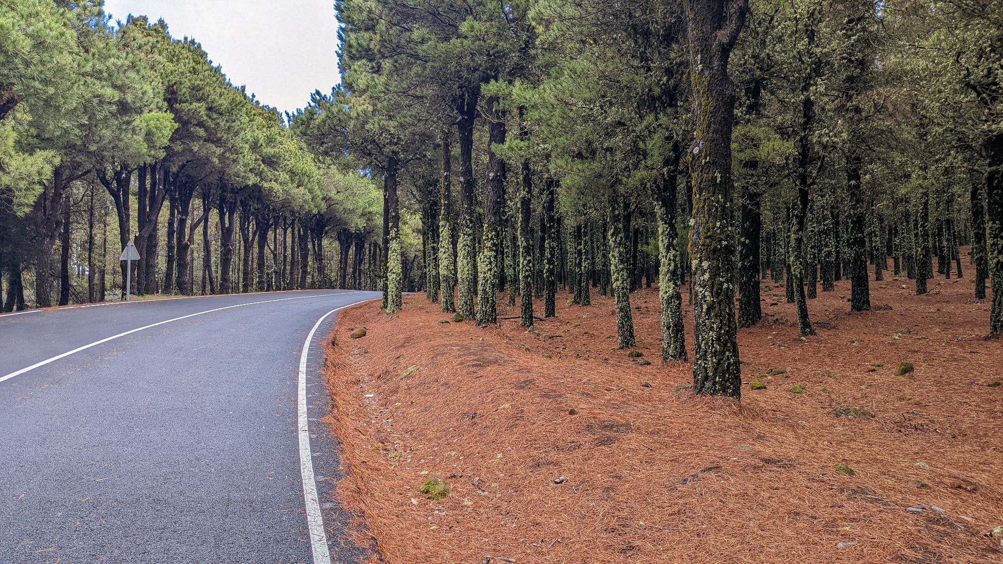
Roadway: Paved the entire way on the GC-120, in generally good condition, though like many Gran Canaria mountain roads it narrows and tightens through the switchbacks above La Pasadilla.
Traffic: Light to moderate. The stretch through Ingenio itself carries normal town traffic, but once past La Pasadilla the road sees mostly local and recreational traffic, including a steady stream of cyclists - this is one of the island's signature climbs and a regular feature of local hillclimb events. Watch for closures around the annual "Subida a La Pasadilla" hillclimb race, typically held in early October.
Parking: Roadside parking is available in Carrizal near the start, or in Ingenio itself if you want to skip the lower town miles. At the top, the summit parking area is small, so arrive early on weekends or during good weather, when it fills with both cyclists and sightseers.
Ingenio, in the first couple of miles, is the last town with real services - shops, bars, and water. The small village of Cazadores has a few options like a minimarket and a cafe, (at km 16) but don't rely on them being open unless you know.
Given the sustained double-digit sections, a compact crank or wide-range cassette is a real asset here. The summit sits close to 6,350 feet, so temperatures and wind can be noticeably harsher than at the coast - pack a jacket for the descent even on a warm Gran Canaria day.
Before heading out on any cycling adventure check out our Things to Bring on a Cycling Trip and use our interactive check list to ensure you don't forget anything.
Ingenio and the nearby coastal resorts of the southeast (Playa del Ingles, Maspalomas) make a convenient base, with Gran Canaria Airport about a 20-minute drive from Ingenio. This is a year-round destination thanks to the Canary Islands' mild climate, though the summit can occasionally see wind, cloud, or even light snow in winter given its near-6,350-foot elevation - check conditions before heading up with our Weather tool.
Pico de las Nieves can also be climbed from several other directions (Tejeda, Maspalomas, Telde), so riders based on the island for a while can tick off multiple sides of the same mountain.
ROUTE MAP
MEMBER RATING
CURRENT WEATHER
PJAMM TRIPS ADVENTURE STARTER BUNDLES
Check out PJAMM Adventure's prepackaged (self-guided) cycling trips. They will help you plan, document and conquer your next adventure.
NEARBY CLIMBS (0) RADIAL PROXIMITY
FROM No Climbs Found
MEMBER REVIEWS & COMMENTS
Let us know what you thought of this climb. Signup for our FREE membership to write a review or post a comment.
Already have an account?
LOG IN HERE