31.4
PDI
7.1 mi
DISTANCE
3,610 ft
GAINED
9.7 %
AVG. GRADE
FULL CLIMB STATS
Page Contributor(s): Ard Oostra, Montreux, Switzerland.
INTRO
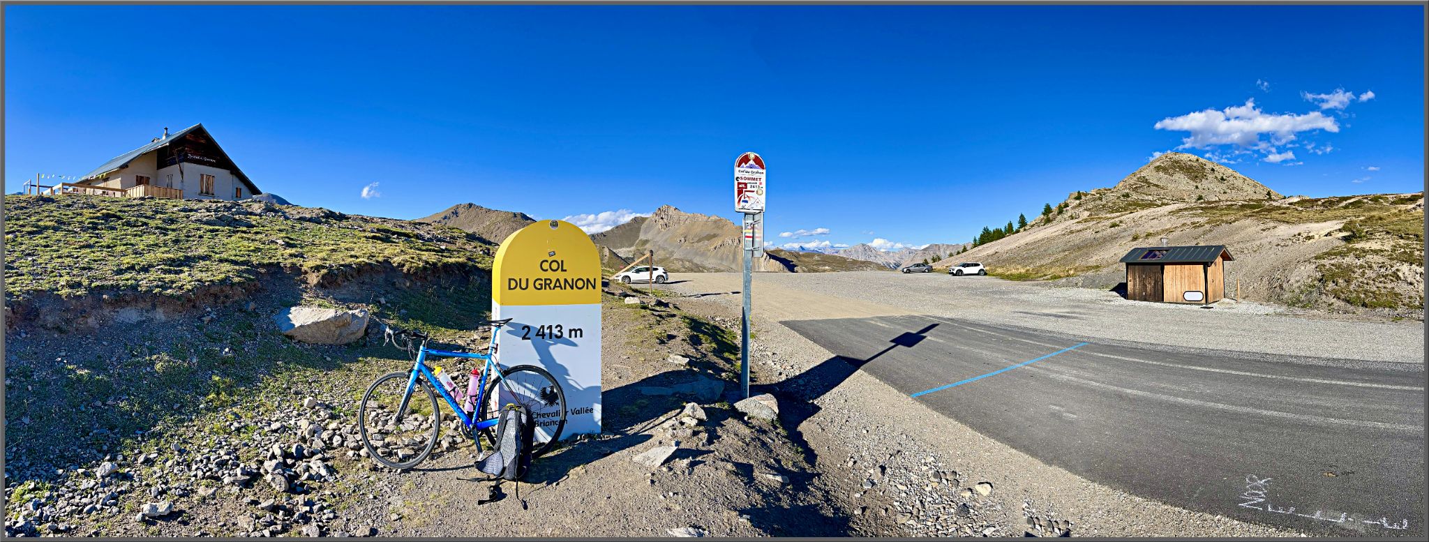
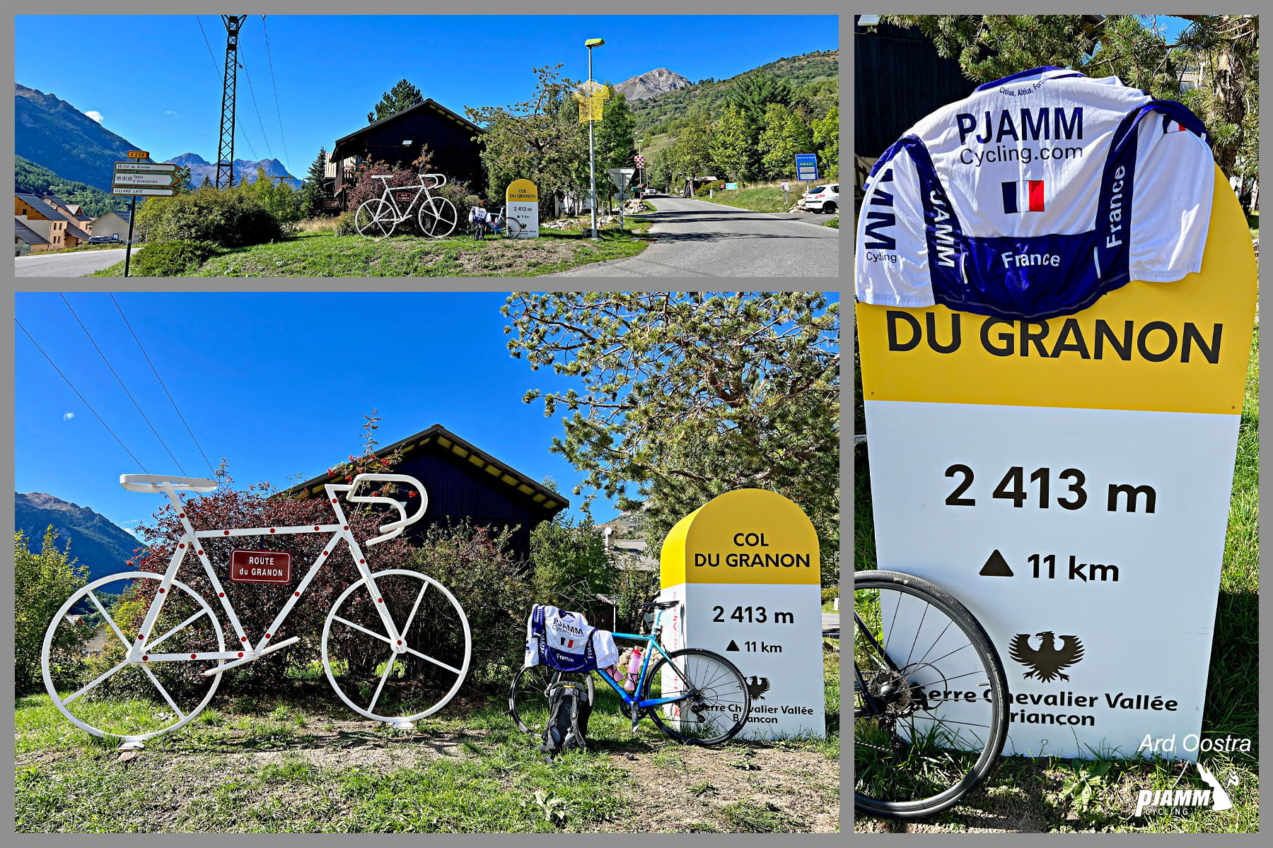
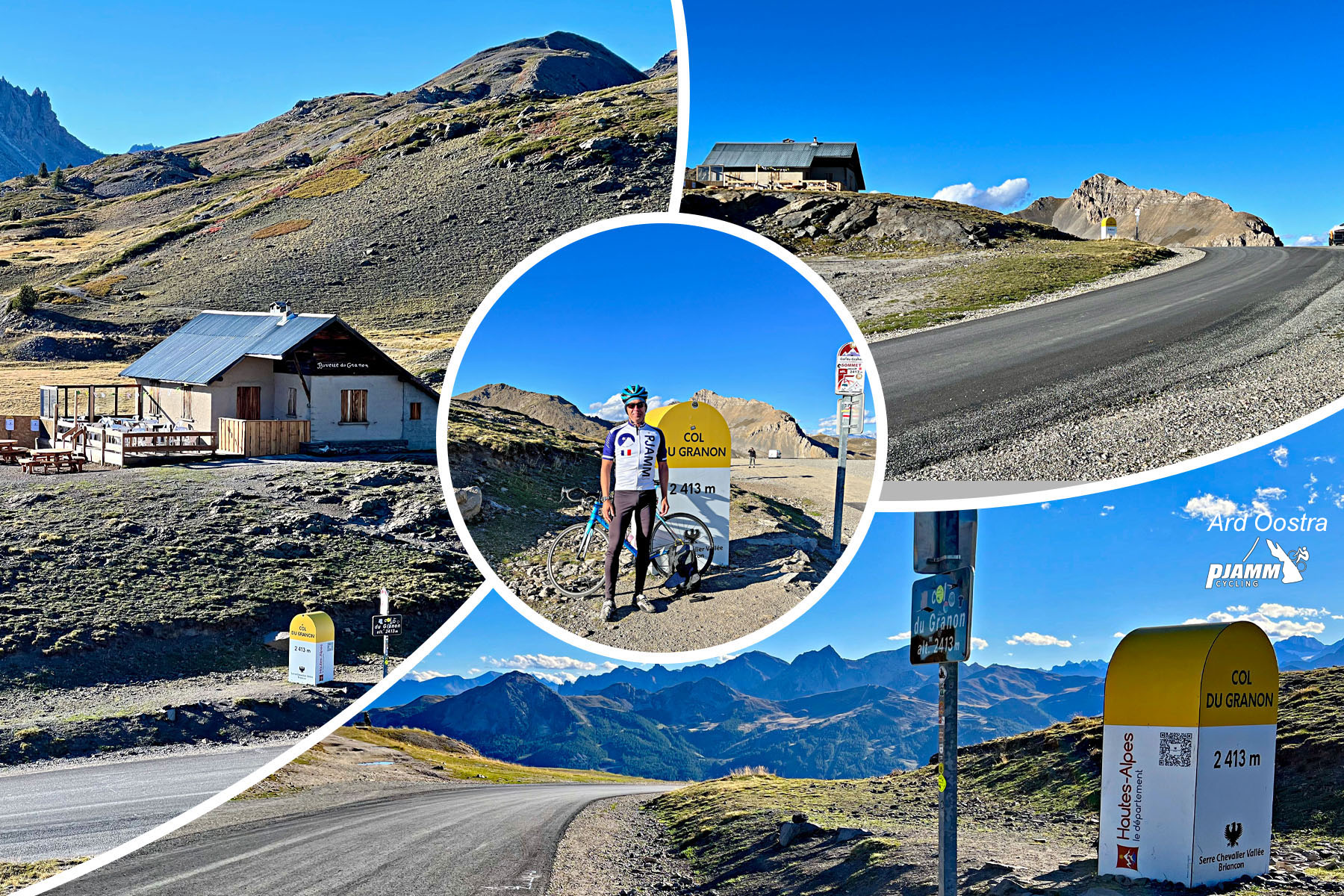
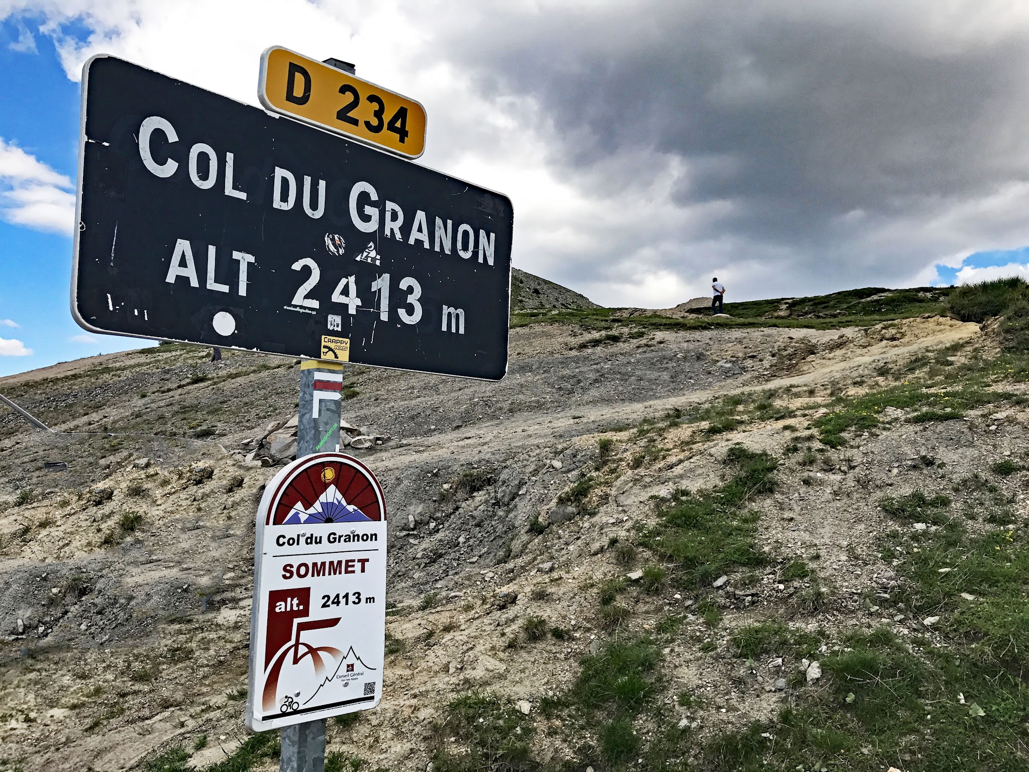
Col du Granon is one of the hardest climbs in the French Alps and one of the most consequential in Tour de France history. From Saint-Chaffrey, just outside Briançon, the road climbs 11.4 km (7.1 mi) and gains 1,100 m (3,610 ft) at a punishing 9.7% average to the col at 2,413 m (7,917 ft). It ranks #16 in France and #280 in the world by our rankings.
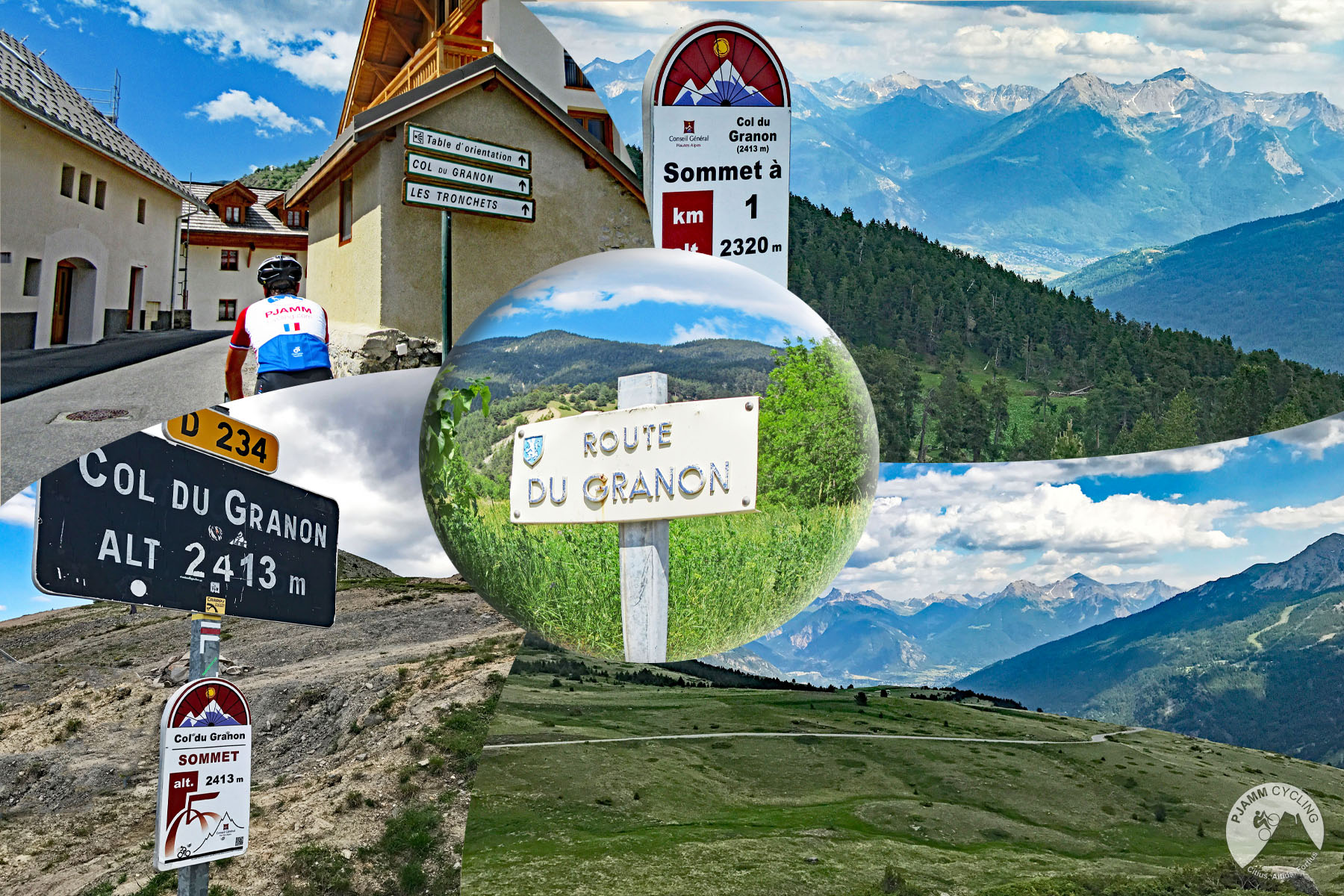
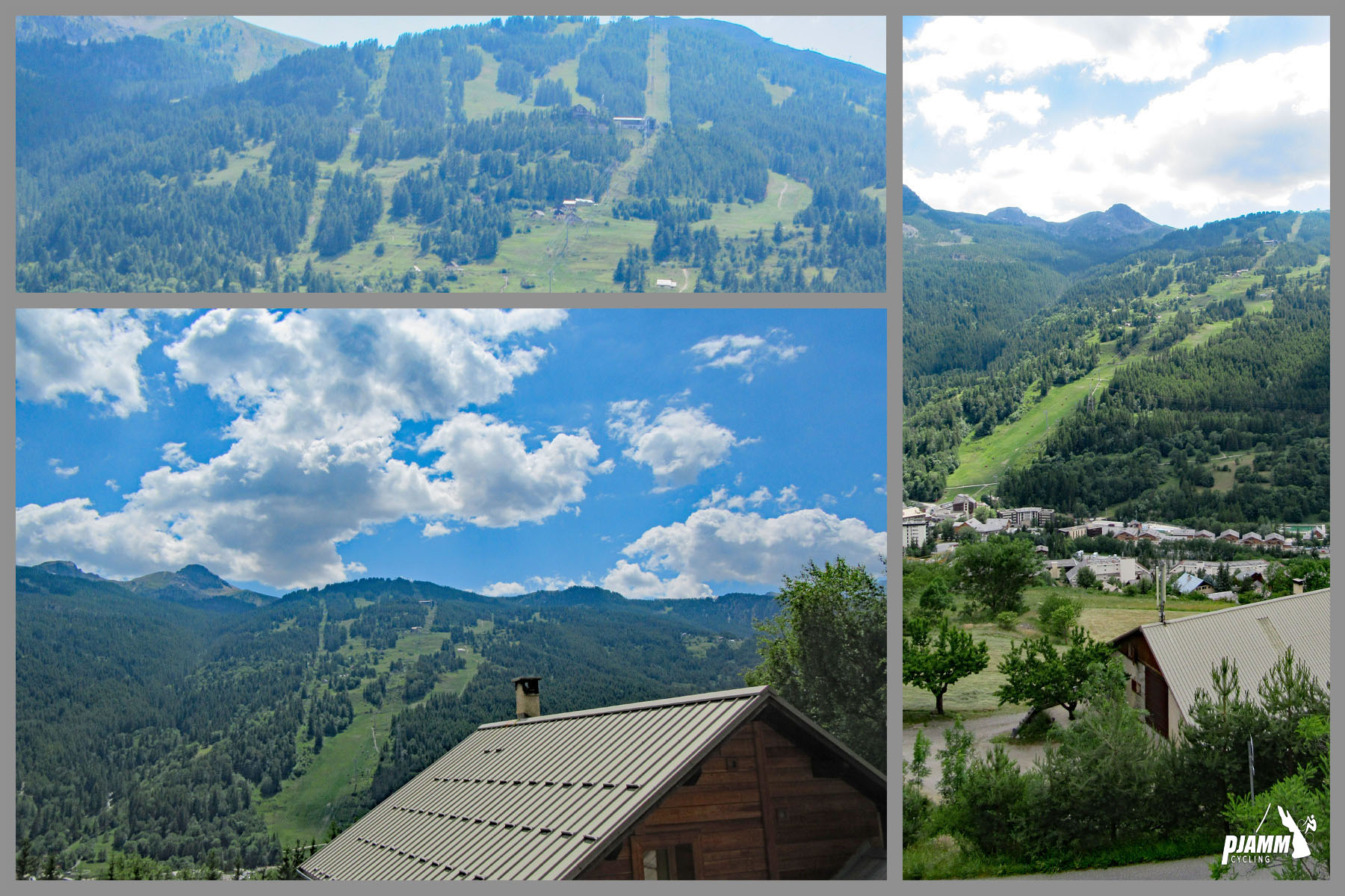
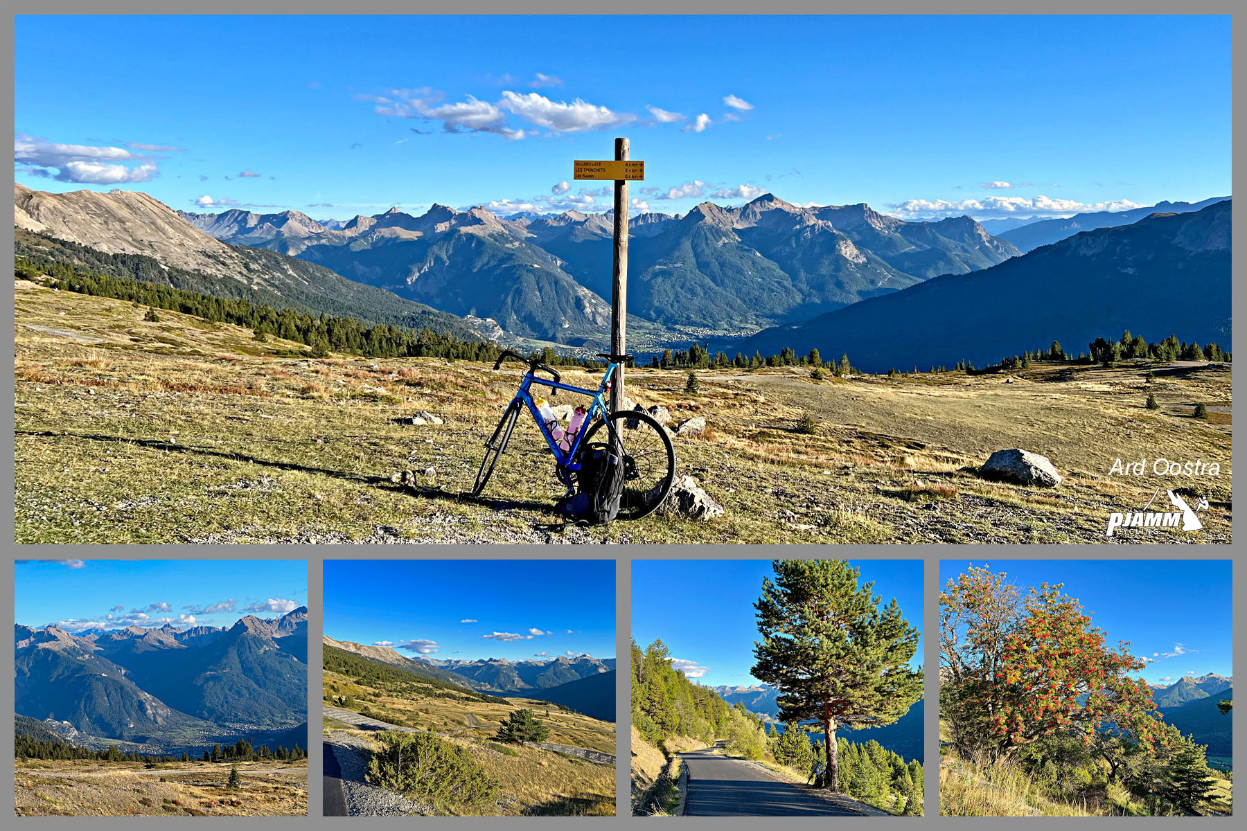
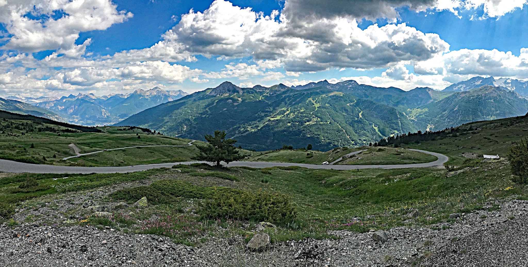
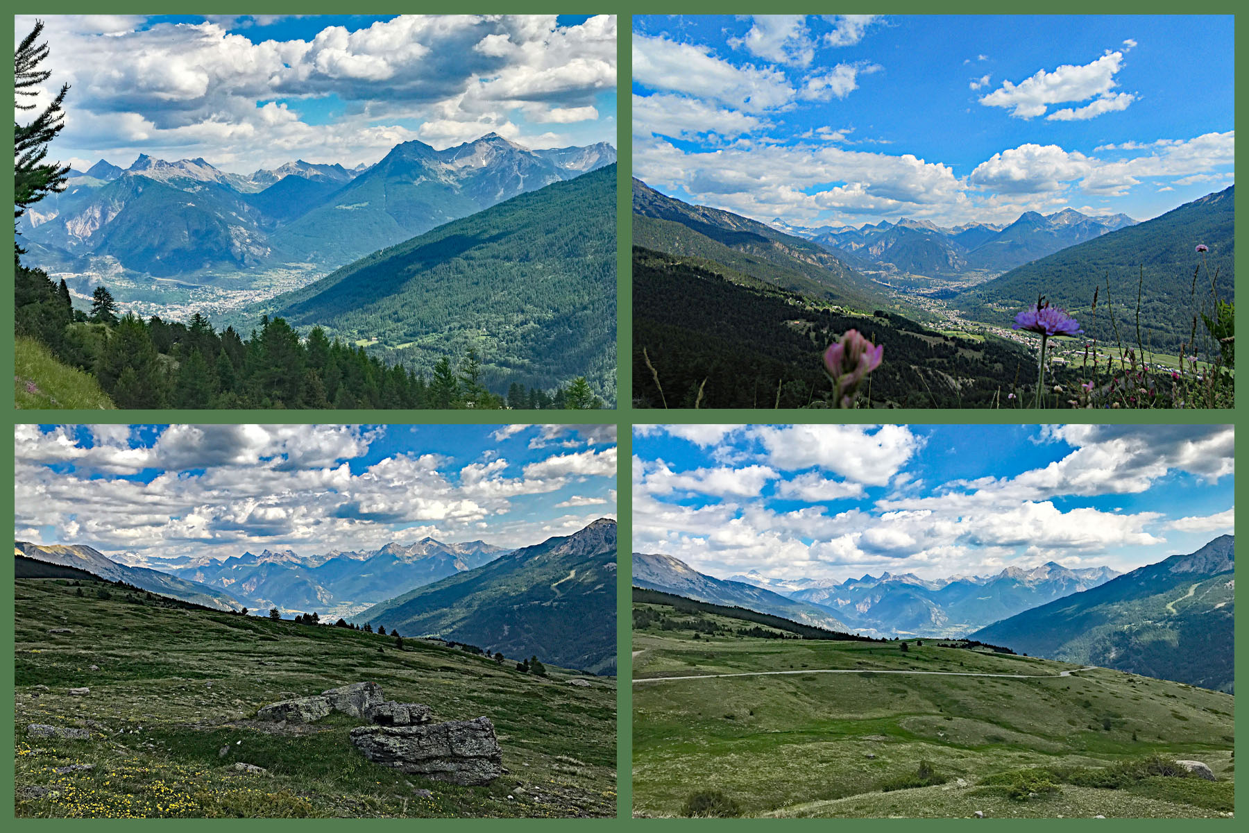
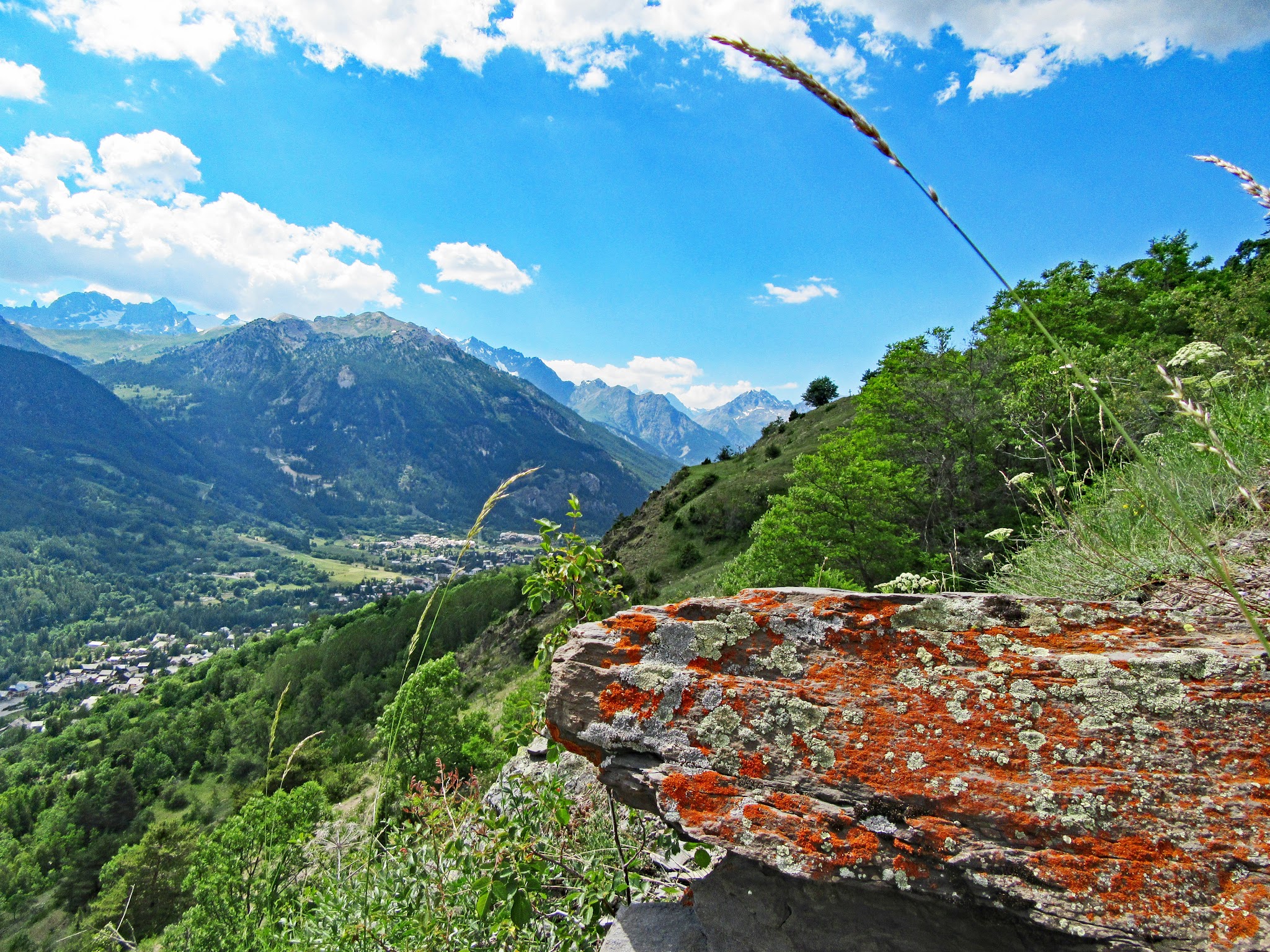
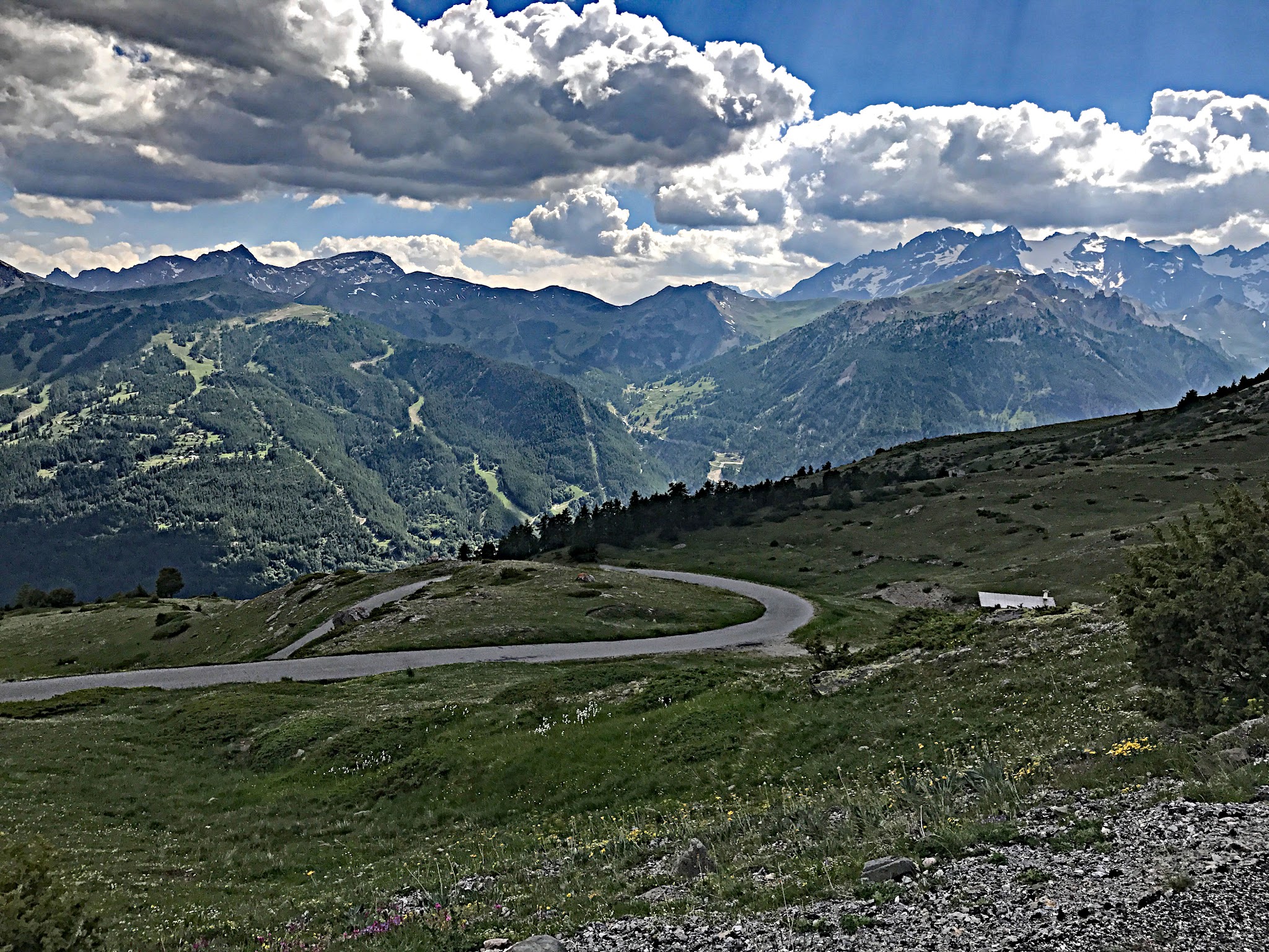
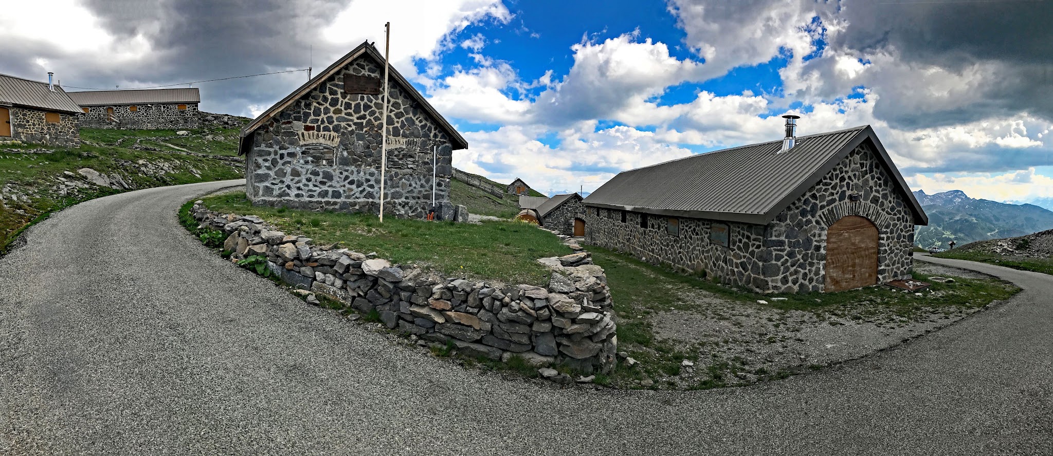
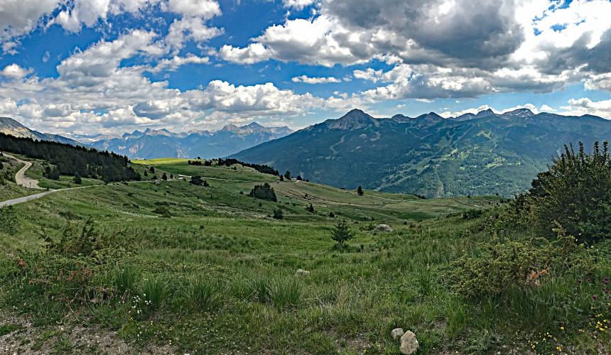
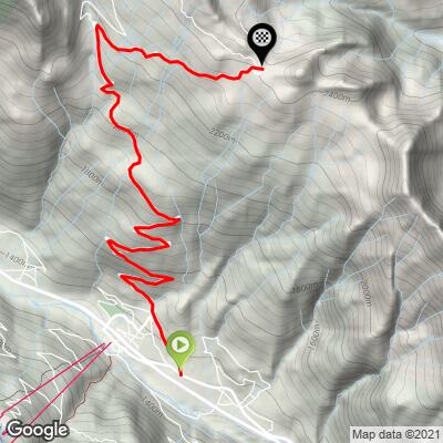
It's a dead-end road with no through traffic - the pavement stops at the col and only gravel tracks continue beyond - so it stays narrow, quiet and wild. Early on, five big switchbacks stack up with views back across the Guisane valley to the ski slopes of Serre Chevalier; higher up the trees give way to open alpine meadow and the hardest ramps of the day, with the Écrins massif filling the horizon to the south.
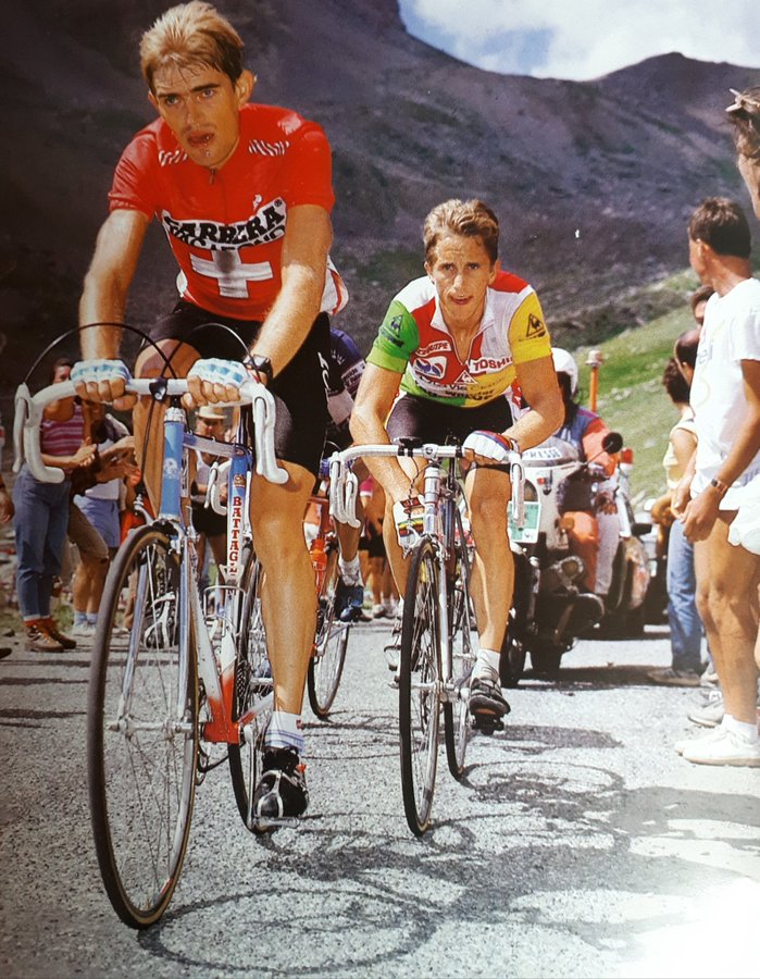
Until 2022 the Granon had featured in the Tour only once, but wow, did it make a splash in 1986. On Stage 17 that year - then the highest summit finish in Tour history - Greg LeMond worked with Swiss rider Urs Zimmermann to open a gap on his teammate Bernard Hinault, finishing 3:21 ahead of him to take the yellow jersey. LeMond never gave it up and became the first American to win the Tour de France.
The Tour then ignored the Granon for 36 years, until Stage 11 of the 2022 race, when Jonas Vingegaard attacked about 4 km from the top, cracked Tadej Pogačar and took the yellow jersey he would carry all the way to Paris.
PLAN YOUR ROUTE
 We've partnered with Sherpa-Map.com to bring you the best route planning tool. With a PRO Membership you can use this climb as a reference when creating your route.
 Col du Granon climbs 11.4 km (7.1 mi) and gains 1,100 m (3,610 ft) at a 9.7% average, starting from 1,363 m (4,472 ft), with no descending at all - there is nowhere on this climb to recover.
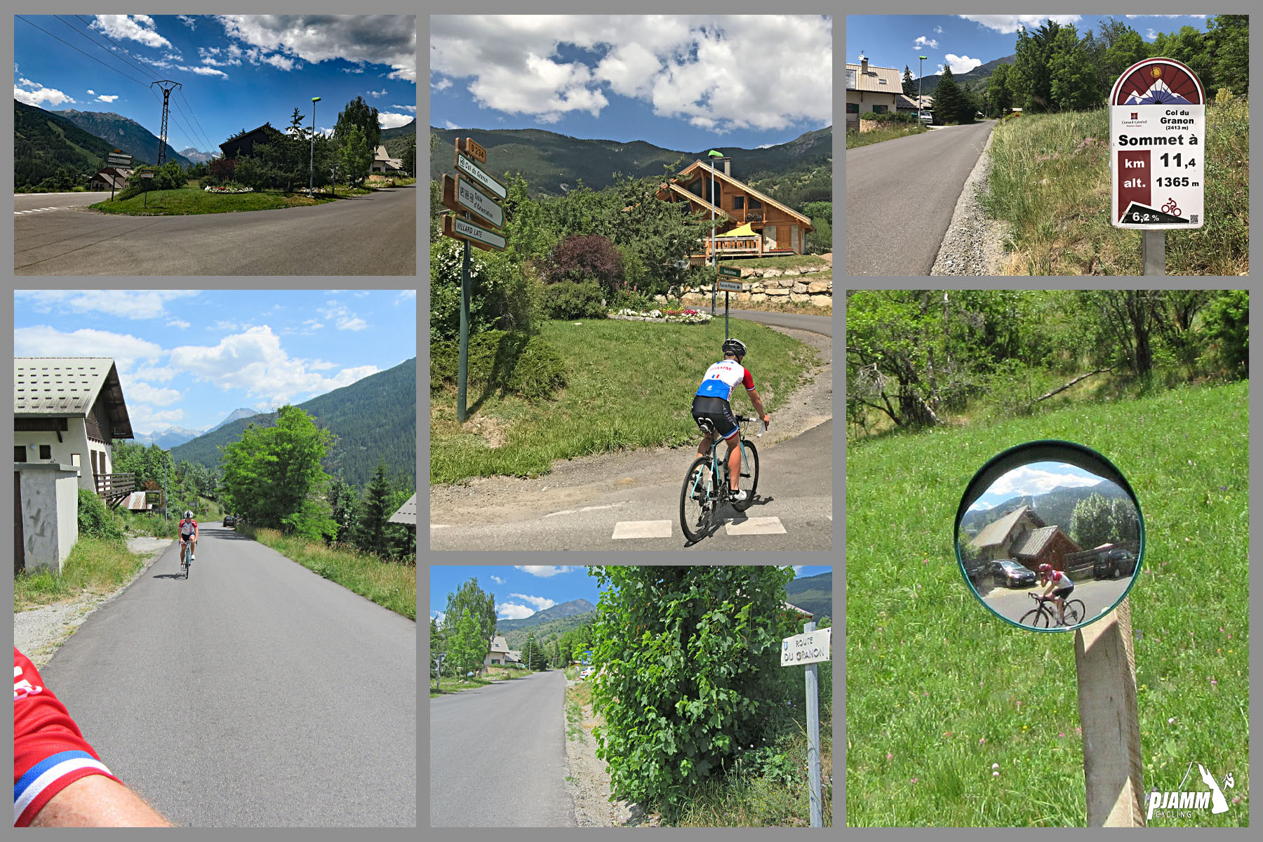
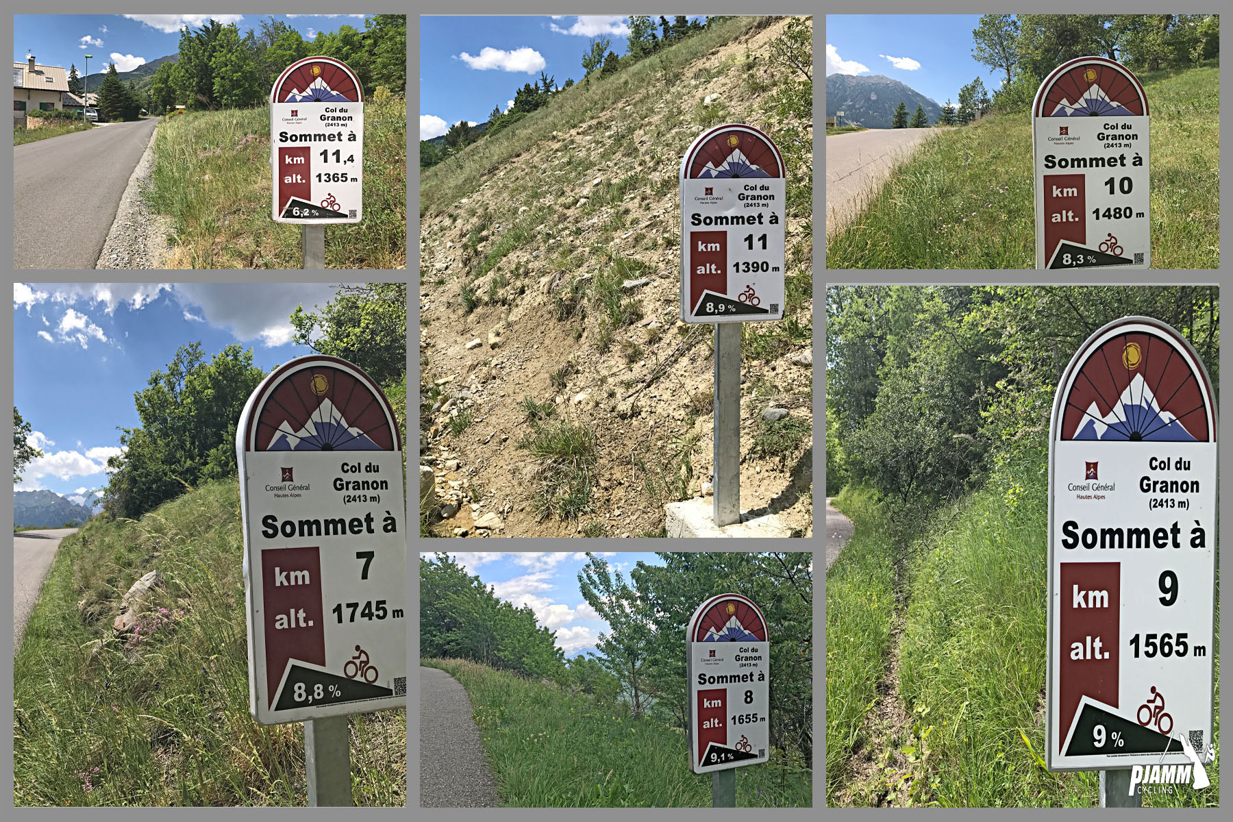
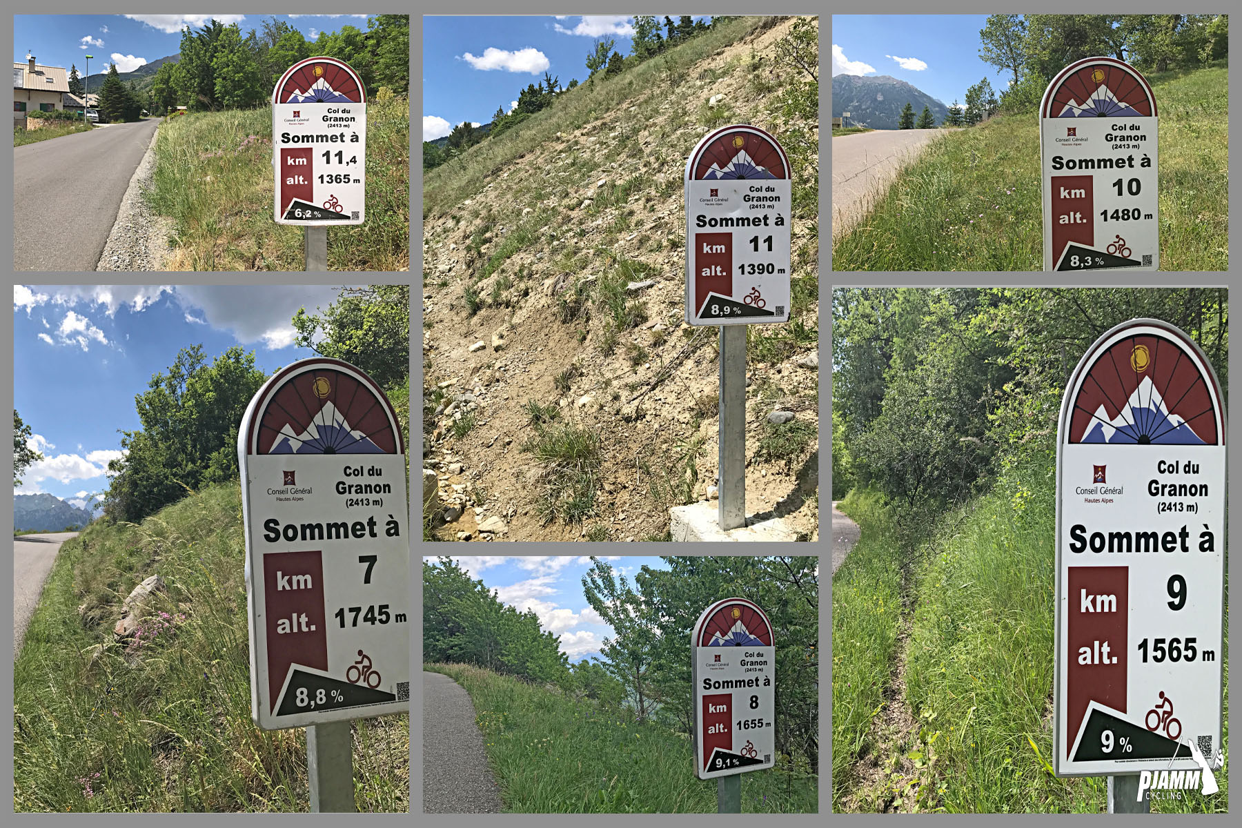
It also gets harder as it goes. The first kilometer out of Saint-Chaffrey averages 6.9%, and km 2 through 6 hold a steady 8.4-9.5% through the big switchbacks. The final 5 km are the crux: km 7 and 8 average 11.3% and 11.6%, and after a brief 8.6% breather, km 10 and 11 average 12.4% and 11.6% right up to the col.
The steepest kilometer averages 12.9%, the steepest 2 km 12.0%, the steepest 5 km 11.1%, and the steepest 100 m (0.1 mi) pitch 15.6%.
Roadway: The D234T is paved all the way to the col, and the surface was improved ahead of the 2022 Tour finish, but it remains a narrow mountain road with no center line, and riders note the asphalt can be coarse and a little gritty in places. Past the col the road turns to gravel, so road bikes should turn around at the top. The road is closed by snow in winter and typically reopens in late May.
Traffic: Light - it's a dead end with no through traffic, but the col is a popular hiking trailhead, and summer drivers heading to the top make passing tight on the narrow road, so descend with care. For a car-free ride, the col is closed to motor traffic and reserved for cyclists on selected mornings each year; the next one is Thursday, 22 October 2026, from 9 am to noon.
Parking: There's a parking lot right at the start of the climb in Saint-Chaffrey. For current road and event information, the Serre Chevalier tourist office has a desk at the Place du Téléphérique in neighboring Chantemerle.
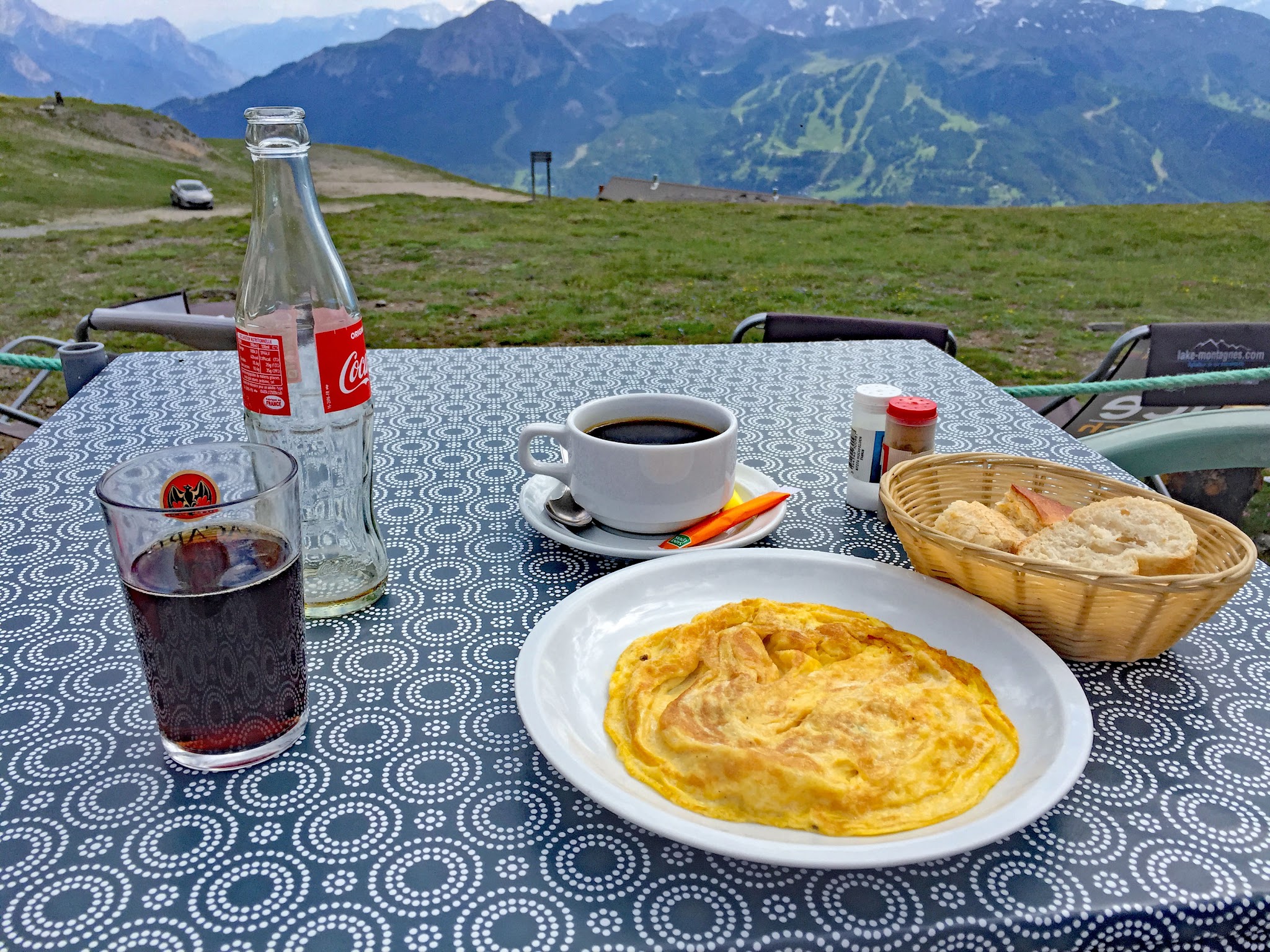
Provisions: There's a well-known restaurant at the top - the Buvette du Granon, serving simple mountain food made from local products with a view over the Écrins. It's typically open daily through the summer season, roughly mid-June to mid-September, and definitely worth the stop after conquering this beast. Otherwise, stock up in Saint-Chaffrey or Chantemerle before you start; there's nothing on the way up.
Gear: With the last 5 km averaging over 11%, a compact crankset paired with a 32-34-tooth cog is a sensible choice. At 2,413 m conditions can be very different from the valley, so check them with our Weather tool before you go and carry a layer for the long, steep descent.
Before heading out on any cycling adventure check out our Things to Bring on a Cycling Trip and use our interactive check list to ensure you don't forget anything.
Briançon is easily the best place to stay in this region. It's a world class cycling hub that will put you right at the start of some of the best and most famous climbs in the Alps, like the Col d'Izoard, Col du Galibier, Col du Lautaret, and the Col de Montgenéve.
In 2022 the Tour came through twice in two days: Stage 11 finished atop the Granon, and Briançon hosted the start of Stage 12 the next day.
Saint-Chaffrey and its neighbor Chantemerle sit at the heart of the Serre Chevalier ski area, so there's plenty of summer lodging right at the foot of the climb if you'd rather not stay in Briançon. The Granon's high pastures are a protected Natura 2000 site - stay on marked paths if you explore on foot from the col.
ROUTE MAP
MEMBER RATING
CURRENT WEATHER
PJAMM TRIPS ADVENTURE STARTER BUNDLES
Check out PJAMM Adventure's prepackaged (self-guided) cycling trips. They will help you plan, document and conquer your next adventure.
NEARBY CLIMBS (0) RADIAL PROXIMITY
FROM No Climbs Found
MEMBER REVIEWS & COMMENTS
Let us know what you thought of this climb. Signup for our FREE membership to write a review or post a comment.
Already have an account?
LOG IN HERE