Emigrant Pass East Bike Climb - PJAMM Cycling

25.3
PDI
22.8 mi
DISTANCE
5,347 ft
GAINED
4.4 %
AVG. GRADE

FULL CLIMB STATS

INTRO

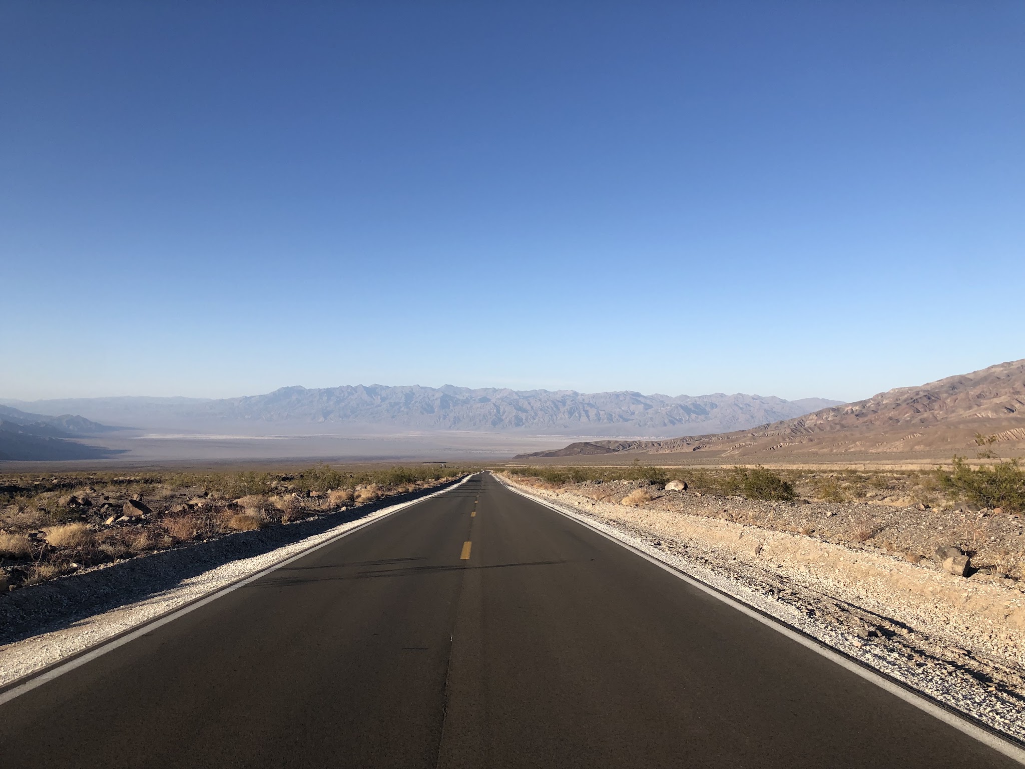
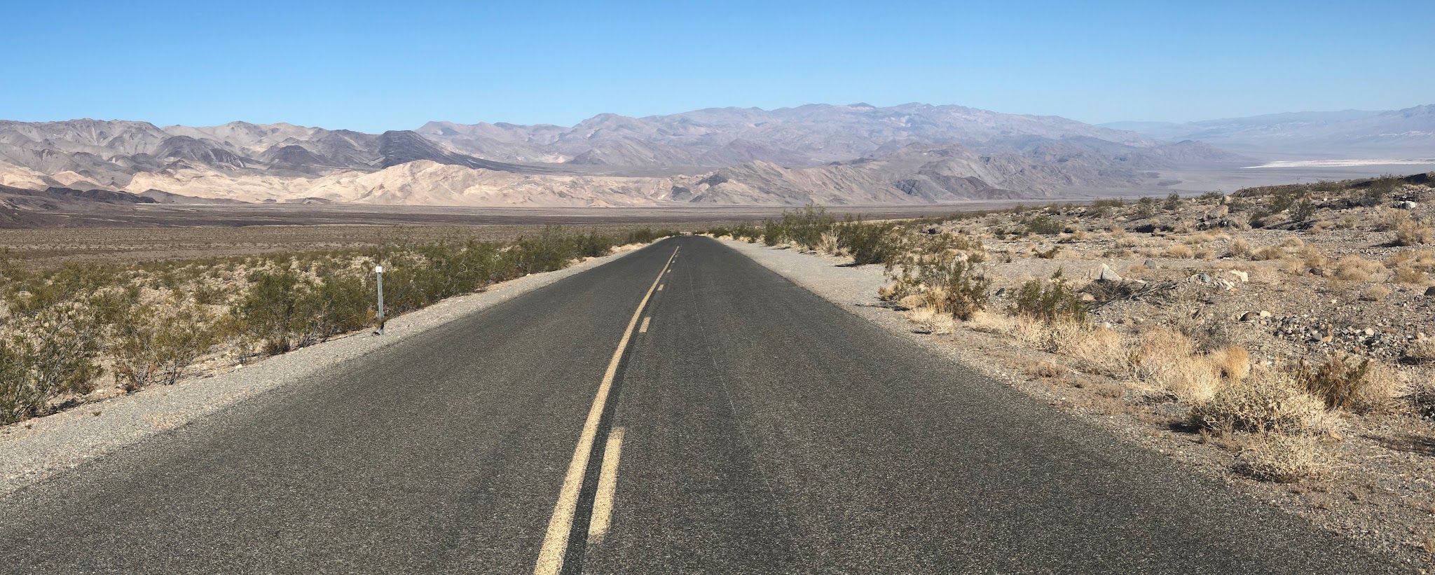
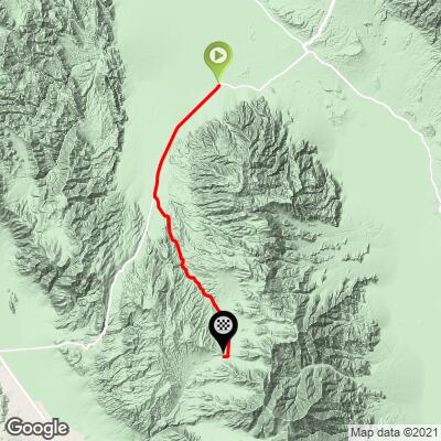
Emigrant Pass East begins in Stovepipe Wells, CA, and climbs 22.8 miles up to Emigrant Pass at 5,316 feet, gaining 5,347 feet at a 4.4% average. It is an extremely remote climb in Death Valley National Park. The first several miles seem almost flat and we are definitely in an arid, desert-like setting. We begin to climb into more mountainous, yet barren, landscape around miles 7 and 8.

The first 9.2 miles follow Highway 190, then the route makes its only turn onto Emigrant Canyon Road, which climbs through Emigrant Canyon from about mile 11 to mile 18 before a flat stretch and the final push to the pass. There is very little vegetation along this climb and no trees. As with most Death Valley climbs, the views are stark - desert and high desert - and the road is very quiet once you leave the highway.

PLAN YOUR ROUTE

We've partnered with Sherpa-Map.com to bring you the best route planning tool. With a PRO Membership you can use this climb as a reference when creating your route.
4.4% average grade.  47% of the climb is at 0-5% grade and another 47% is at 5-10%.  The steepest quarter-mile is 9.4%, the steepest half-mile 8.1% and the steepest mile 7.1%.

The first several miles on Highway 190 are almost flat, the grade picks up around miles 7 and 8, and the climb through Emigrant Canyon between miles 11 and 18 is where it feels like real climbing. There is a 3-mile flat stretch beginning at about mile 18 before the final climb to the pass.

See more details and tools regarding this climb's grade via the “Profile Tool” button.  
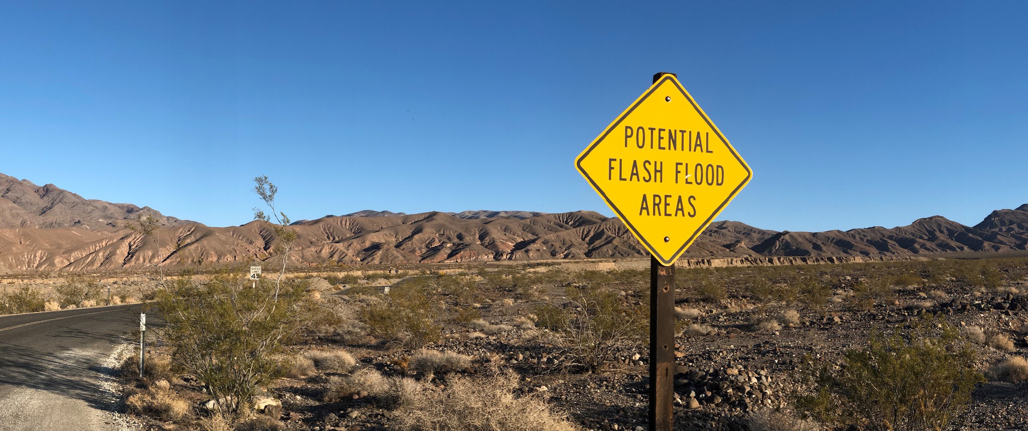
Roadway: The first 9.2 miles are on Highway 190, which is in excellent condition with no shoulder but unobstructed sight for drivers for miles. The last 13 miles are on remote Emigrant Canyon Road, which is paved and in good shape with no shoulder, although riders report a few bumpy sections on the plateau before the final climb to the pass. Emigrant Canyon Road was closed from January until April 25, 2025 while the park added buried concrete barriers and rock-filled baskets to protect it against flash floods after damage from Hurricane Hilary in 2023, and it has been open since. Highway 190 stayed open through the park during the November 2025 storm that closed Badwater Road and several other routes. Check the park's road alerts before you go, since flash floods can close roads without warning.

Traffic: On Highway 190 - mild, but fast moving.  Minimal to none on Emigrant Canyon Road.

Parking: In Stovepipe Wells at the start of the climb, where the village has a hotel, a general store, a gas station and a ranger station (Map;  Street View). Park entry is required: it is currently $15 for one person on a bicycle (good for 7 days), paid by card only - no cash - at the Stovepipe Wells Ranger Station, or in advance on Recreation.gov. 
Provisions:  At the Stovepipe Wells Store at the start of the climb. There are no services beyond Stovepipe Wells, so carry all the water and food you will need for the full 22.8 miles and the descent.

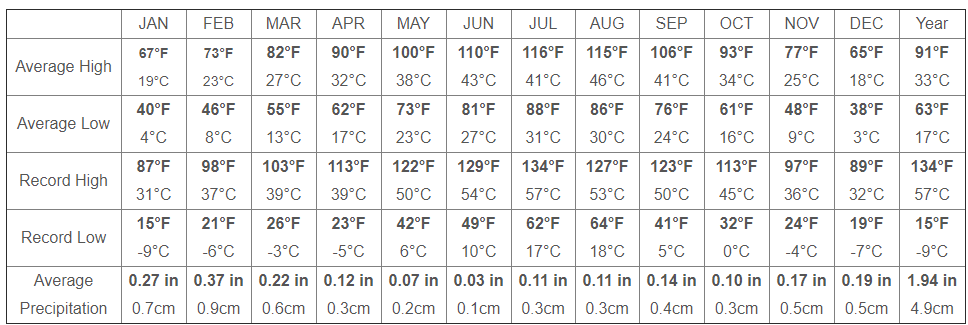
Weather:  It is torturously hot in Death Valley during the hot season - average high temperature is 109 to 116. Consult the PJAMM "Full Forecast" feature for temperatures at the start and finish of your climb to be well prepared for the ride. 
Before heading out on any cycling adventure check out our Things to Bring on a Cycling Trip and use our interactive check list to ensure you don't forget anything.
We have stayed several times at Stovepipe Wells Village Hotel - it has a restaurant, pool and is reasonably priced compared to the two hotels in Furnace Creek. The village itself is a California Historical Landmark (No. 826), with its hotel dating to 1925, and the Mesquite Flat Sand Dunes, which stretch about 7 miles across the valley floor, are right beside it and make a good rest-day stop. The same road continues over the pass toward Wildrose - see our Emigrant Pass West page for the opposite approach. 

See our Death Valley National Park page for more information or the “Routes in Area” button on the menu bar above to see other bike climbs in this area. 

ROUTE MAP
MEMBER RATING

Difficulty: Challenging
4/5
Road
3/5
Traffic
3/5
Scenery

CURRENT WEATHER

PJAMM TRIPS ADVENTURE STARTER BUNDLES

Check out PJAMM Adventure's prepackaged (self-guided) cycling trips. They will help you plan, document and conquer your next adventure.
ALL TRIPS
Browse all of our prepackaged trips and find your next adventure!
Death Valley
United States (CA)
21 ROUTES
34 POIs
ROUTE STATS (TOTAL)
553.3
mi
DISTANCE
55,125
ft
ELEV. GAIN
Owens Valley: Bishop
United States (CA)
19 ROUTES
26 POIs
ROUTE STATS (TOTAL)
268.3
mi
DISTANCE
55,531
ft
ELEV. GAIN
Owens Valley: Lone Pine
United States (CA)
15 ROUTES
31 POIs
ROUTE STATS (TOTAL)
157.7
mi
DISTANCE
51,016
ft
ELEV. GAIN

NEARBY CLIMBS (0) RADIAL PROXIMITY

FROM
No Climbs Found

MEMBER REVIEWS & COMMENTS

Let us know what you thought of this climb. Signup for our FREE membership to write a review or post a comment.
Already have an account?

Apr 30, 2021
difficulty: Challenging
scenery: 3
traffic: 3
road: 4
Apr 30, 2021
scenery: 3
traffic: 3
road: 4
The first part of this climb is on a good road with lots of traffic. Once you turn off the main road, the amount of traffic goes way down and the road is not as good. You reach a plateau before the final climb to the pass where the road is quite bumpy in places (especially on the descent).
ROUTE MAP
PROFILE TOOL
Route Data
S.G. (%)
hide
Segment Data
hide
CLIMB SUMMARY

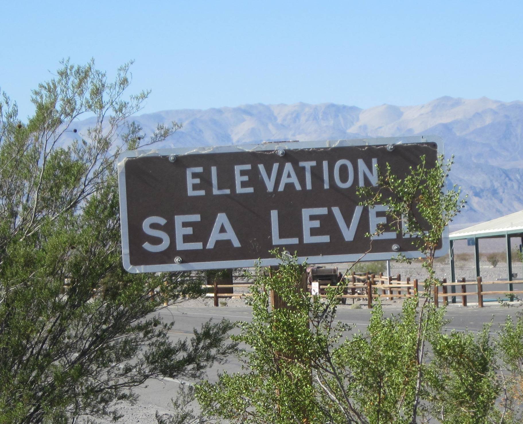
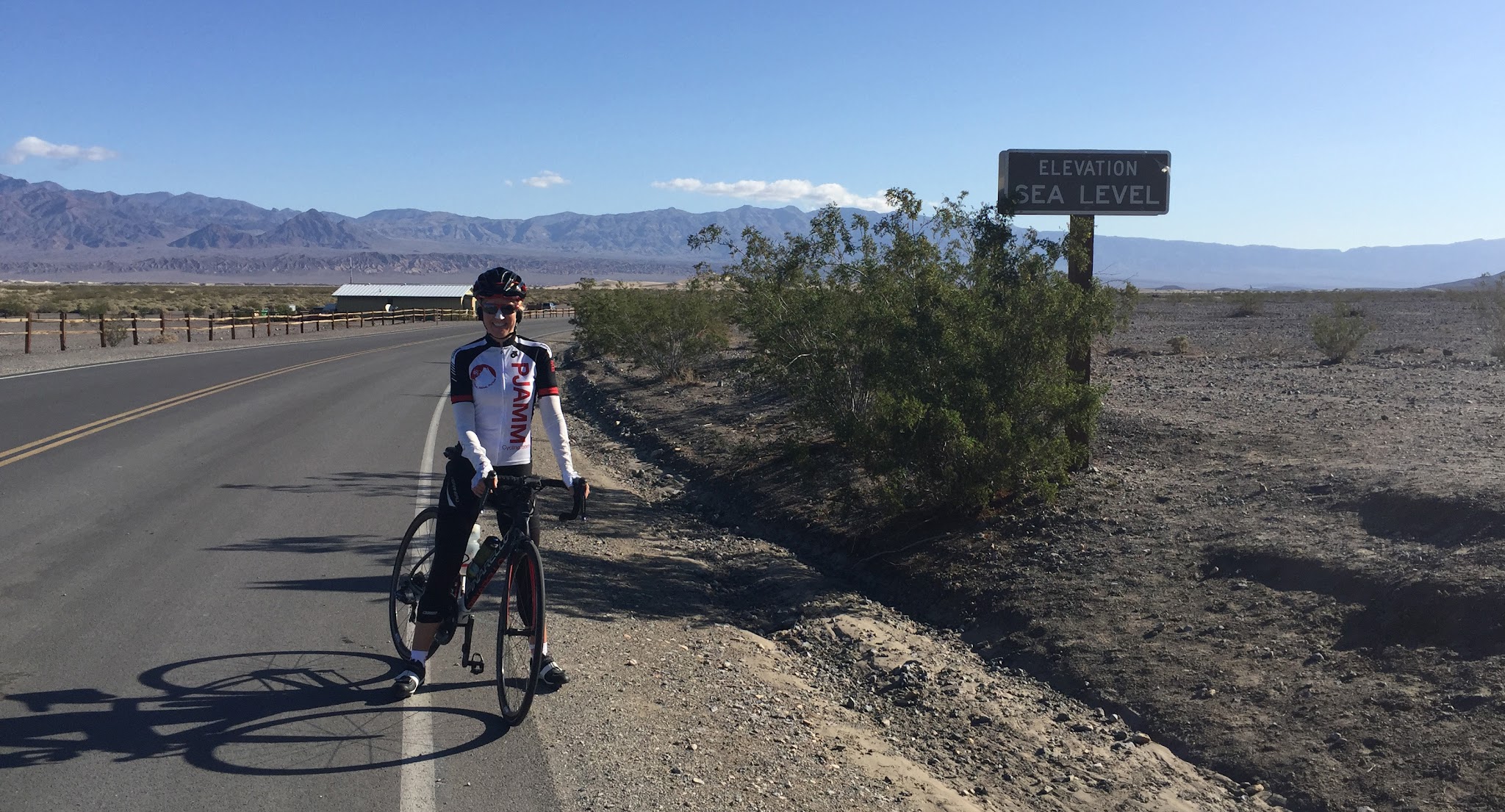
Emigrant Pass, Death Valley National Park - climb by bike - cyclist in Stovepipe wells at Sea Level sign

Cycling Emigrant Pass East and West - from the East this is a Top 100 US bike climb.

From the east (Stovepipe Wells) ride ride 22.8 miles gaining 5,367’ to elevation 5,316’ at 4.4% average grade.  

Visit our Death Valley National Park page 

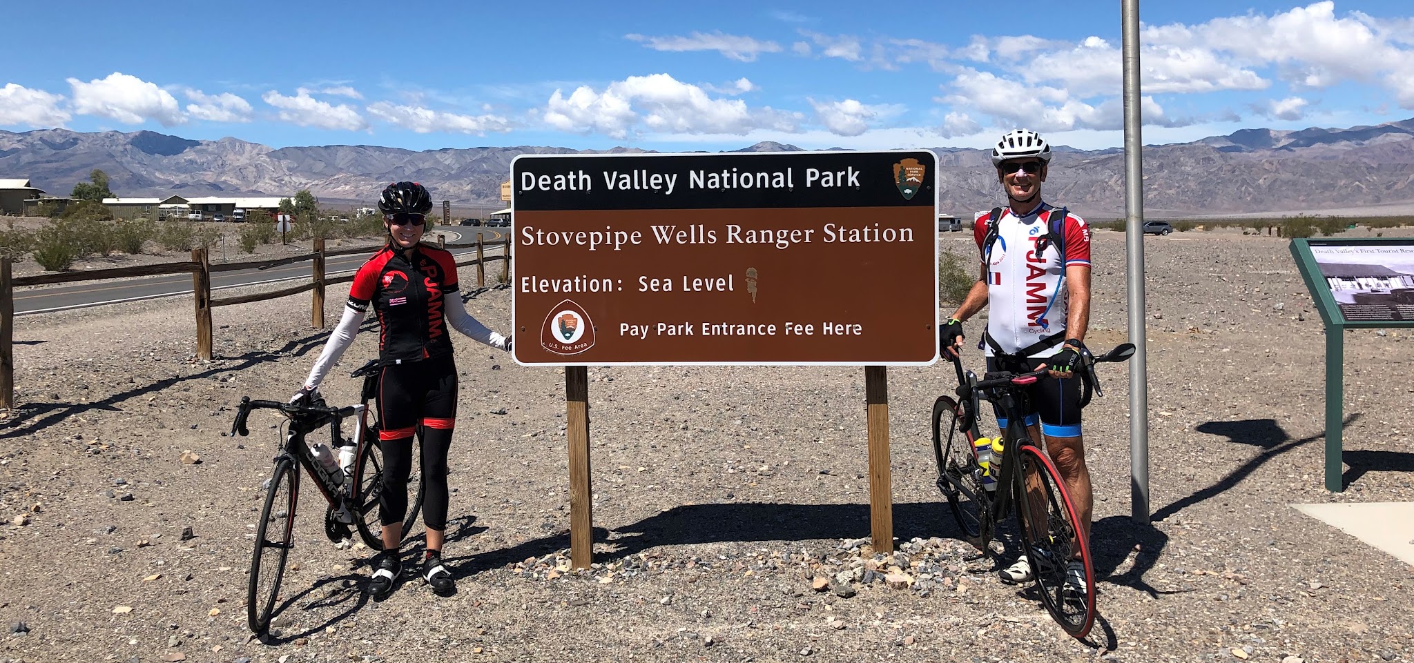
Cycling Emigrant Pass, Death Valley  - cyclists with bikes at Death Valley National Park Sign 

Start the Emigrant Pass East is in Stovepipe Wells, CA      

California Top 10 Most Epic Climb 

Emigrant Pass North begins in Stovepipe Wells, CA and is an extremely remote climb in Death Valley . The first several miles of this climb seem almost flat and we are definitely in an arid, desert-like setting. We begin to climb into more mountainous, yet barren, landscape around miles 7 and 8. As of October, 2014, there was water at the 9 mile point at Emigrant Campground. There is very little vegetation along this climb and no trees. As with most Death Valley climbs, the views are, not surprisingly, very stark and desert to high desert-like.


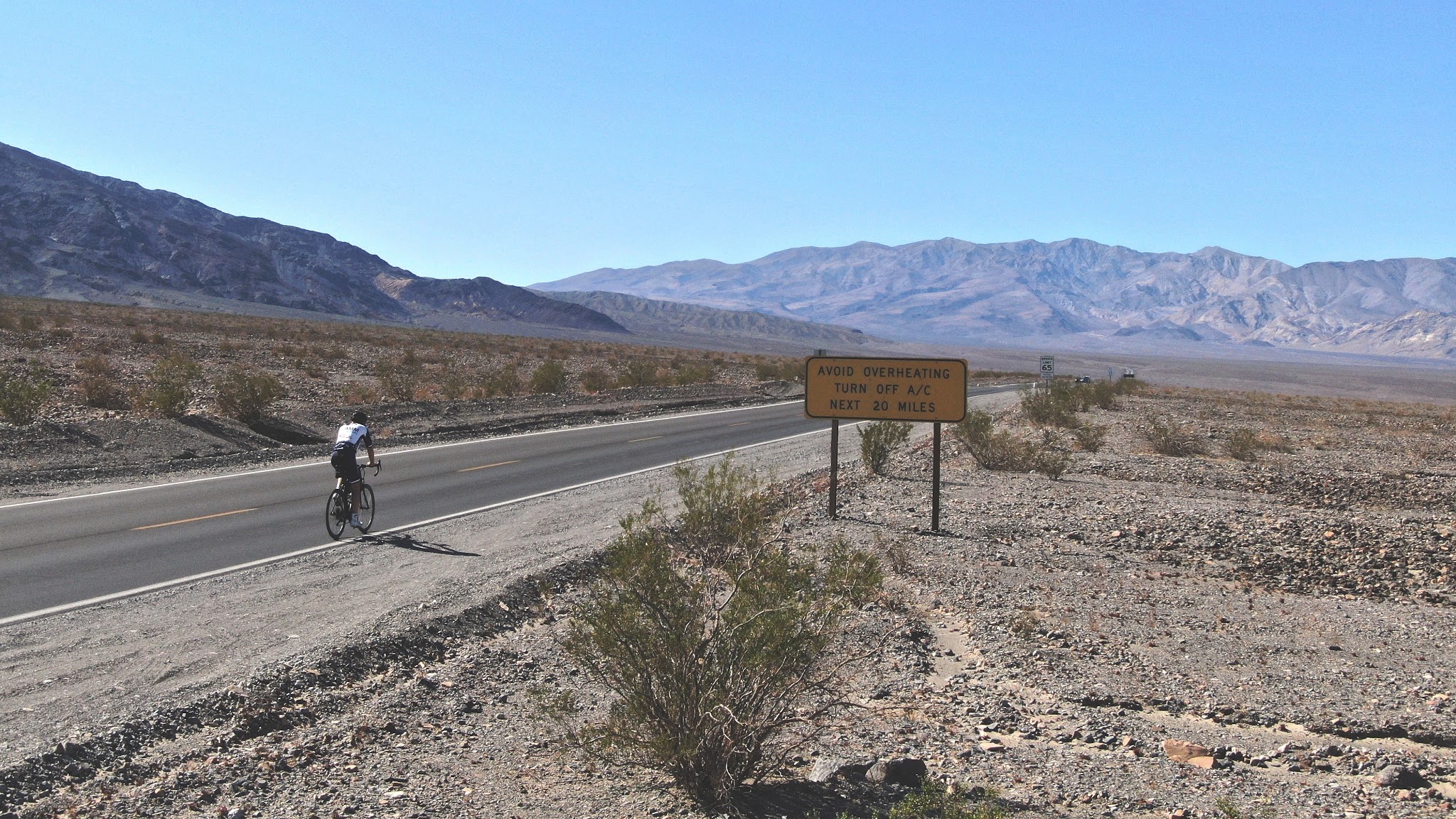
  bike climb Emigrant Pass, Death Valley National Park - turn off air conditioner sign

This sign greets us as we leave Stovepipe.

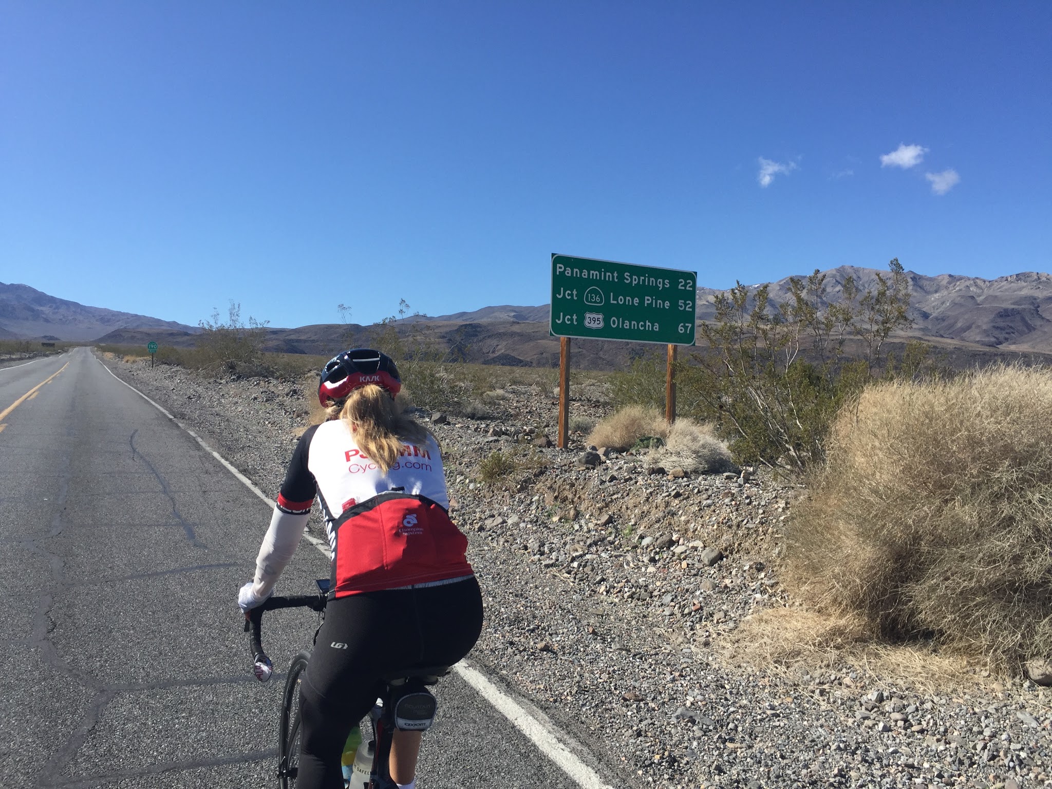
The first several miles of this bicycle climb seem almost flat and we are definitely in an arid, desert-like setting.

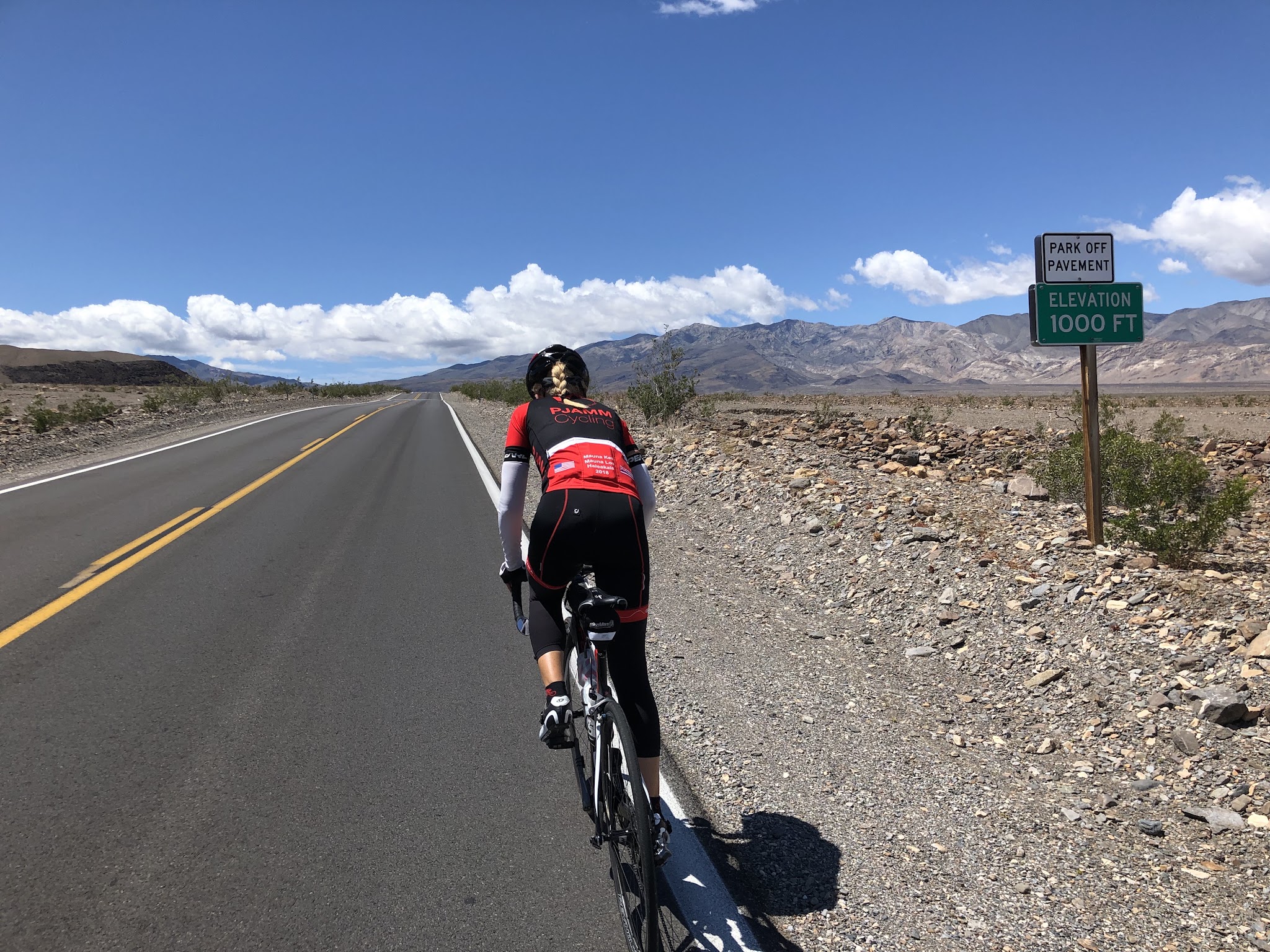
Climb Emigrant Pass, Death Valley by bike - cyclist on bike on Hwy 190 passing 1000' elevation sign

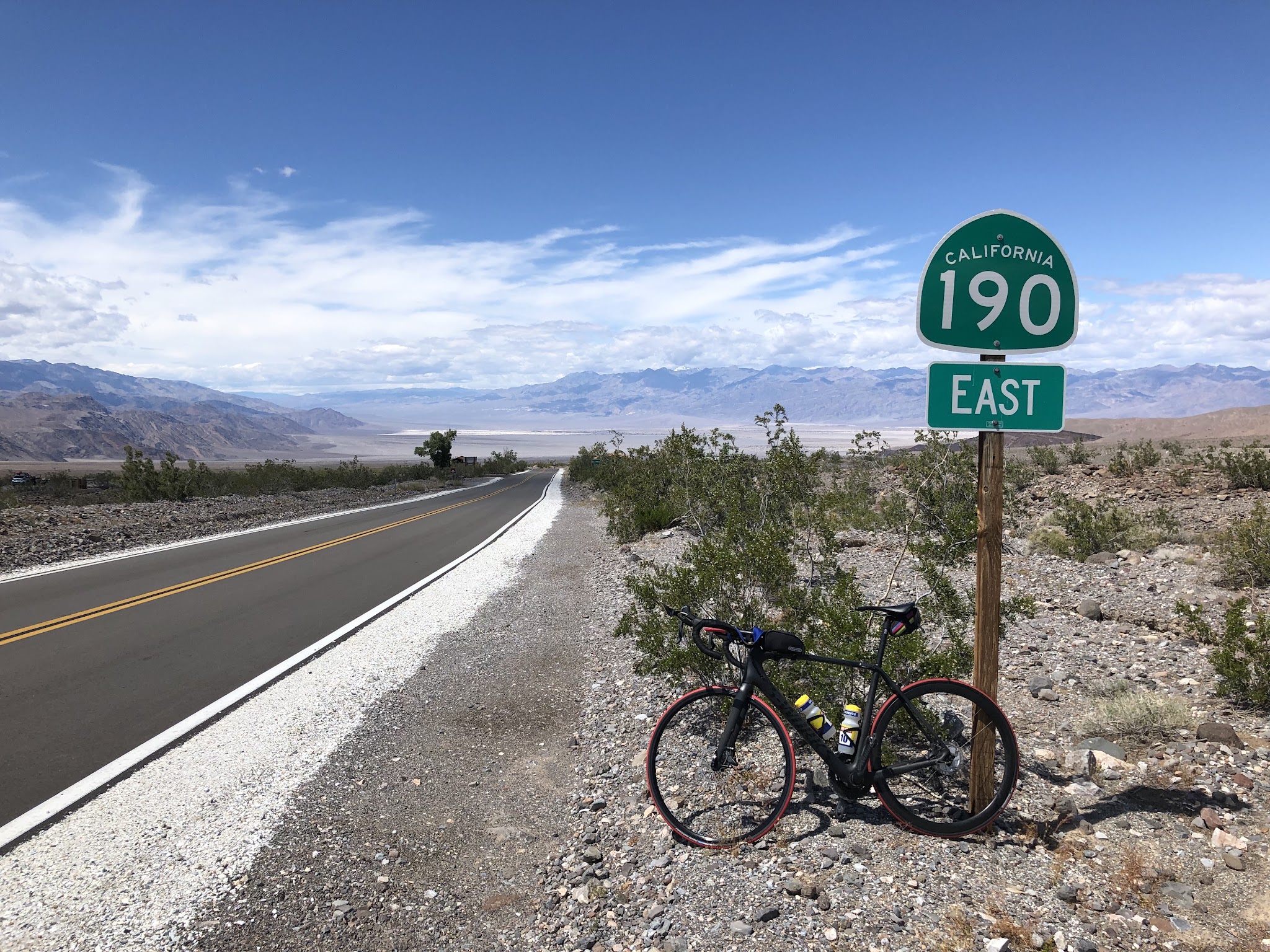
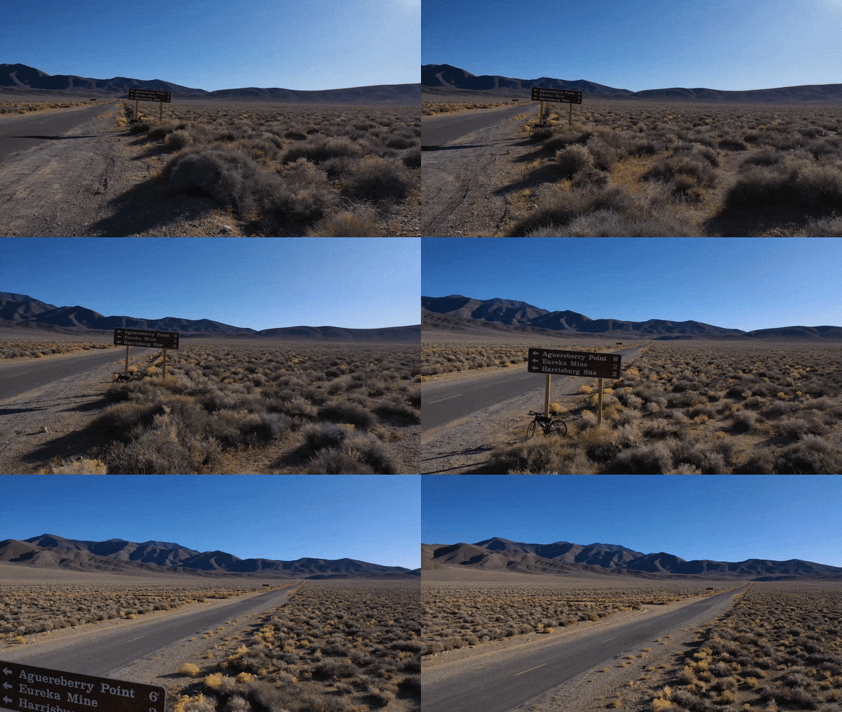
Bicycle ride Emigrant Pass, Death Valley  - bike leaning against Hwy 190 sign near road

Ride on Hwy 190 for the first 9.3 miles - share this segment with Towne Pass East.

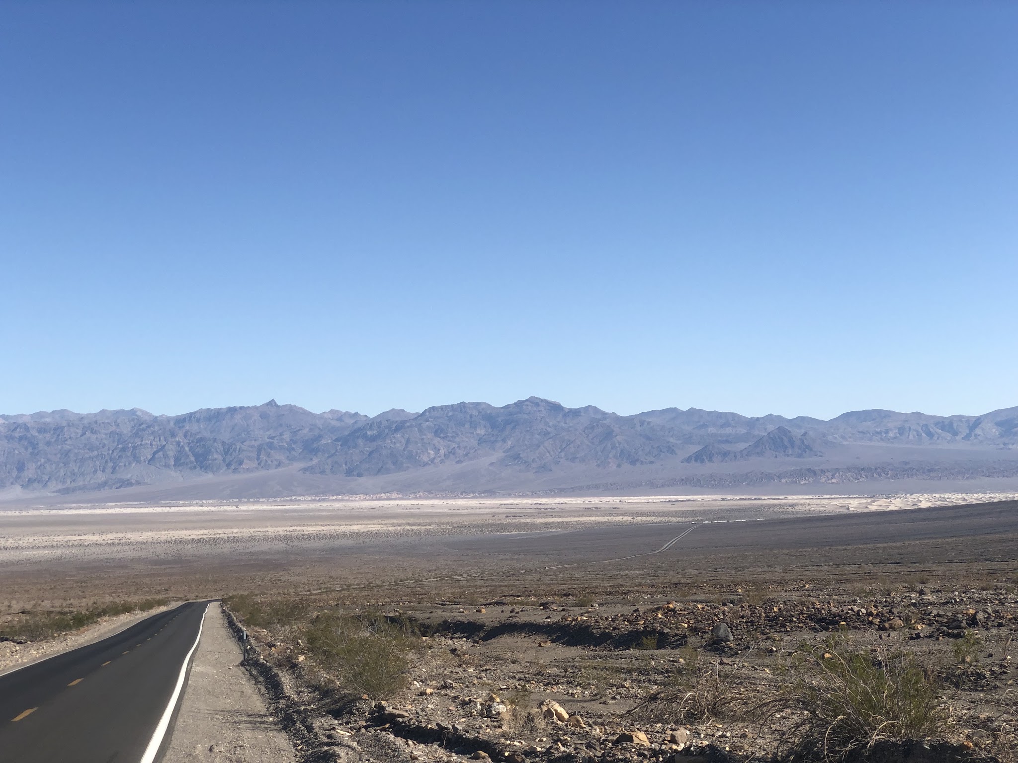
Stovepipe Wells is center right in photo (view east 4.6 miles from start)

Looking back down the mountain at mile 6

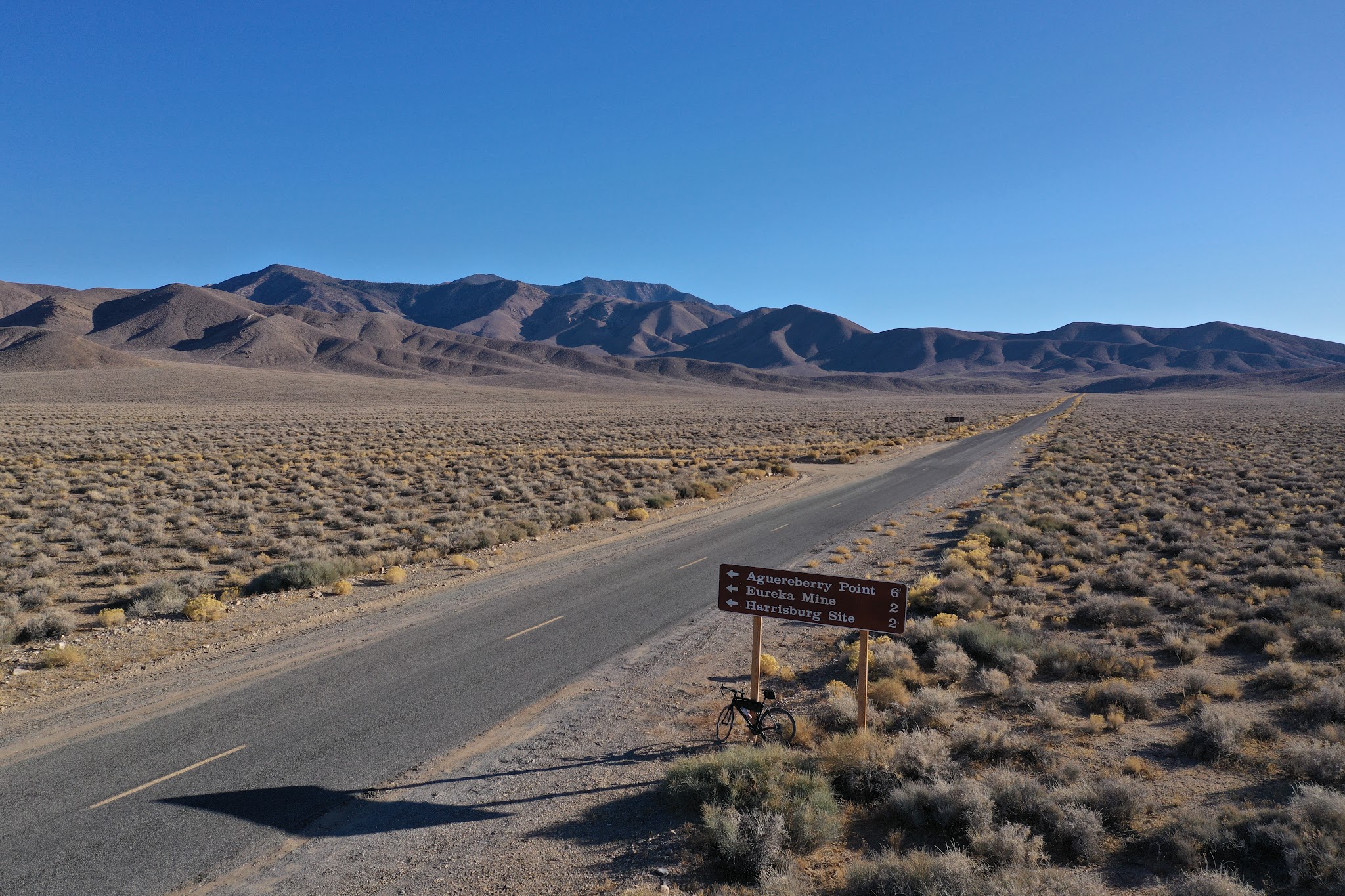
After riding 9.3 miles and just after passing Emigrant Campground, turn left onto Emigrant Canyon Road (9.3 miles at 4.5% average grade and 2,187' climbed to this point).  

Emigrant Campground - turn left off Hwy 190 onto Emigrant Canyon Road here.

The next 7.6 miles are initially through a canyon and then into open upper desert space to the end point at Emigrant Pass.

Classic case of “when it rains, it pours . . . “

Looking back towards Hwy 190 just over a mile up Emigrant Canyon

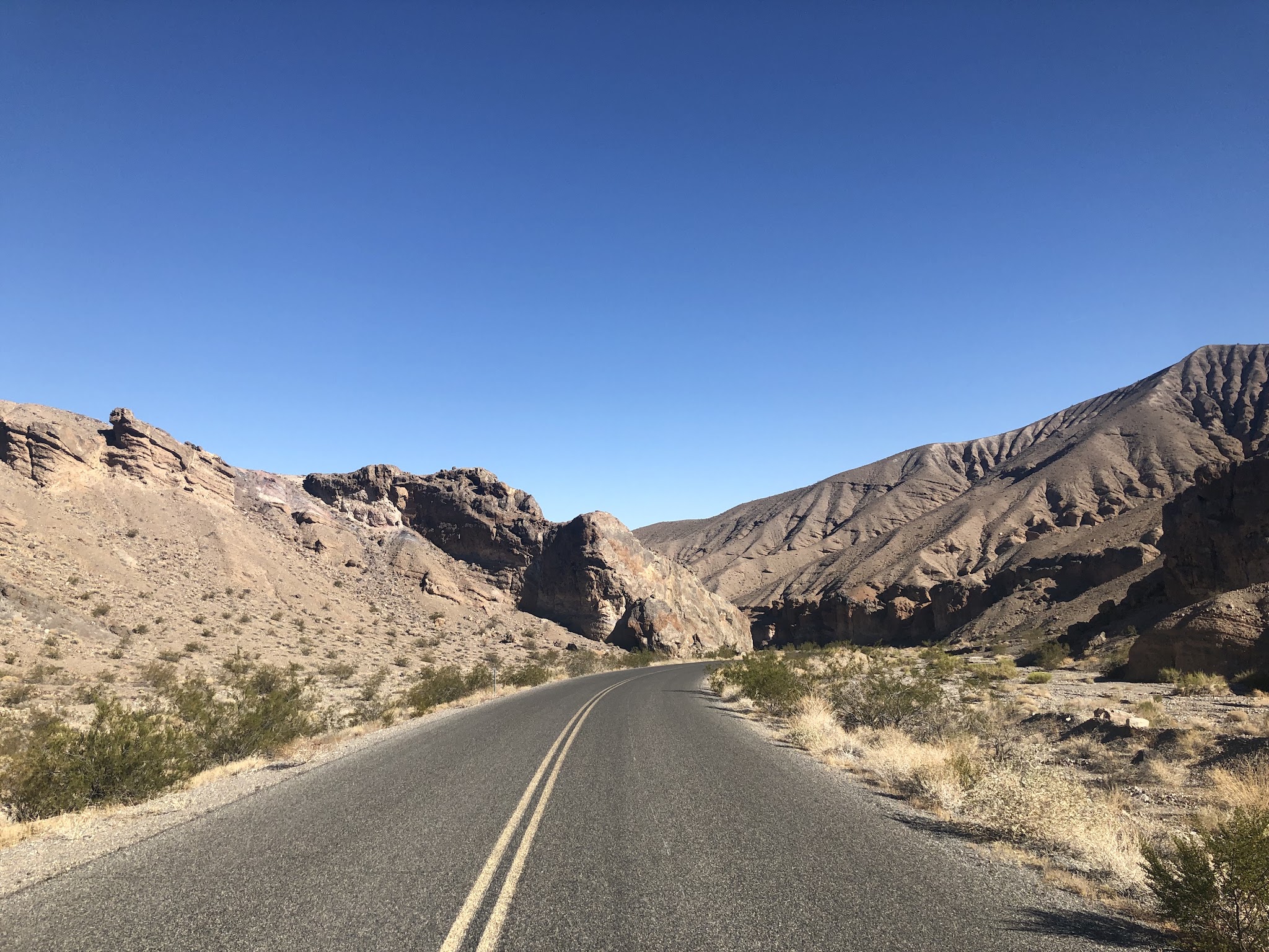
Bike ride Emigrant Pass, Death Valley National Park - canyon and road

Pass through a narrow and fun canyon for several miles 1 ½ miles after turning off Hwy 190

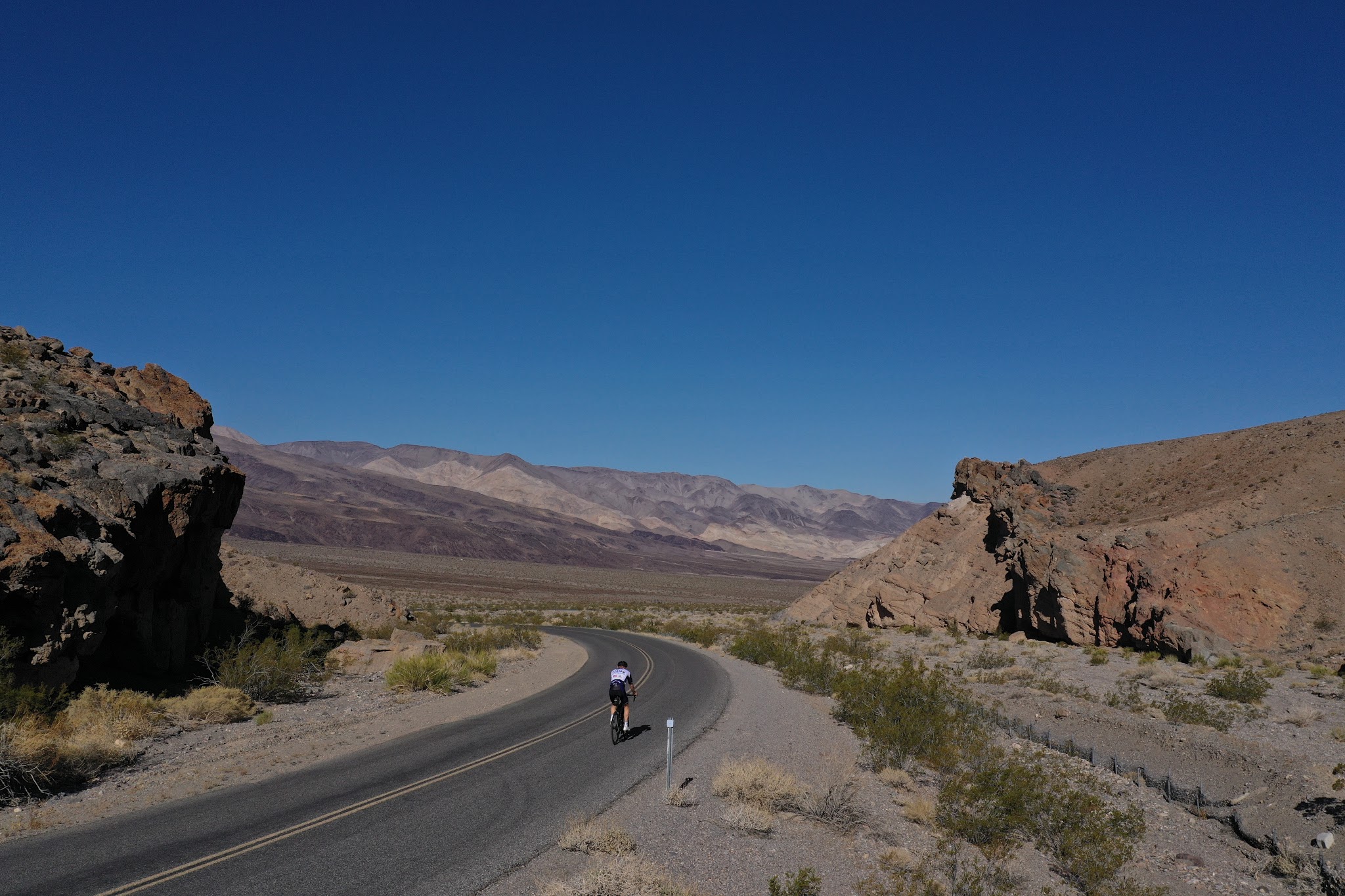
Riding in the canyon

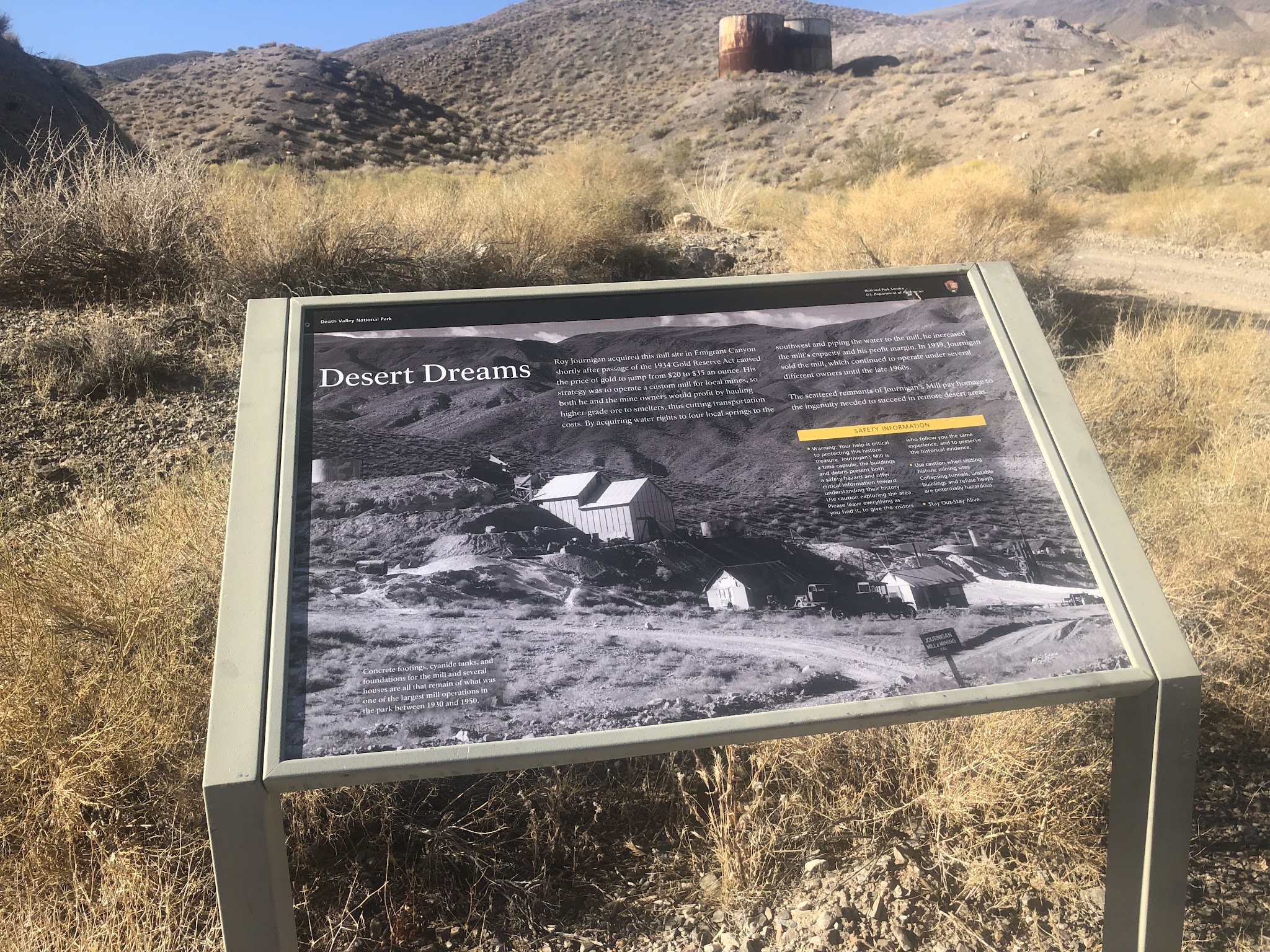
Journigan Mill

There is a 4 mile 1.5% average grade section during the last part of the climb.

The pass is in the foothills in photo background.

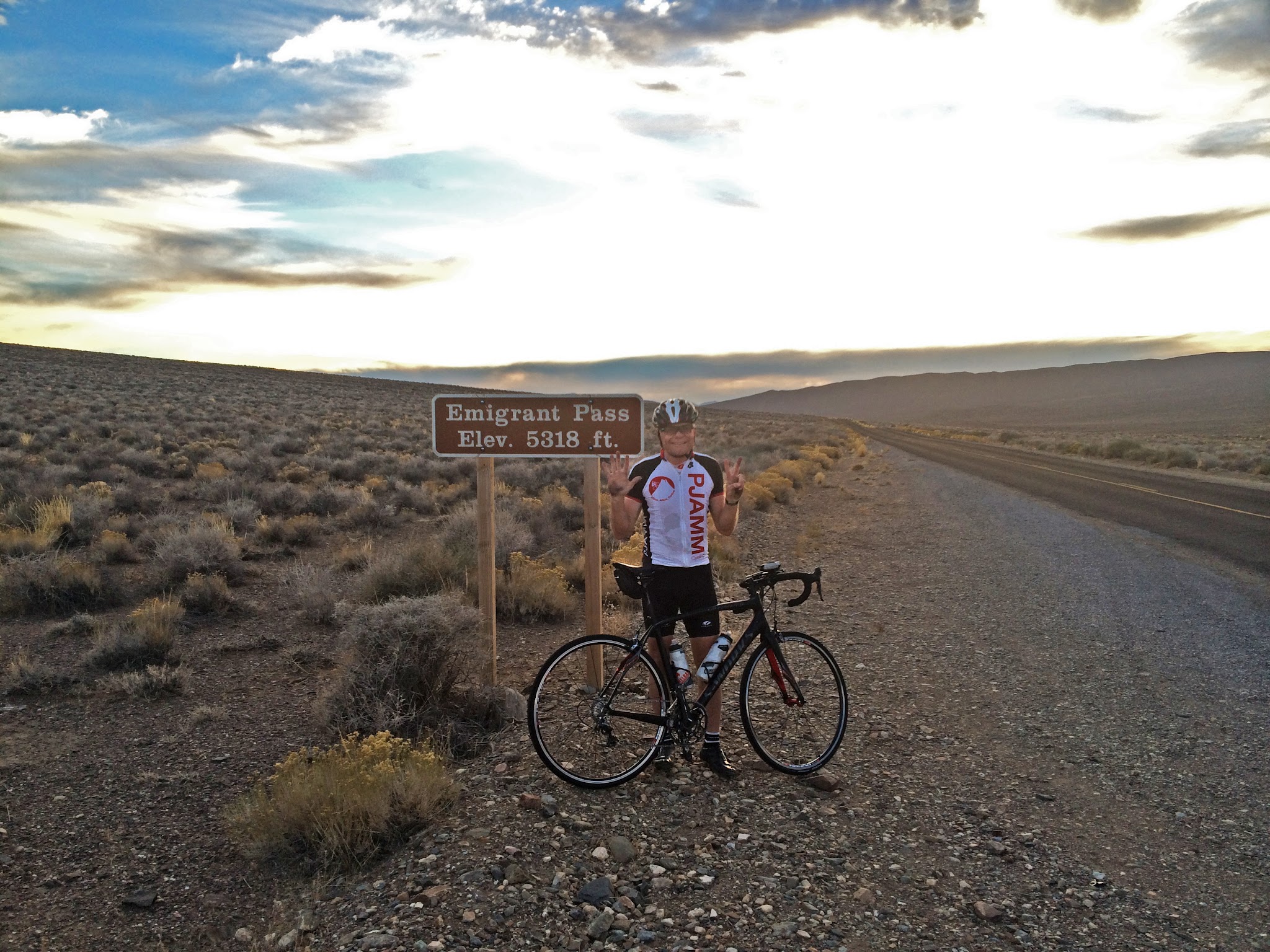
Bicycling Emigrant Pass, Death Valley National Park - cyclist next to summit sign near road

John at the summit 2014 - bring lights as a precaution when riding in the desert.

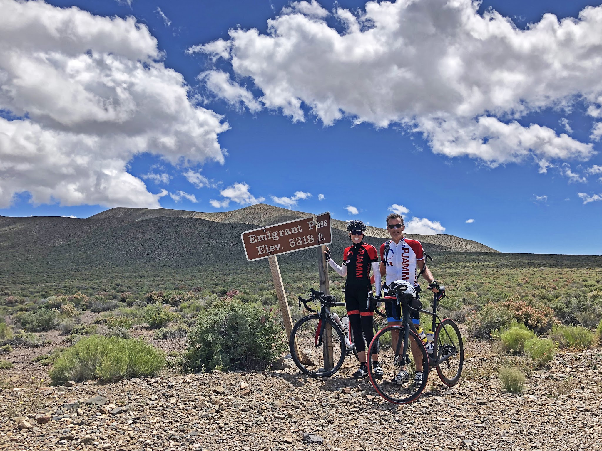
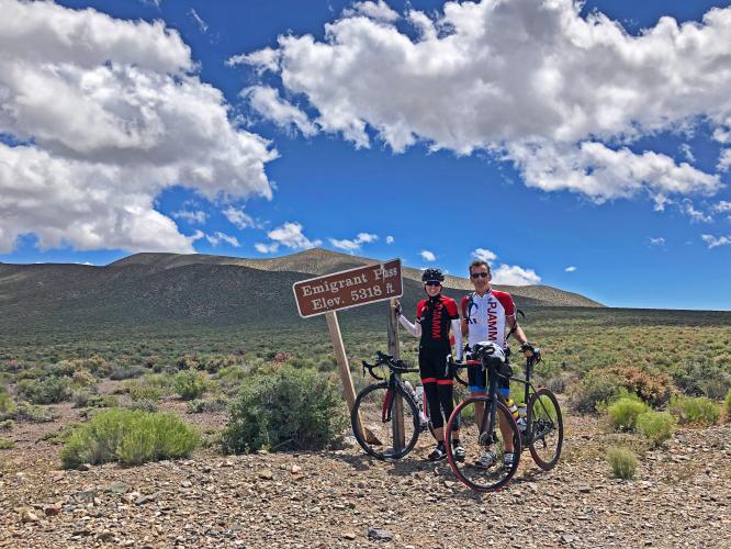
Cycling Emigrant Pass, Death Valley National Park - 2 cyclists with bikes next to summit sign

Stacy and Bruce early 2019.

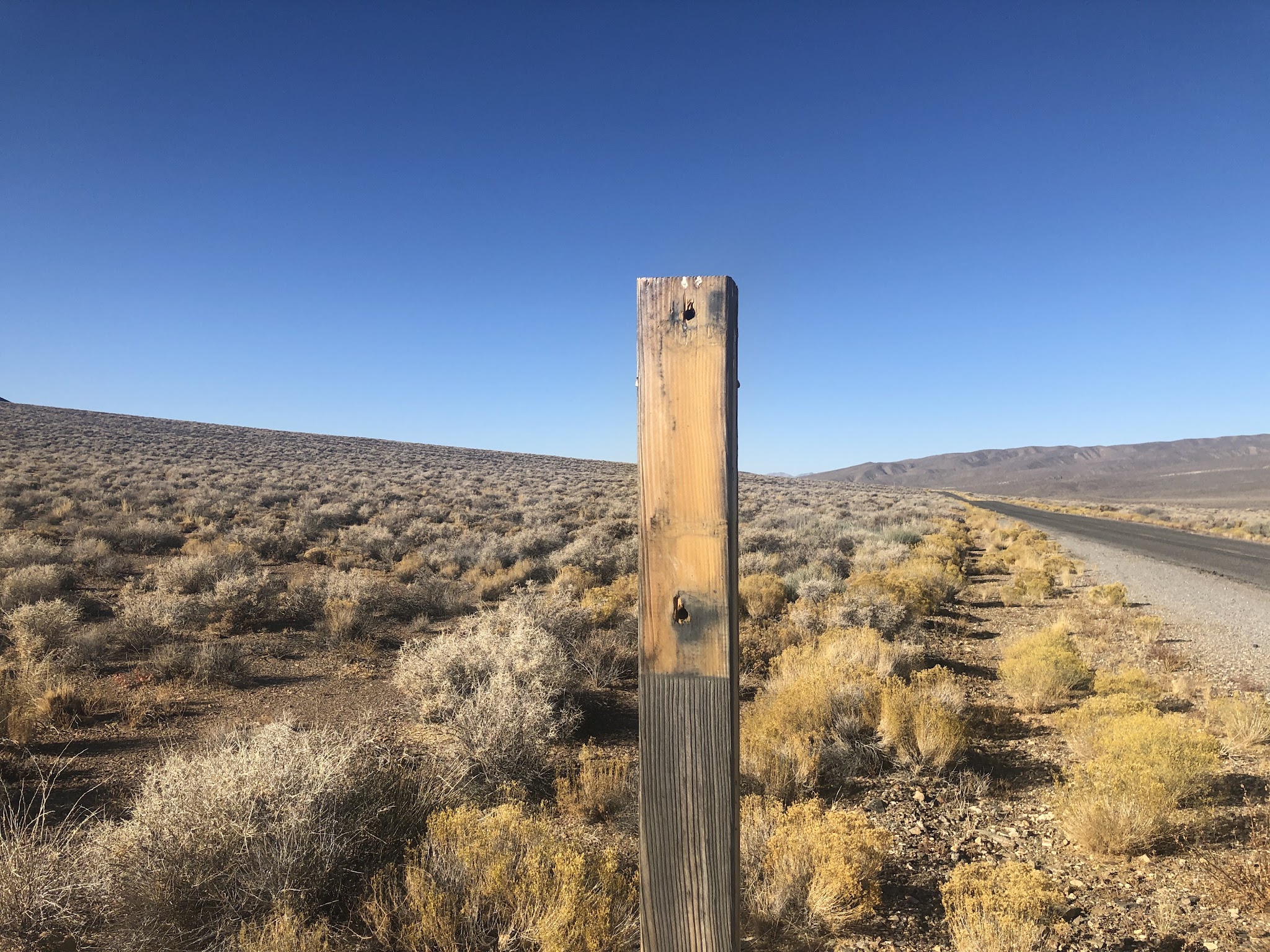
Summit September, 2019 . . . 😞

 Be careful on this one as there is no support anywhere along the climb and, while you will encounter traffic along Hwy 190 up to the Emigrant Canyon Road turn off, you may not see another soul after that.

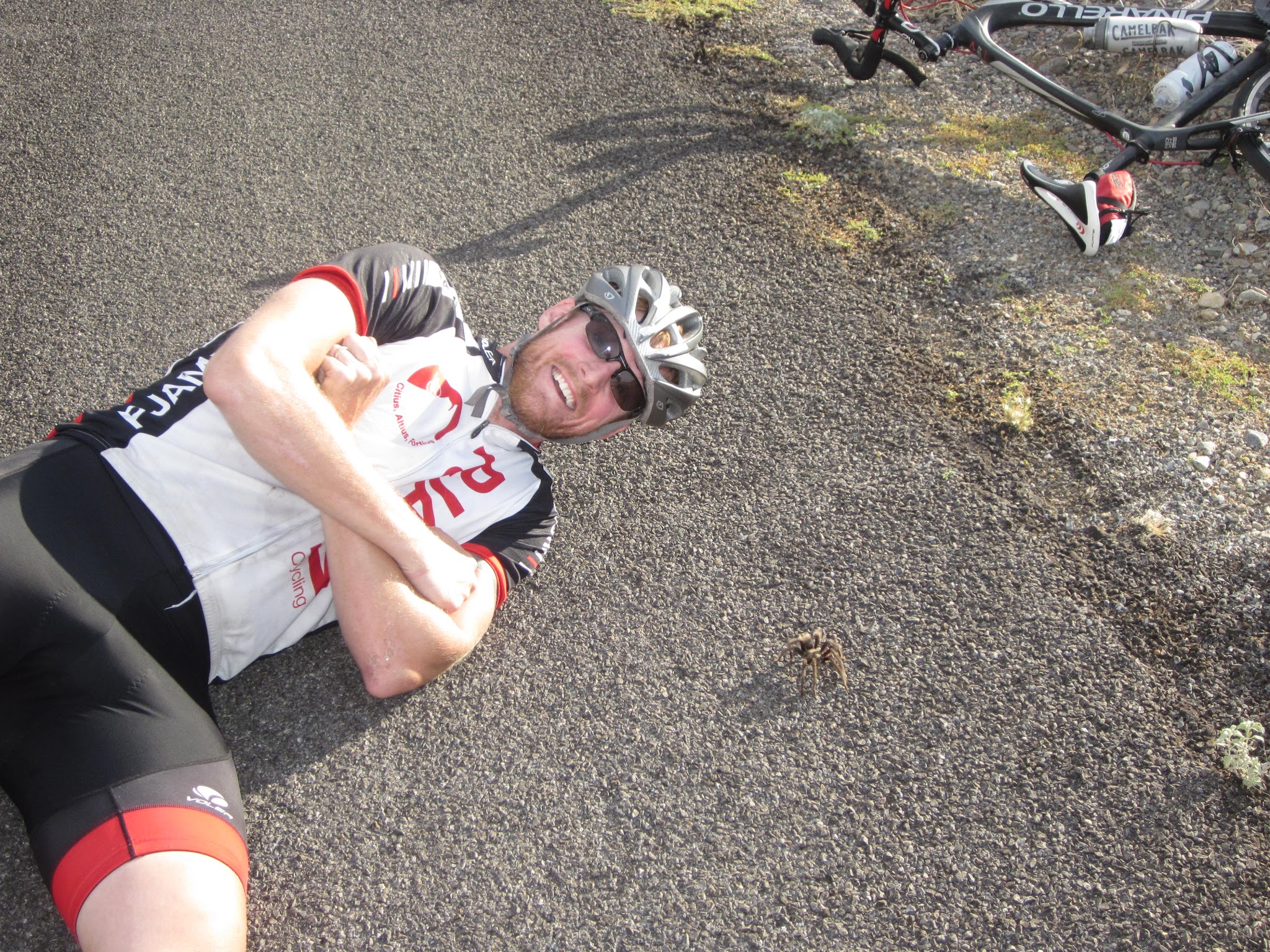
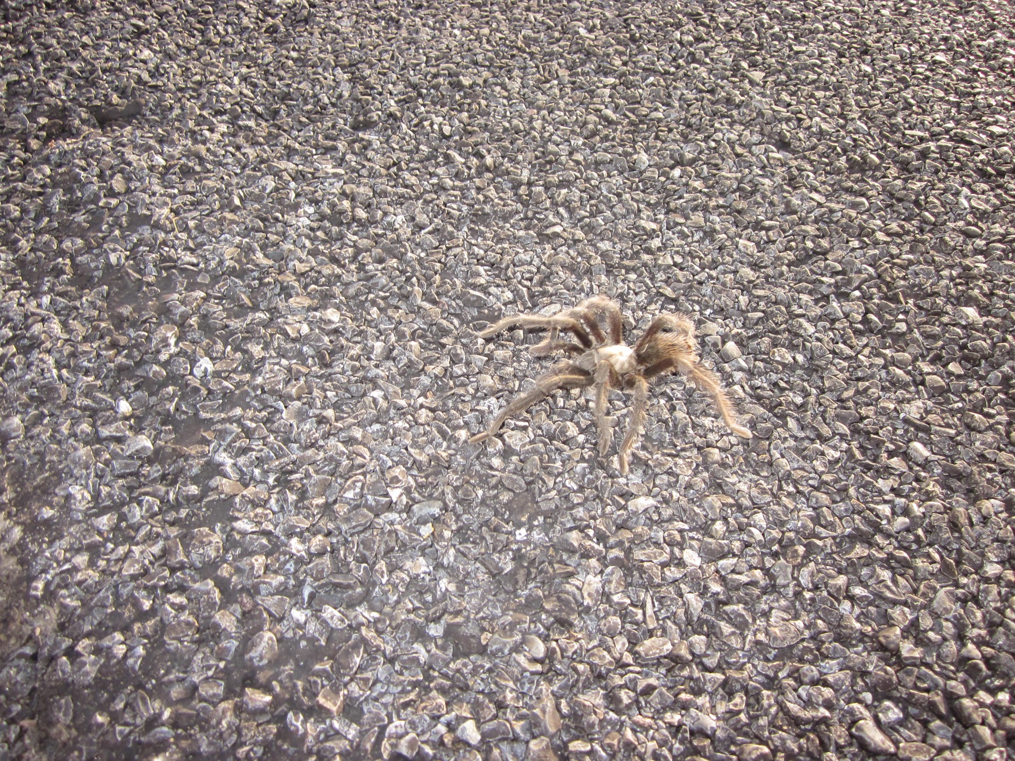
Bike climb Emigrant Pass, Death Valley National Park - cyclist on road next to tarantula

No way I am doing that Peter!

   IMG_2365.JPG

Spiders seriously creep me out!

We also saw a herd of mules and coyote along this climb.

Weather: Do NOT attempt these climbs in the summer when the average​ high temperatures range from 101-116 between May and September. (See Weather summary, below, for more details.
 

 Traffic and Roadway report:  As of October, 2014, the roadway surface was excellent throughout this ride but there is minimal to no shoulder and traffic can zoom by at highway speeds.   Traffic after the turn off at Emigrant Canyon Road is effectively nonexistent.

WHERE TO STAY IN DEATH VALLEY

We have entered Death Valley both from the west (via Lone Pine Whitney Portal and Horseshoe Meadows; 50 miles to Panamint Springs) and Las Vegas (Kyle Canyon and Lee Canyon; 140 miles to Furnace Creek).

There are 3 areas with hotels in Death Valley:

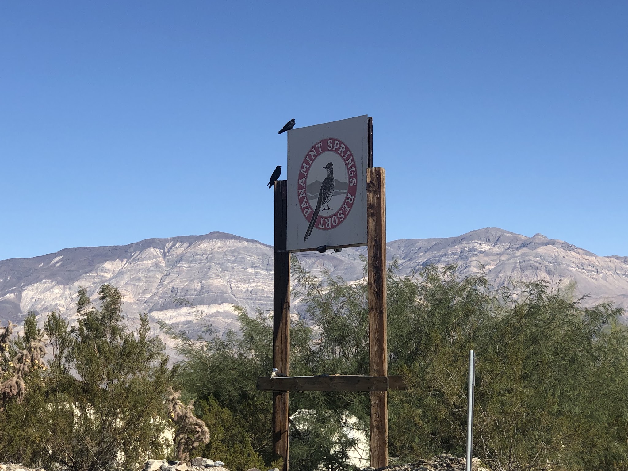
  • Panamint Springs - this is the closest hotel to the western entrance to Death Valley, which is near the southern part of the top world bike climbing area of Owens Valley. Panamint Springs is the most rustic, yet least expensive, accommodations in Death Valley.  We have stayed at the Panamint Springs “Resort” but do prefer Stovepipe Wells and The Ranch at Death Valley. Panamint has one restaurant, a sparse store, and a gas station.  

Sign at Panamint Springs Resort

The birds to the left are real . . .

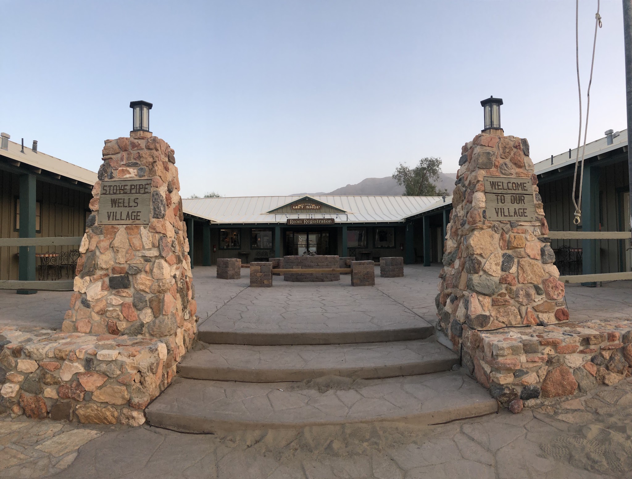
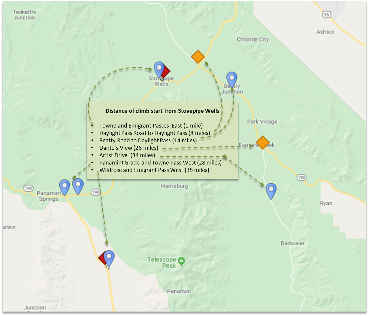
  • Stovepipe Wells (closest hotel to our climb) -  the Stovepipe Wells Village Hotel - this is our choice of places to stay in Death Valley for a couple of reasons.  First, it is less expensive than the 2 hotels in Furnace Creek, although a little more expensive than Panamint Springs.  Second, it is the hub for bike climbing in the valley - all climbs are within a 25 mile straight line radius of Stovepipe (see map, below).

Entrance to Stovepipe Wells Village Hotel

Cycling Death Valley - map with climbs in relation to Stovepipe Wells

Distance from Stovepipe Wells to all climbs.

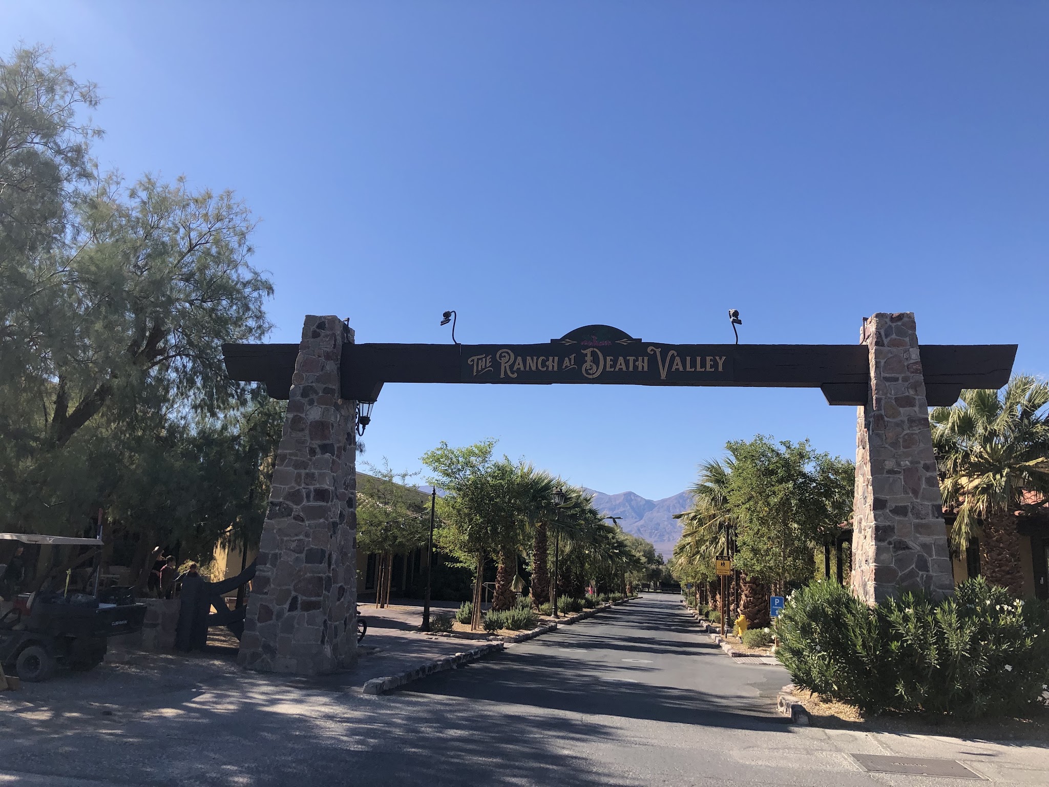
  • The Ranch at Death Valley (Furnace Creek) - If you don’t mind paying roughly $100 more for lodging and don’t mind driving a little further to your Death Valley bike climbs, this is a great place to stay.  The restaurant and store are better and the compound is very nice.  The Oasis at Death Valley is the most luxurious accommodations in Death Valley and if price is no object ($450-$500), stay there - it is just a mile from The Ranch at Death Valley (these 2 hotels are owned by the same company) - it is the Four Seasons of Death Valley - but, at a price - it is twice the cost of The Ranch and 3-4 times more than Panamint and Stovepipe.

Entrance to The Ranch at Death Valley

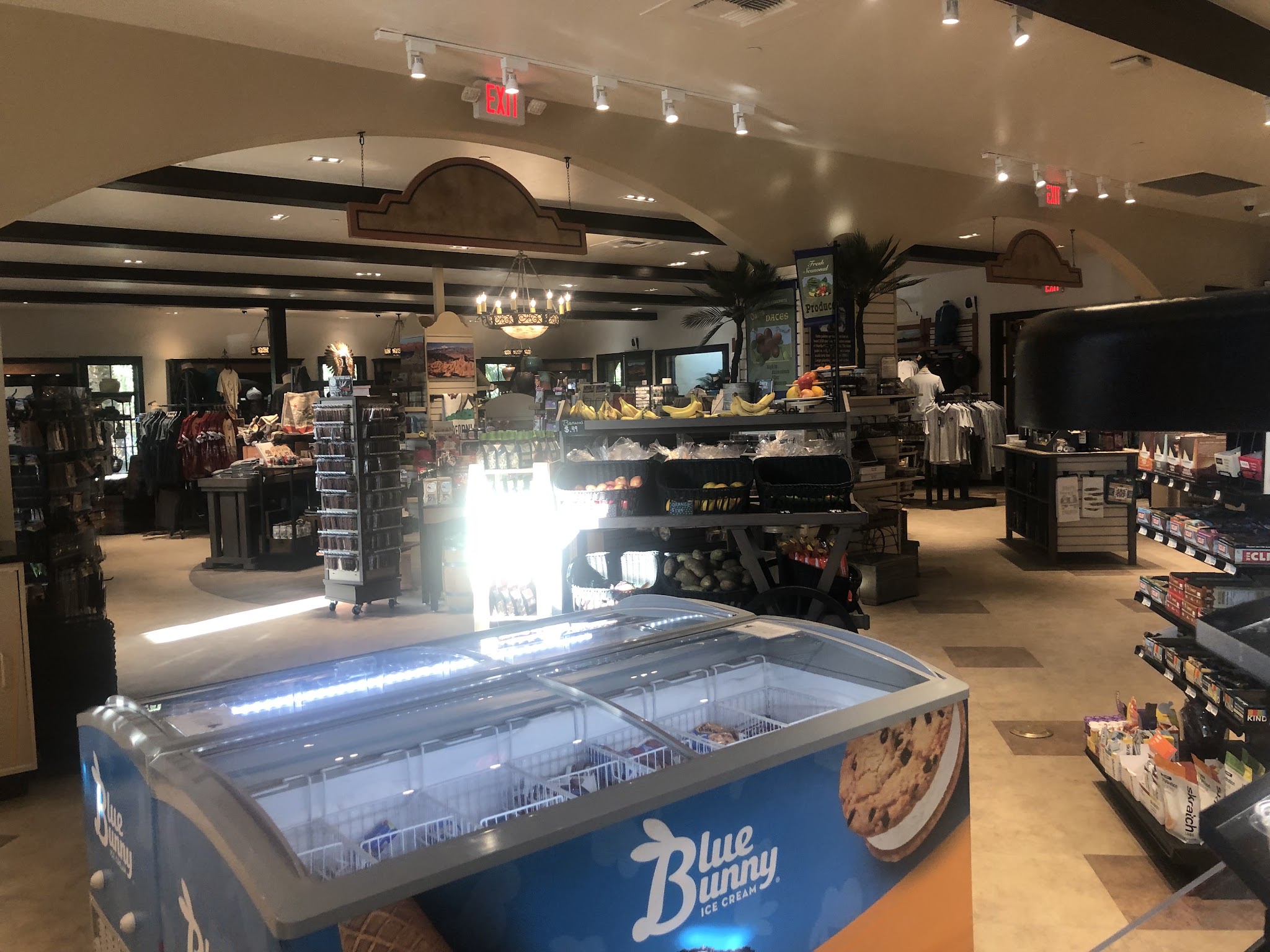
The Ranch at Death Valley has by far the nicest store in Death Valley

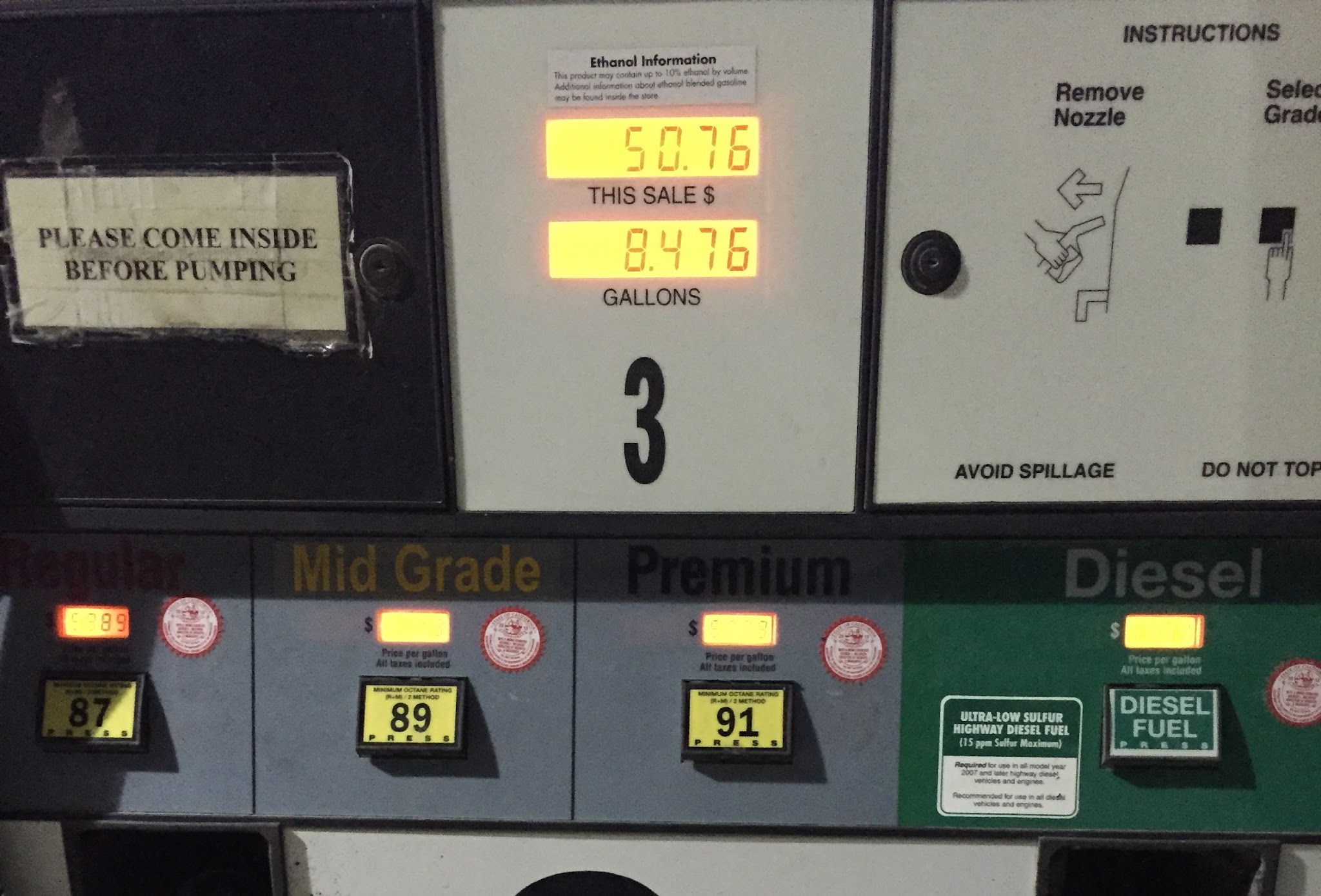
The only locations to get gas in Death Valley are at Panamint, Stovepipe and Furnace Creek - but, buyer beware:

The math on that is $5.99 per gallon (2014 prices; 2019 were slightly less)

DEATH VALLEY WEATHER

National Park Service Death Valley Weather Chart

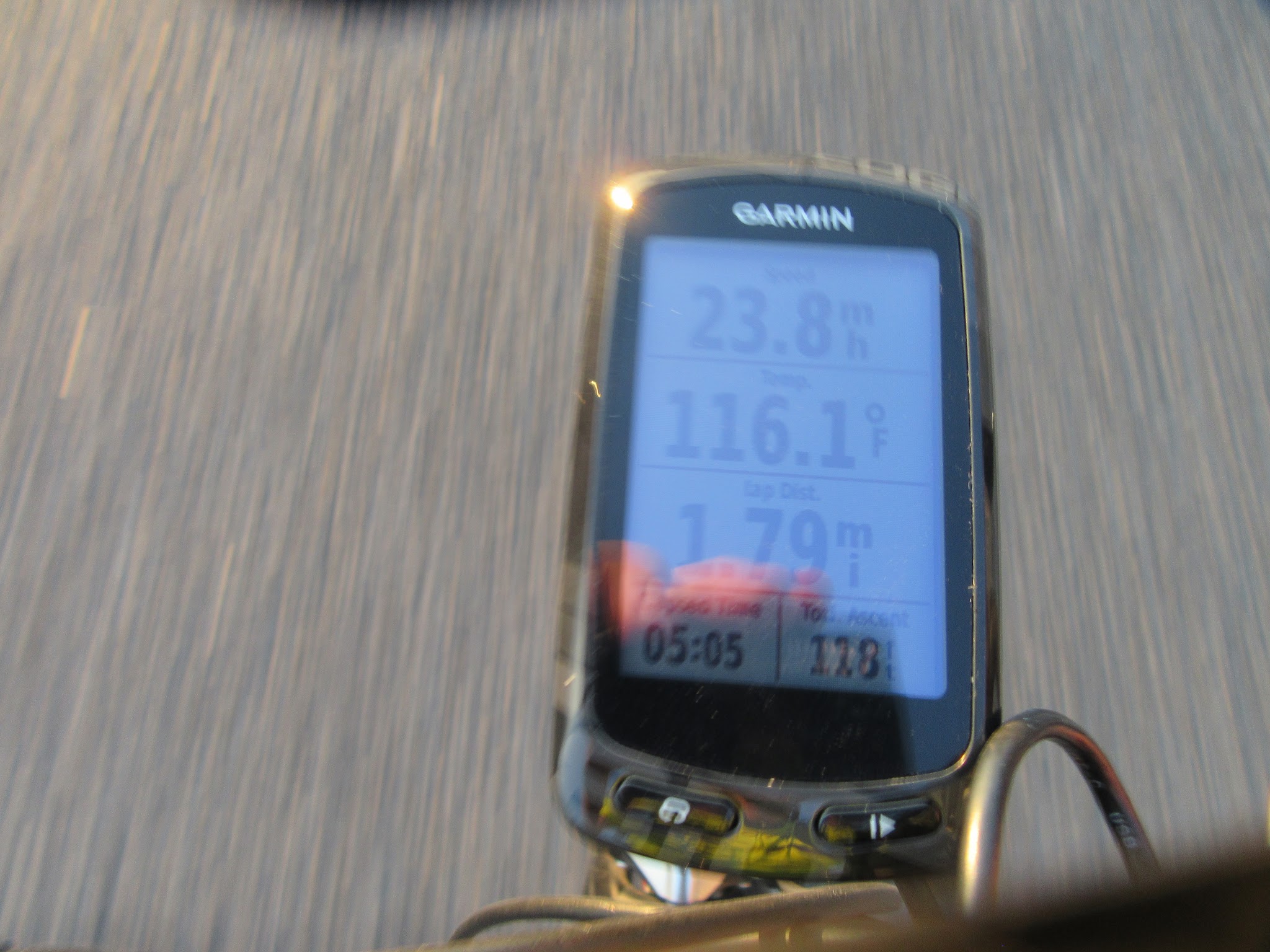
Dangerously hot during the day from June through September with average monthly highs during that time ranging from 106 to 116.5.  Cycling is not recommended during the summer and certainly never without good SAG support.  The heat can be stifling (if not truly dangerous) and supplies are few and far between - there are none anywhere on this route - no water, no nothin . . .  

The hottest temperature ever recorded on earth was in Furnace Creek on July 10, 1913 (134℉/56.7℃) and, while that record has been challenged, the “alternate” record is also held by Death Valley (2013 in a tie with Mitribah, Kuwait in 2016 at 129.2℉/54.0℃).

July 2017 - Badwater to Mt. Whitney Summit.

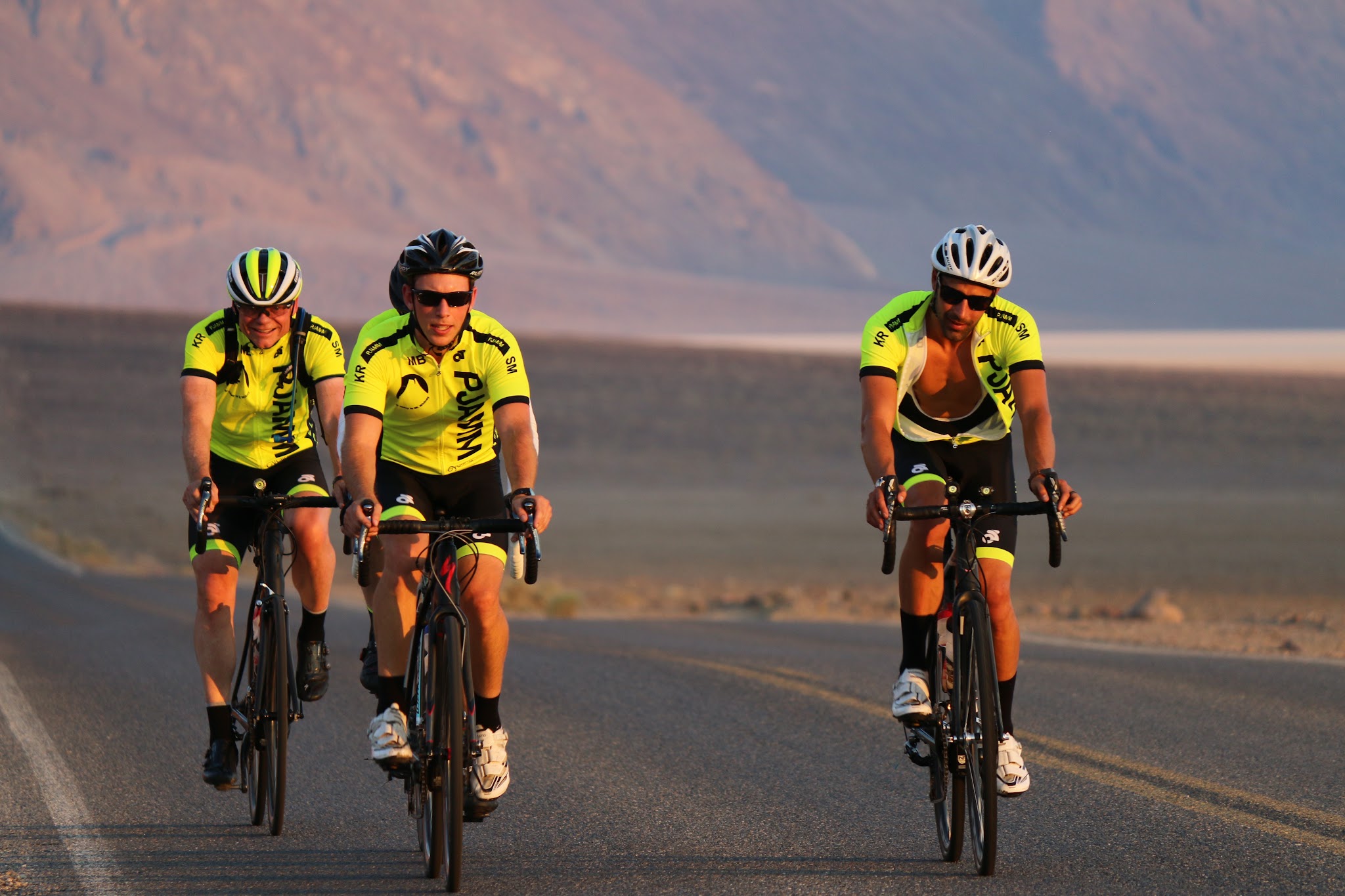
Cycling Death Valley - pjamm cycling ride bikes through death valley

O.K.!  I didn’t take my own advice in July, 2017  😨