35.6
PDI
17.7 mi
DISTANCE
5,922 ft
GAINED
6 %
AVG. GRADE
FULL CLIMB STATS
Page Contributor(s): Ard Oostra, Montreux, Switzerland
INTRO
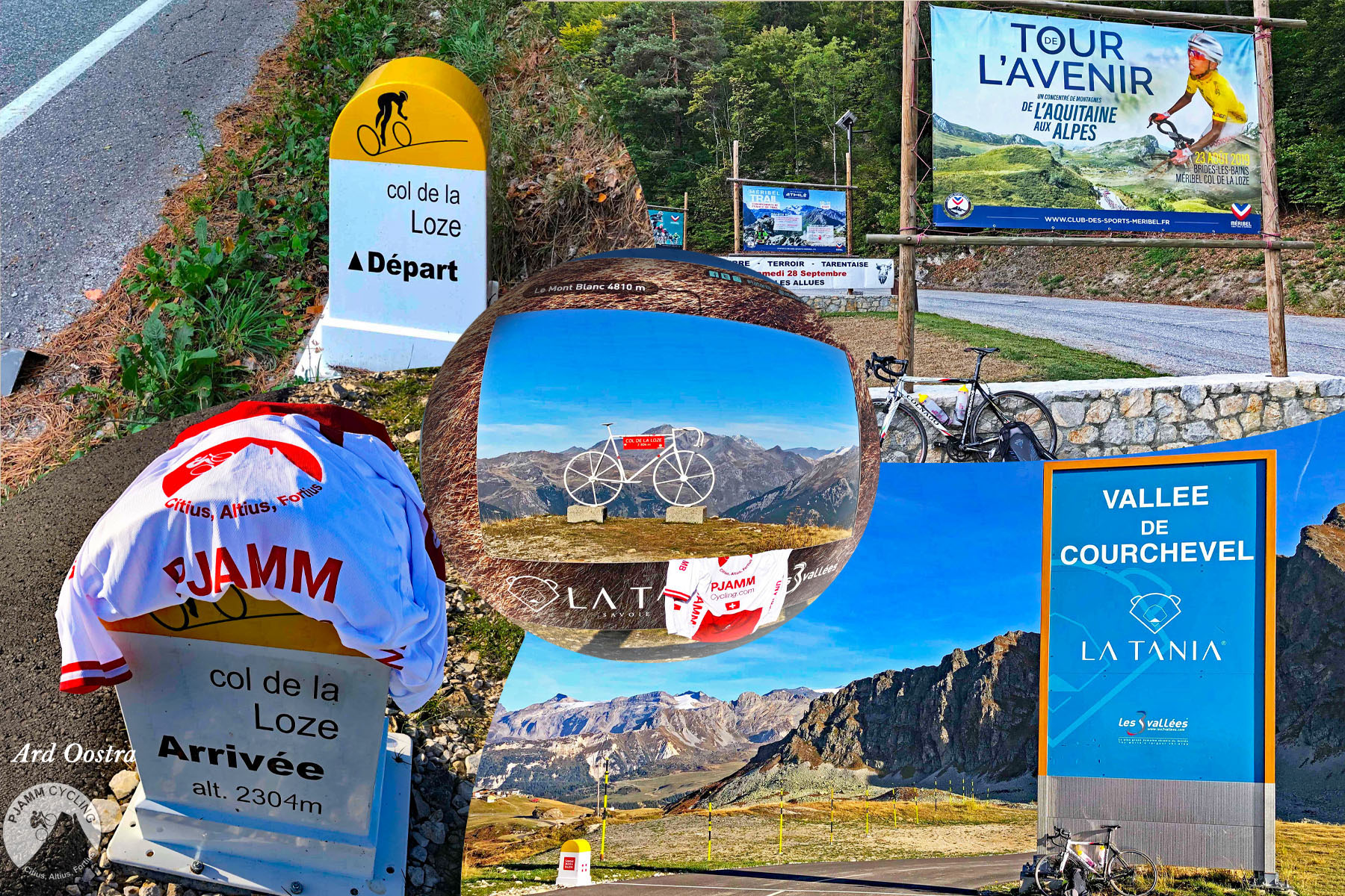
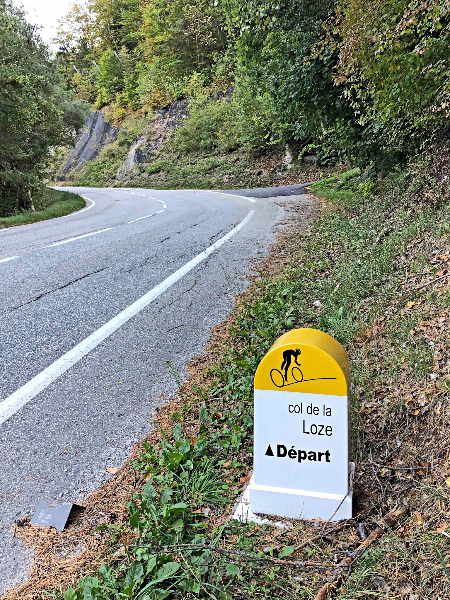
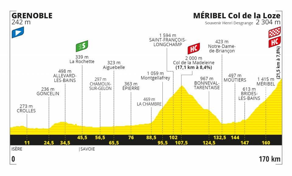
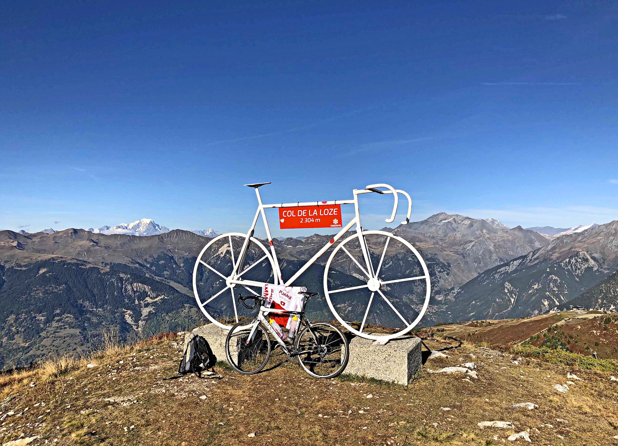
Col de la Loze is a 2,304-meter mountain pass in the Savoie region of the French Alps, connecting the ski resorts of Méribel and Courchevel in the Three Valleys. This route follows the course used for Stage 17 of the 2023 Tour de France, climbing 17.7 miles from the spa town of Brides-les-Bains to the summit, gaining roughly 5,922 feet at a 6.0% average grade.
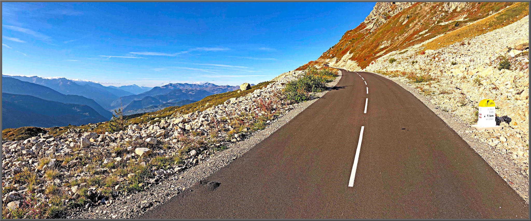
The climb's signature feature is its final stretch: the last several kilometers to the col follow a purpose-built cycling and pedestrian path completely closed to cars, opened in 2019 - one of the highest car-free paved climbs anywhere in the Alps. The route works its way up through forest and past the Méribel and Courchevel resort villages before breaking above the treeline onto exposed switchbacks with sweeping views over the Vanoise massif.
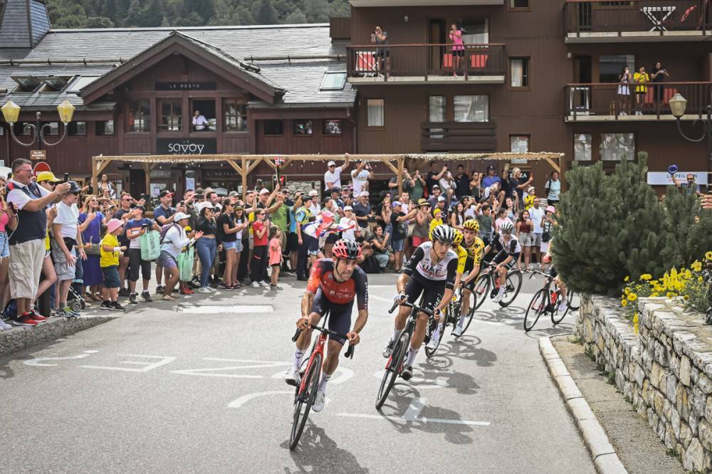
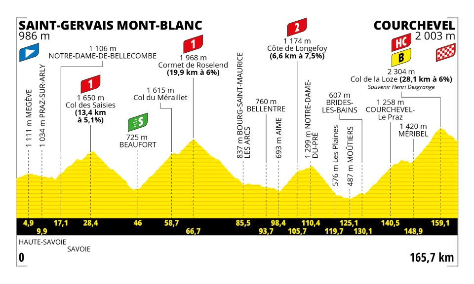
Col de la Loze made its Tour de France debut in 2020 (Stage 17, won by Miguel Ángel López) and returned for this 2023 edition, a mountain stage from Saint-Gervais Mont-Blanc to Courchevel. Austria's Felix Gall won the stage while Jonas Vingegaard put time into Tadej Pogačar on the mountain's steep, irregular pitches, a stage widely seen as a turning point in that year's overall race.
PLAN YOUR ROUTE
 We've partnered with Sherpa-Map.com to bring you the best route planning tool. With a PRO Membership you can use this climb as a reference when creating your route.
 This route climbs 17.7 miles from Brides-les-Bains to the summit of Col de la Loze, gaining about 5,922 feet at a 6.0% average grade - but the average undersells it. The gradient is wildly irregular: flatter valley miles and false-flat stretches through the resort villages are offset by brutal ramps higher up. The steepest quarter-mile averages 13.3%, and the steepest mile comes in at 11.6%.
The hardest ground is in the final kilometers on the car-free path above Méribel and Courchevel, where independently published route profiles report short ramps well into the high teens and past 20% in places. Expect a climb that never lets you settle into a steady rhythm for long.
Roadway: The lower and middle sections are normal paved mountain road serving the Méribel and Courchevel resorts, in good condition. The final several kilometers to the summit follow a dedicated, smoothly paved cycling and pedestrian path built in 2019 and closed to cars entirely, aside from occasional service vehicles.
Traffic: Valley and resort-access roads see light to moderate summer traffic, heavier in July around events like the Col de la Loze Challenge. The upper car-free path has no vehicle traffic at all, though it does see walkers and hikers, especially near the summit, so ride with awareness of pedestrians on that stretch.
Parking: Brides-les-Bains has several public parking areas in and around its town center near the start of the climb. Riders can also start from village parking in Méribel or Courchevel for a shorter route up to the car-free summit section.
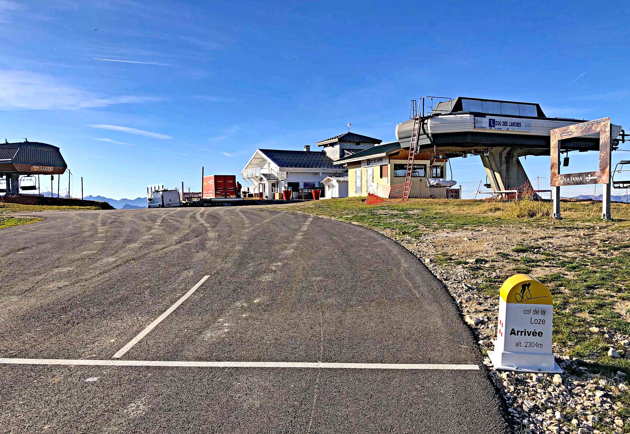
Water, food, and bike shops are available in Brides-les-Bains at the start and again in the Méribel and Courchevel resort villages partway up, but there's nothing on the final car-free stretch to the summit, so top off before that last push. The summit sits at 2,304 m (7,559 ft) and is fully exposed, so pack a wind layer even on a warm summer day - it can be significantly colder and windier up top than it is in the valley. A wide-range compact or triple setup is worth having given how irregular the gradient gets on the upper ramps.
Before heading out on any cycling adventure check out our Things to Bring on a Cycling Trip and use our interactive check list to ensure you don't forget anything.
Col de la Loze sits in the heart of the Three Valleys, France's largest ski area, so there's no shortage of lodging and dining in Brides-les-Bains, Méribel, and Courchevel to base a cycling trip around. It also pairs naturally with other big Savoie climbs nearby, including Col de la Madeleine and the various approaches to Courchevel and Méribel - our Routes in the Area tool is a good way to see what else is close by and worth combining into a longer trip. Summer is the season to ride it; the upper path typically isn't cleared and open until early summer and can close again with the first autumn snow, so check current conditions before planning a visit outside July or August.
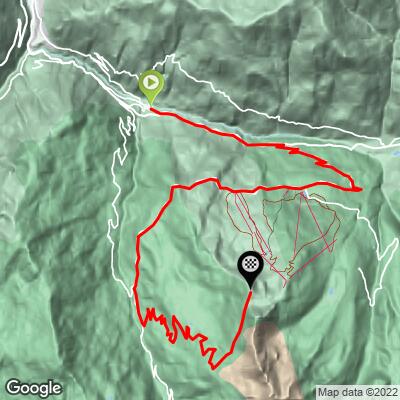
ROUTE MAP
MEMBER RATING
CURRENT WEATHER
PJAMM TRIPS ADVENTURE STARTER BUNDLES
Check out PJAMM Adventure's prepackaged (self-guided) cycling trips. They will help you plan, document and conquer your next adventure.
NEARBY CLIMBS (0) RADIAL PROXIMITY
FROM No Climbs Found
MEMBER REVIEWS & COMMENTS
Let us know what you thought of this climb. Signup for our FREE membership to write a review or post a comment.
Already have an account?
LOG IN HERE