Col de la Croix de Fer north Bike Climb - PJAMM Cycling

34.2
PDI
14.4 mi
DISTANCE
5,277 ft
GAINED
6.9 %
AVG. GRADE

FULL CLIMB STATS

INTRO

The north approach to the Col de la Croix de Fer begins in Saint-Étienne-de-Cuines, in the Maurienne Valley near the climbing hub of Saint-Jean-de-Maurienne, France. It's 14.4 miles and 5,277' of gain at a 6.9% average grade to the 6,312' summit and its namesake iron cross - the hardest of the pass's three approaches.

That difficulty comes from sharing its entire route with Col du Glandon- East (12.1 miles, 5,000'), then continuing another 1.8 miles/492'/5.3% past that col to the true summit. The lower slopes are forested before opening above the tree line into alpine meadows, with old cement kilometer markers along the road and the Aiguilles d'Arves visible near the top.

Croix de Fer has appeared in the Tour de France more than 20 times since 1947 - most famously in 1986, when Bernard Hinault and Greg LeMond crossed its summit together mid-duel for that year's yellow jersey - and it was back on the route in 2026's mountain stage to Alpe d'Huez.

PLAN YOUR ROUTE

We've partnered with Sherpa-Map.com to bring you the best route planning tool. With a PRO Membership you can use this climb as a reference when creating your route.
6.9% average grade (7.3% climb only).  The bulk of this climb (68%) is in the 5-10% gradient range while 12% is at 10-15%. The steepest 500 meters is 11.7% at kilometer 11.2%.

See more details and tools regarding this climb's grade via the “Profile Tool” button.


Roadway:  The first 1.8 kilometers are on a narrow, residential stretch of D927 through Saint-Etienne-de-Cuines, and the next 18.6 kilometers continue on D927 through rural, agricultural terrain. The roadway is in fair to good condition and never has a shoulder. The final three kilometers run on good pavement above a shallow canyon in a remote, high-alpine setting to one of the great French cycling finishes. Like the other high passes in this area, the road is gated and closed at the first significant snowfall (typically by early November) and doesn't reopen until late May.

Traffic:  Mild - a quiet valley road rather than a through-route, though expect more cars near the Col du Glandon and Croix de Fer summits on summer weekends.

Parking: There are open spaces to park along D927, about 400 meters northeast of the climb start (MapStreet View). 
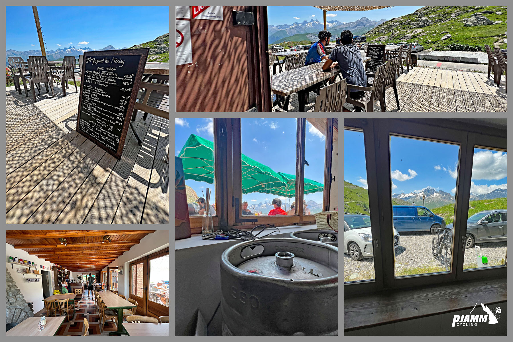
Provisions:  There are several places to eat and drink along the climb - Chalet Col du Glandon (Google Map + Reviews) at kilometer 20.3 before beginning up to the Col de la Croix de Fer.  At the summit is Bar Restaurant Croix de la Fer - Google Map + Reviews.  Both are seasonal, open roughly mid-June through mid-September while the pass itself is open - don't count on either outside summer.
Before heading out on any cycling adventure check out our Things to Bring on a Cycling Trip and use our interactive check list to ensure you don't forget anything.
Visit our Saint-Jean-de-Maurienne, France and Le Bourg-d'Oisans, France climb area pages - both are outstanding hubs for cycling many of the most famous bike climbs in the world. 

Also, use the “Routes in Area” button on the menu bar to see other bike climbs in this area. 

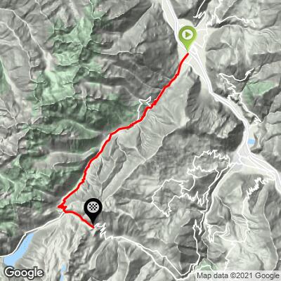
ROUTE MAP
MEMBER RATING

Difficulty: Strenuous
4/5
Road
4/5
Traffic
4/5
Scenery

CURRENT WEATHER

PJAMM TRIPS ADVENTURE STARTER BUNDLES

Check out PJAMM Adventure's prepackaged (self-guided) cycling trips. They will help you plan, document and conquer your next adventure.
ALL TRIPS
Browse all of our prepackaged trips and find your next adventure!

NEARBY CLIMBS (0) RADIAL PROXIMITY

FROM
No Climbs Found

MEMBER REVIEWS & COMMENTS

Let us know what you thought of this climb. Signup for our FREE membership to write a review or post a comment.
Already have an account?

Aug 29, 2021
difficulty: Strenuous
scenery: 4
traffic: 4
road: 4
Aug 29, 2021
scenery: 4
traffic: 4
road: 4
We did this as the second part of Col de Glandon East. From the summit of Glandon, Croix de Fer North is an easy 2.4 km. There was much less traffic on this section than the Glandon section...so see our posting of Glandon East. It is definitely worth riding up the extra bit to the top for the additional views and to complete the challenge. The descent from both peaks is fun with the hairpins and the very good road condition. Just don't do it on the weekend!!
ROUTE MAP
PROFILE TOOL
Route Data
S.G. (%)
hide
Segment Data
hide
CLIMB SUMMARY

Cycling Col de la Croix de Fer North (Saint-Étienne-de-Cuines)

Ride 23 kilometers gaining 1609 meters at 6.9% average grade.

This col has significant notoriety in the cycling world because it has been featured several times in the Tour de France (19 times between 1947-2022)

The Col de la Croix de Fer is a high mountain pass located in the French Alps, specifically in the department of Savoie in the Auvergne-Rhône-Alpes region.

Col de la Croix de Fer from the east and west completely follows the same route as Col du Glandon but for the last 2.5 kilometers at 5.3% average grade.  Both are famed climbs which have been included in the Tour de France many times.

 Here are the basic statistics for the three Croix de Fer climbs, together with the overlap information for Col du Glandon:

  • Col du Glandon West (Le Verney):  29 kilometers gaining 1363 meters at 4.1% (5.6% climb only; all overlapping Croix de Fer West).
  • Col de la Croix de Fer North (Saint-Étienne-de-Cuines):  23.2 kilometers gaining 1609 meters at 6.9%.
  • Col du Glandon East (Saint-Étienne-de-Cuines): 20.2 kilometers  gaining 1,461 meters at 7.3% (all overlapping Croix de fer North).

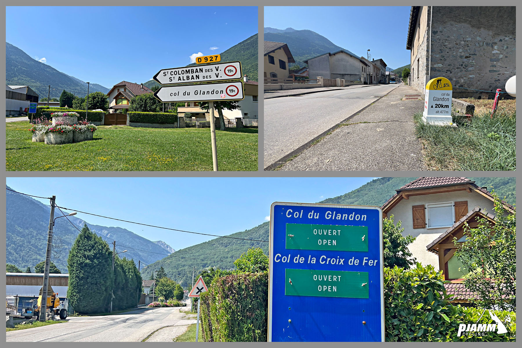
The Croix de Fer northern approach begins in Saint-Étienne-de-Cuines (population 1,208 as of 20202) and is situated in the Maurienne Valley which is in one of the greatest cycling climbing areas of the world (see, PJAMM Cycling Saint Jean de Maurienne Climb Area page). The climb passes through several villages over its 20 kilometers until reaching the col at 1,924 m (6,312’). As with nearly all the climbs in this area, the roadway is generally one wide or two narrow lanes but very safe for bike travel.  

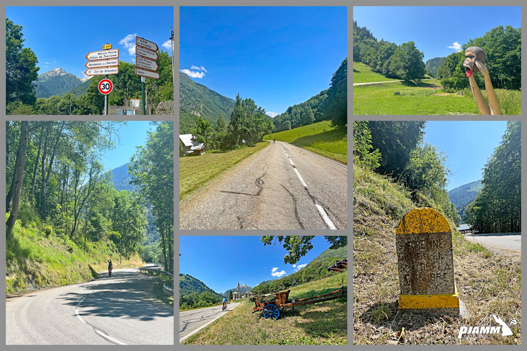
The first part of the climb is forested.

The climb has been made famous and included in the Tour de France 21 times between 1947 and 2023.

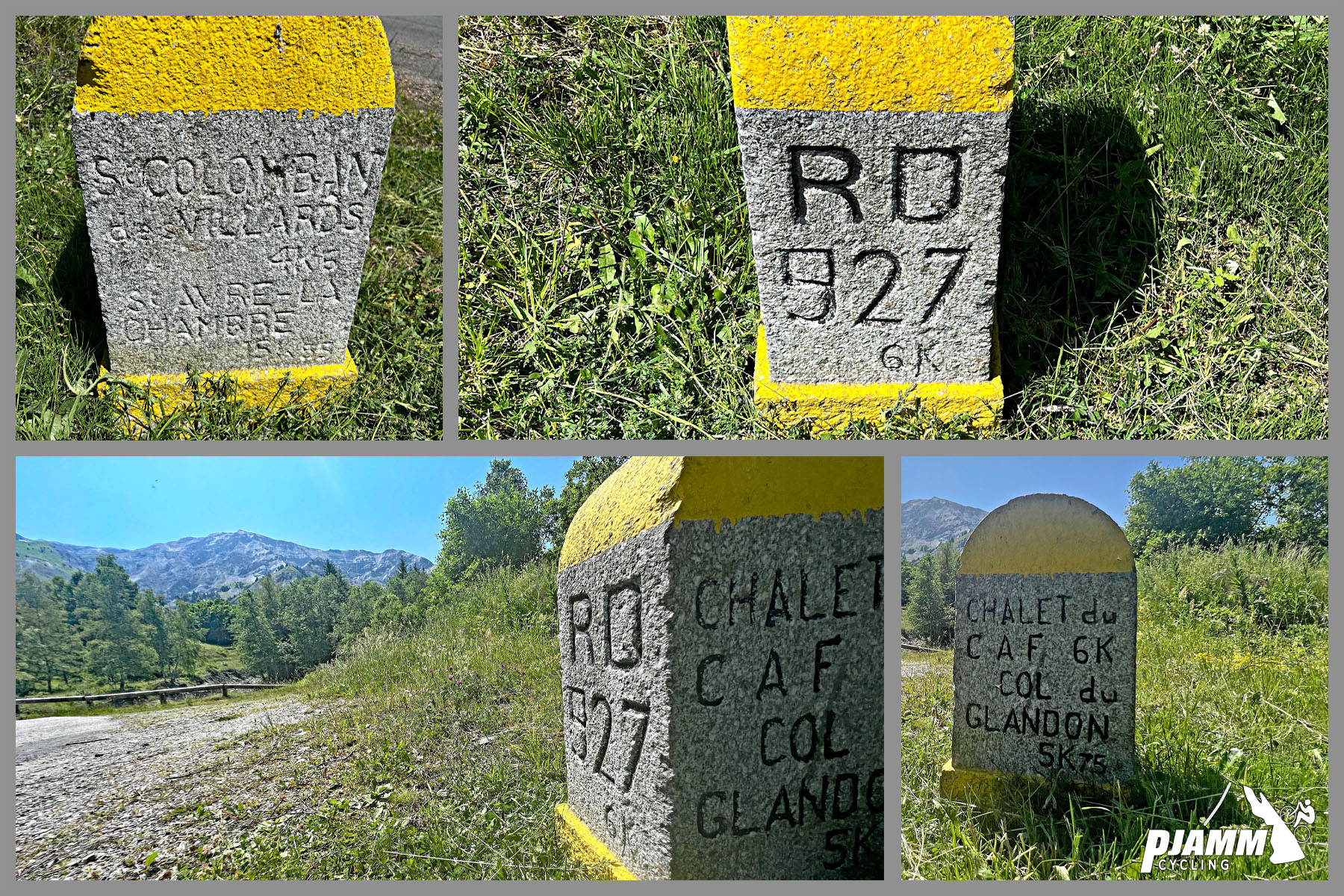
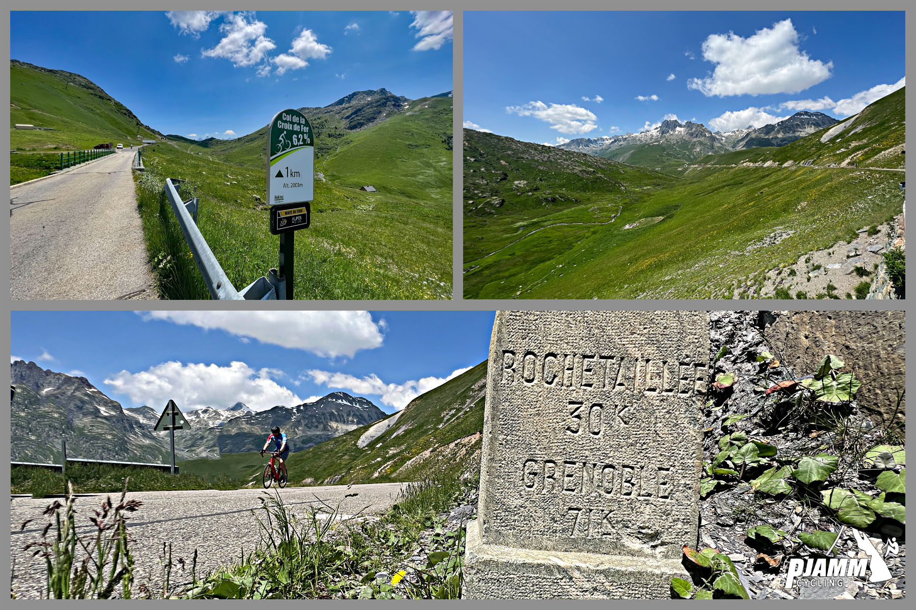
Keep a sharp eye out - there are several old cement roadway markers along the way.

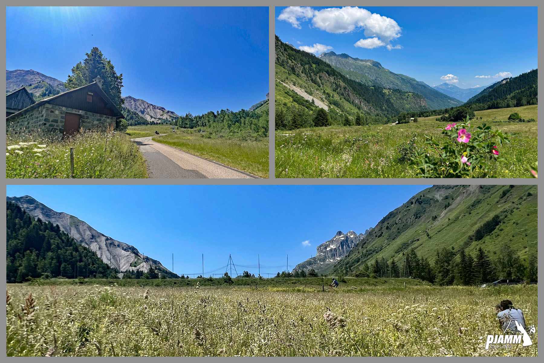
We pass through meadows with panoramic views along the climb.

Other amazing and famous climbs in this area are Col du Telegraphe, Col du Galibier, Col du Chaussy (Lacets Montvernier), Col du Madeleine, and the Granddaddy of them all, Alpe d’Huez!,

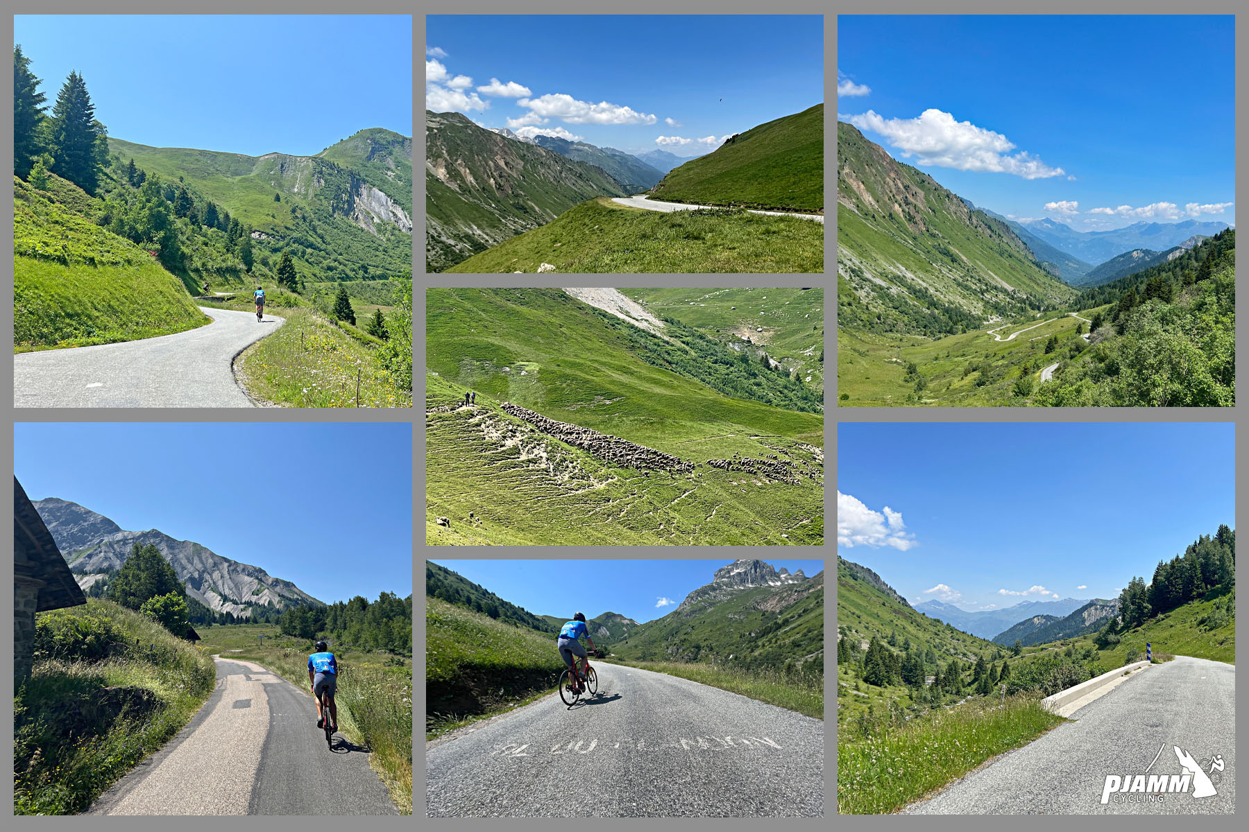
We pass above the tree line about 1.5 kilometers from Col du Glandon.

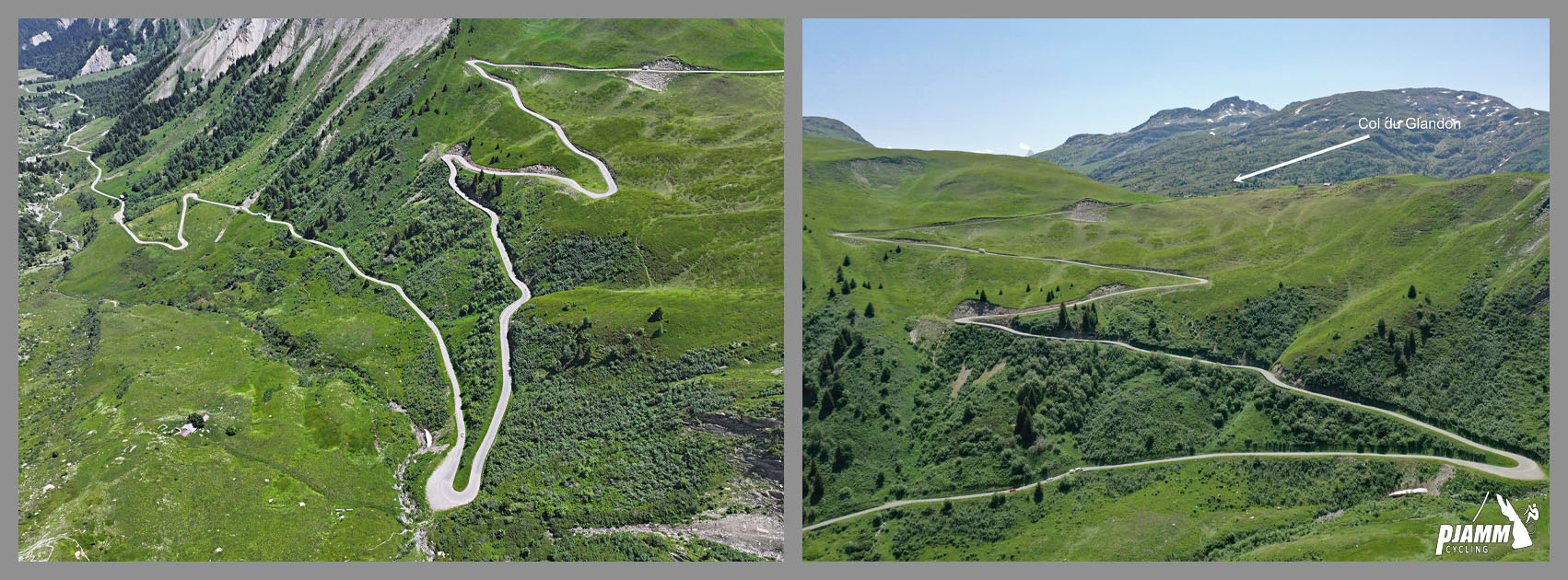
There are not a lot of hairpins on the climb but we do encounter 4 giant ones just before the Col du Glandon.

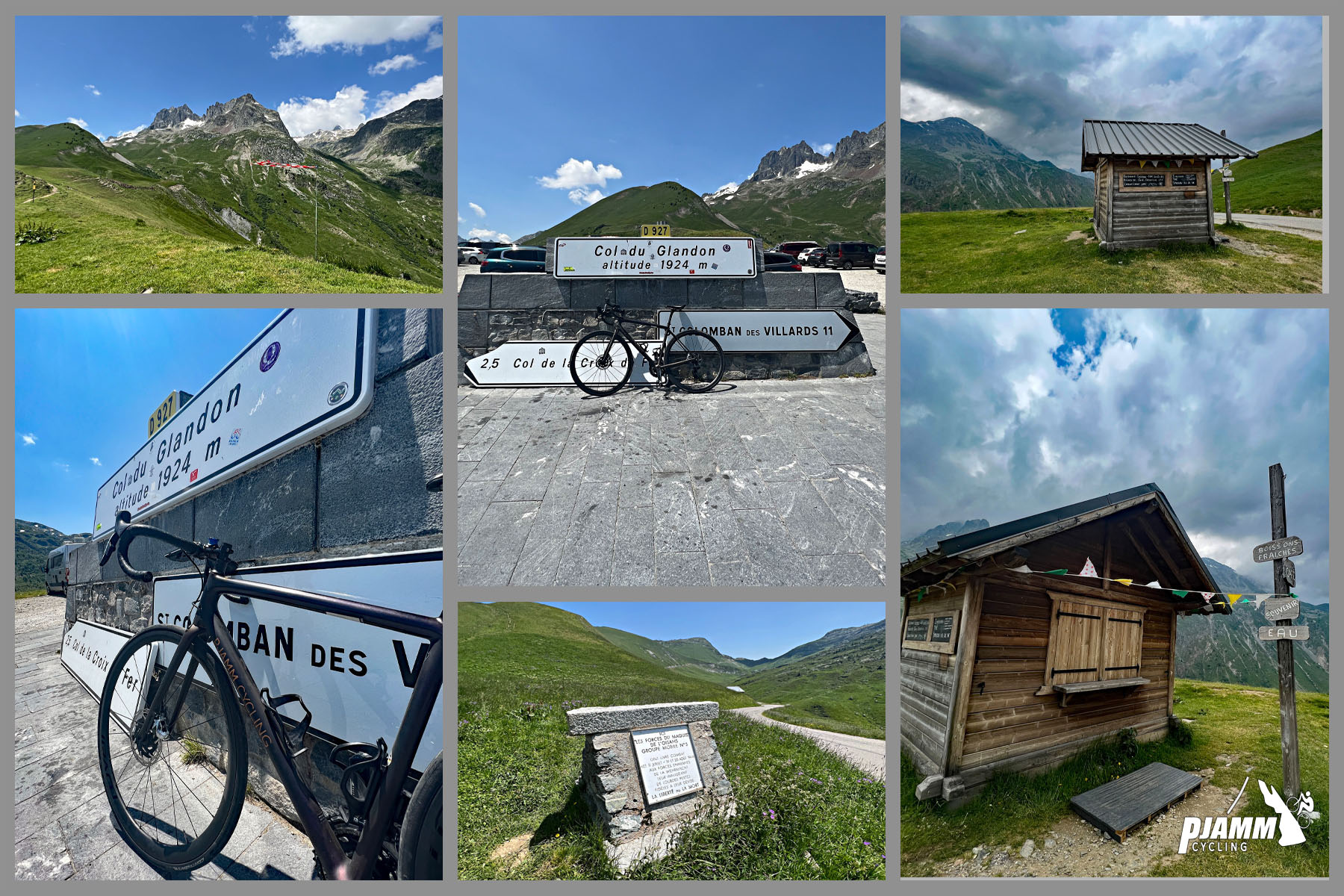
We reach Col du Glandonat 1,924 meters.  There is a col sign and snack hut at the top of this col.

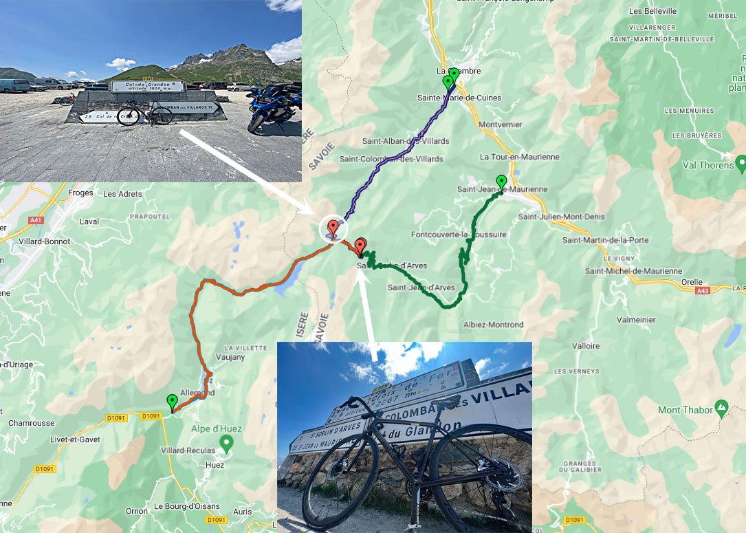
Turn left and ride up another 2.6 kilometers to Col de la Croix de Fer.

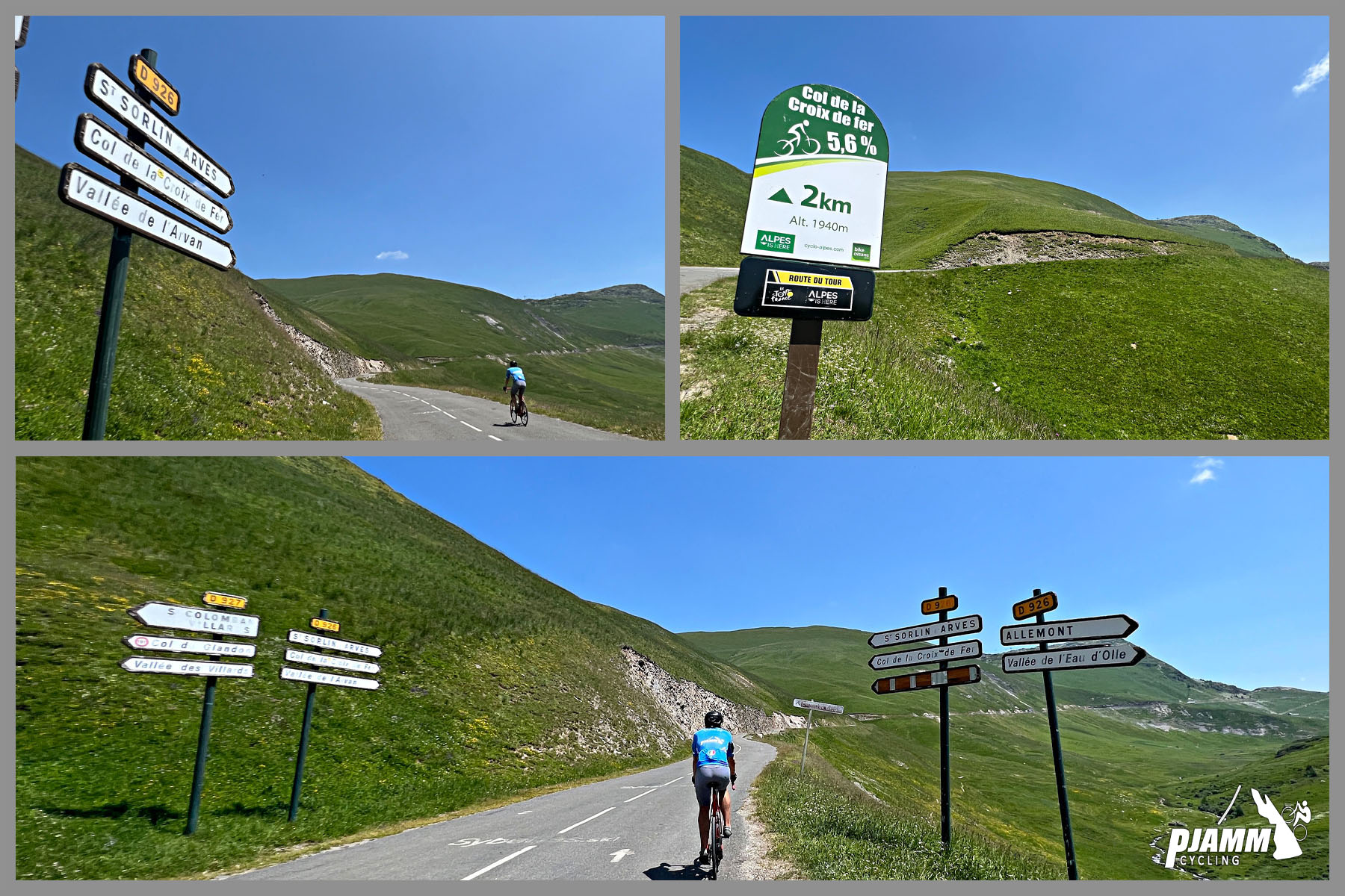
The Col de la Croix de Fer signs are on the route for this climb that begins from the west.  On our eastern approach the kilometer markers are for Col du Glandon but for the last 2 kilometers up to Col de la Croix de Fer.

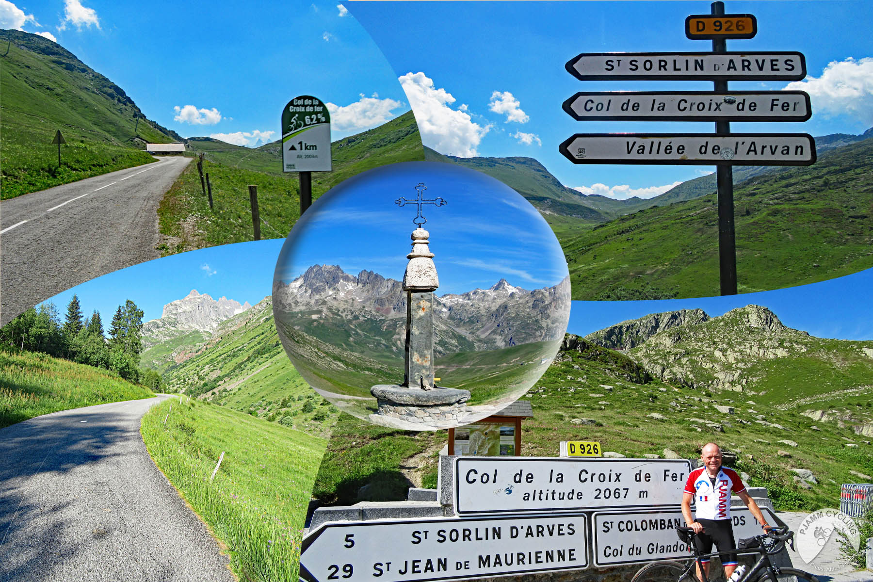
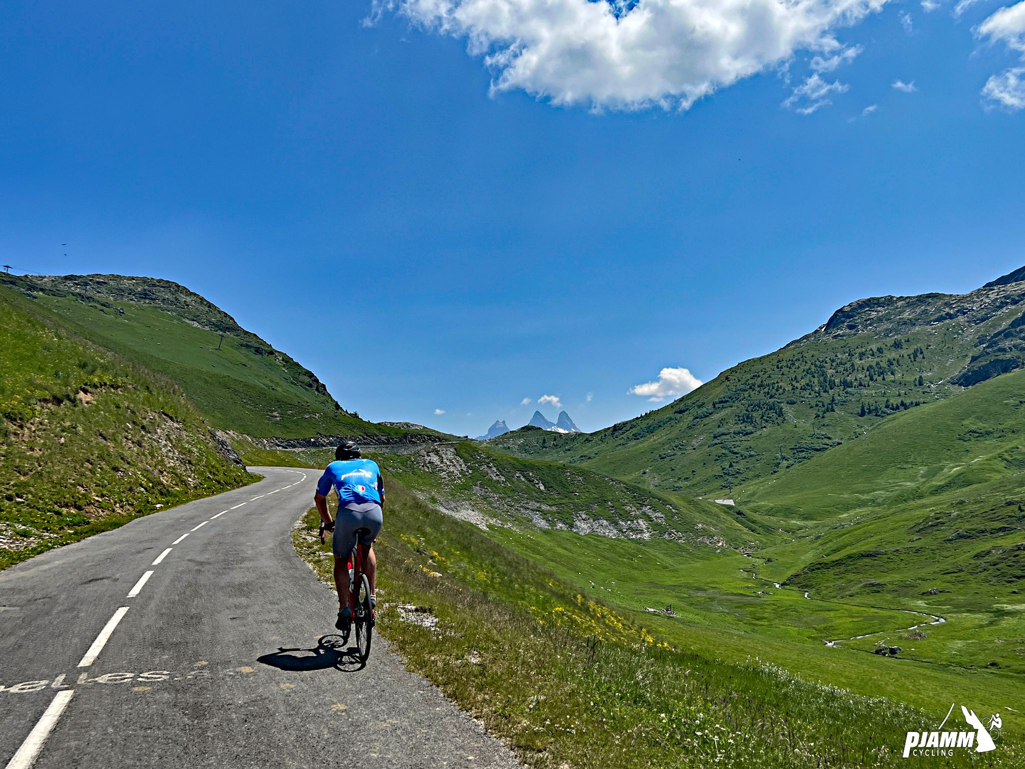
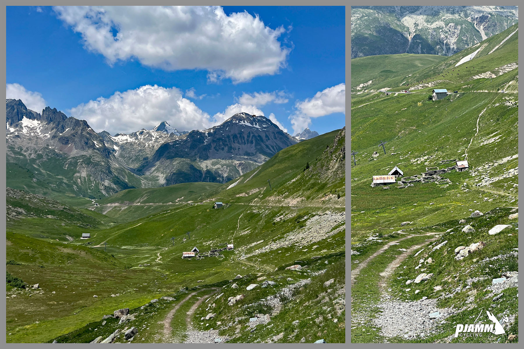
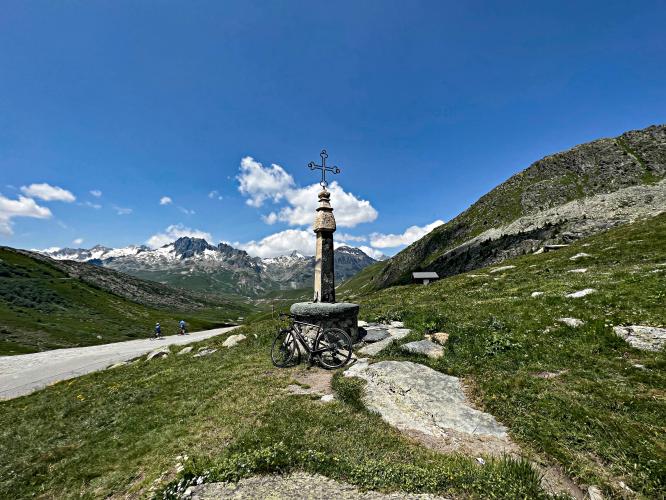
Stunning scenery and old road monuments over the last 2.6 kilometers.

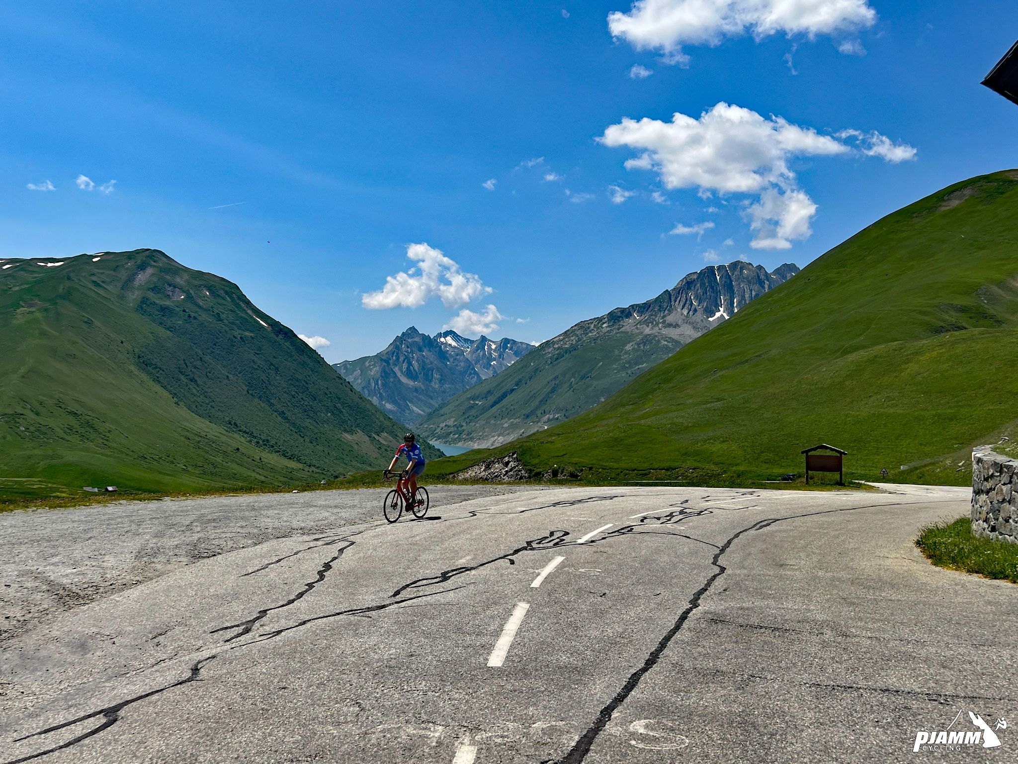
The reservoir Eau d’Olle is visible to the west as we finish the Croix de Fer climb.

Eau d’Olle is one of the predominant features on the western approach to Croix de Fer.

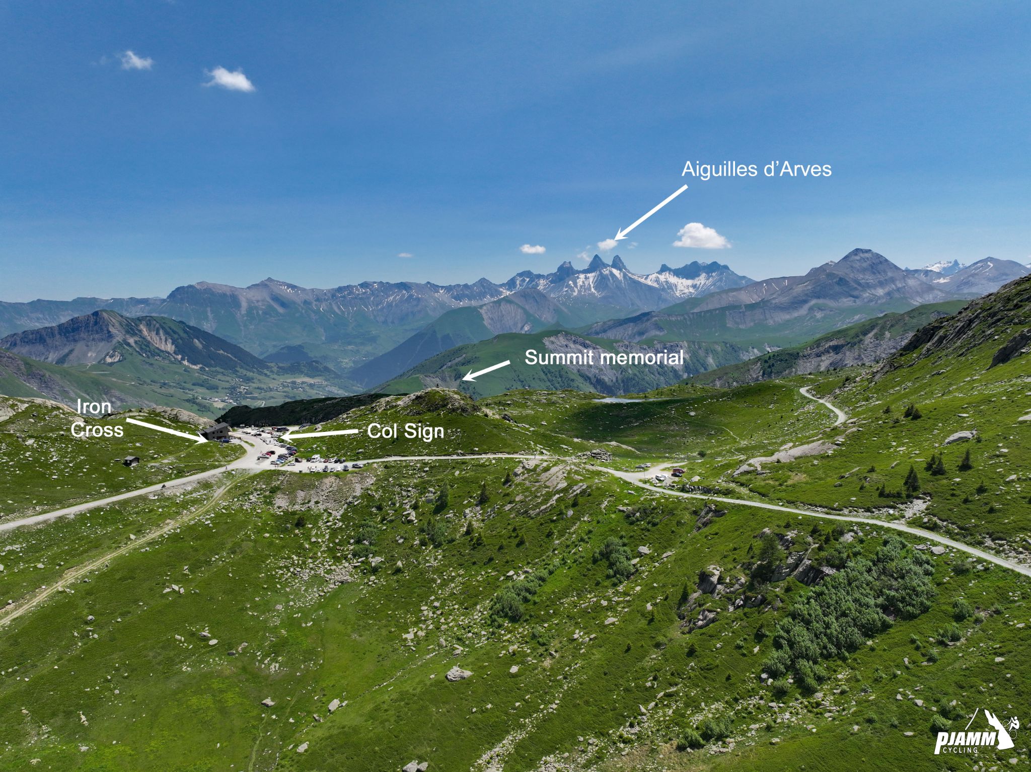
We see the 3 peaks of Aiguilles d’ARves (3,514 meters/11,529’) as we approach the col.

Looking back towards Col du Glandon near the finish of our climb.

Points of interest at or visible from the Col de la Croix de Fer

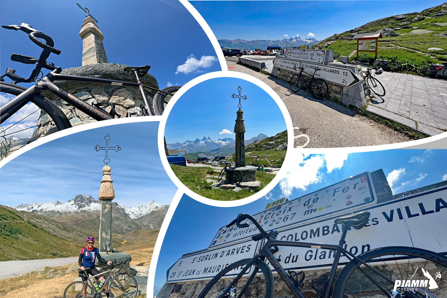
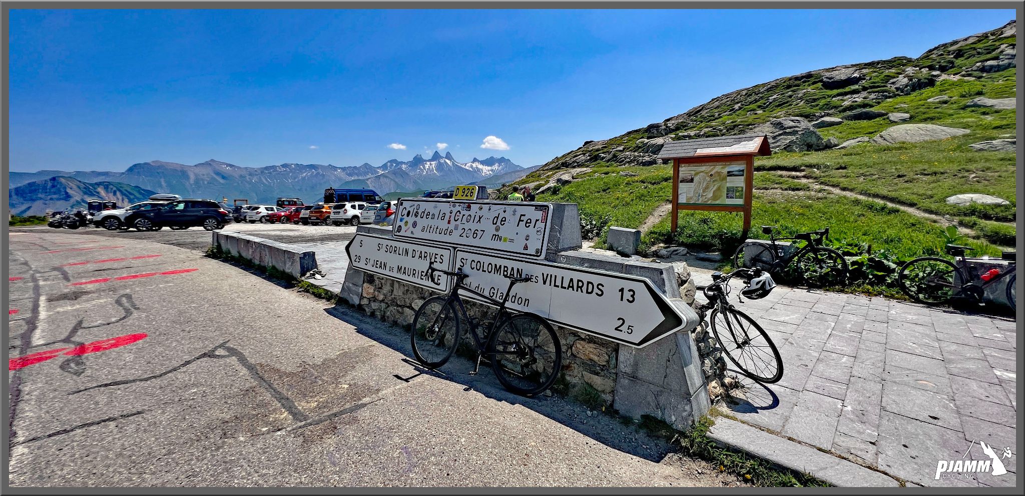
The Col sign, iron cross and cafe are at the finish of the climb.  

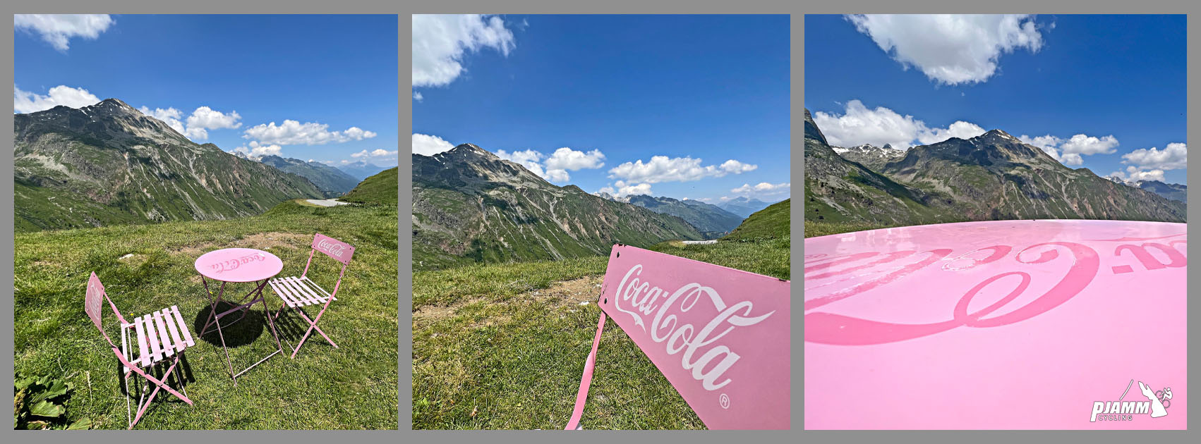
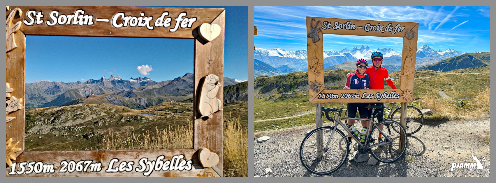
The Les Sybelles photo op frame is to the left just before the summit when riding from Saint Jean de Maurienne

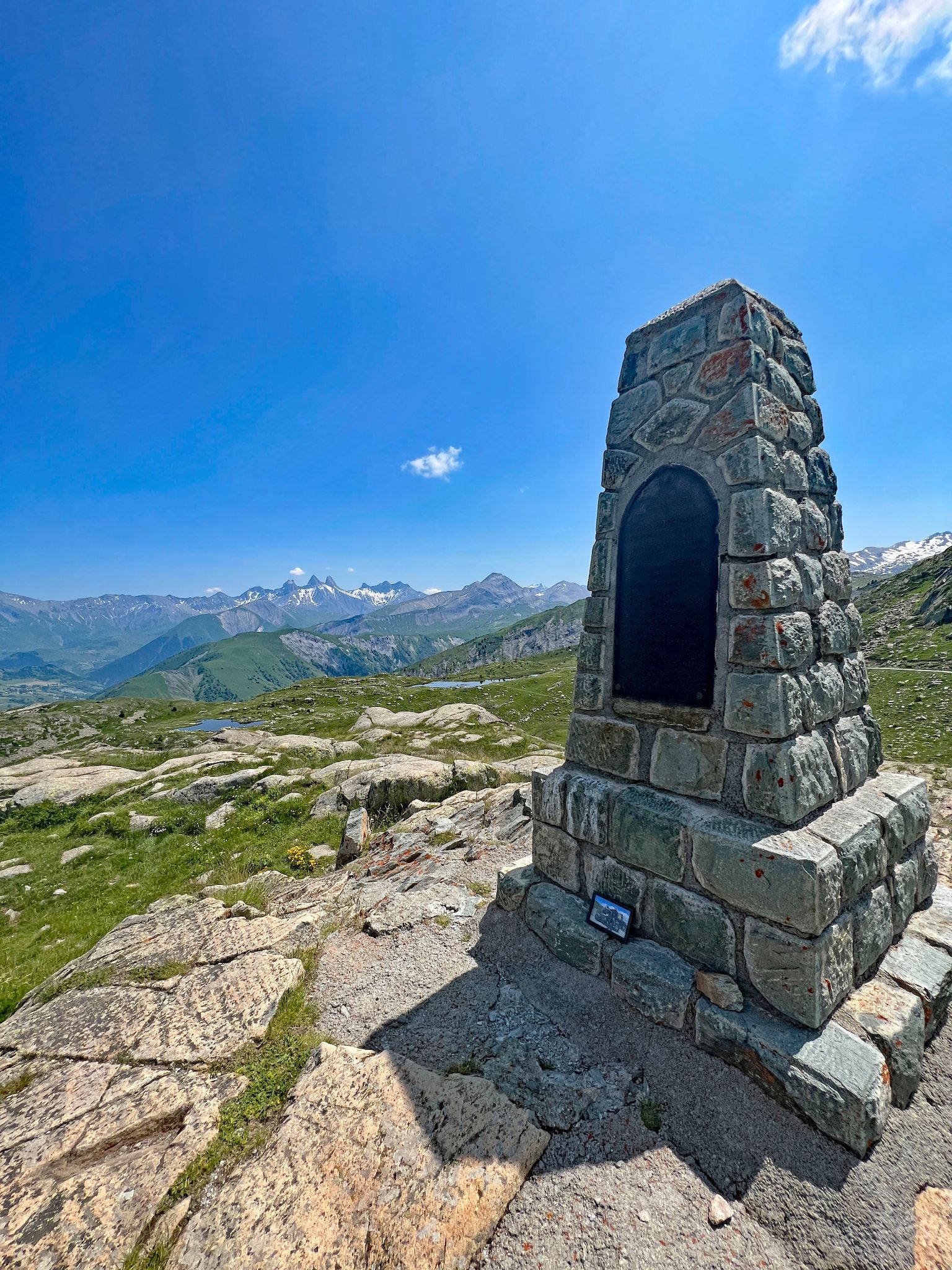
You can also hike 50 meters up to a World War I memorial.

We had a very nice lunch at Chalet du col de La Croix de fer at the finish.

TOUR DE FRANCE

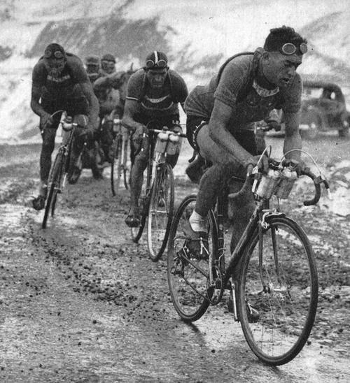
Gino Bartali and Louison Bobet -- Croix de la Fer TdF 1948.

Photo: Silvano Bottaro, Pinterest

It was on the Croix de Fer on Stage 18 (July 22) of the 1986 Tour de France that Greg Lemond and Bernard Hinault distanced themselves from the all others and dueled for the stage win.  Hinault, in search of what would have been a record sixth Tour victory, was trying to make up three minutes lost the day earlier to Lemond on the Col d’Izoard on Stage 17.  He attacked on Col du Galibier and Croix de Fer but could not shake Lemond and the two crossed the line in the same time with Hinault winning the stage, but Lemond the tour.

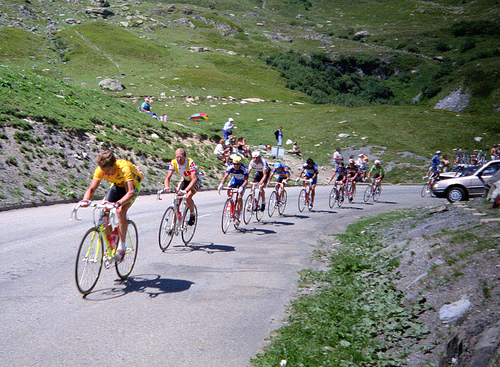
Greg Lemond on the Croix de Fer in 1989 (his second of three TdF wins).

Photo:  Steve Selwood

Vincenzo Nibali took heat for looking back at disabled Froome on TdF 2015 Stage 19, then attacking.

Photo:  Albertnet.us

Col de la Croix de Fer has appeared in the Tour de France 21 times between 1947 and 2023.

Climb name

Mountain Range

Times Featured in Tour de France

Most recent

First included

Col du Tourmalet

Pyrenees

89

2023

1910

Col d'Aspin

Pyrenees

74

2023

1910

Col d'Aubisque

Pyrenees

73

2022

1910

Col de Peyresourde

Pyrenees

68

2021

1910

Col du Galibier

Alps

63

2022

1911

Col de Portet d'Aspet

Pyrenees

58

2021

1910

Col des Aravis

Alps

42

2023

1911

Col d'Izoard

Alps

36

2019

1922

Col de Vars

Alps

35

2019

1922

Col d'Allos

Alps

34

2015

1911

Alpe d'Huez

Alps

32

2022

1952

Col du Télégraphe

Alps

31

2022

1911

Col de la Madeleine

Alps

29

2020

1969

Col de la Croix de Fer

Alps

21

2022

1947

Mont Ventoux

Alps

18

1921

1951

Col du Soulor

Pyrenees

16

2019

1912

Col du Glandon

Alps

14

2015

1947

Puy de Dome

Massif Central

14

2023

1952

Luz Ardiden

Pyrenees

9

2021

1985

Col de l'Iseran

Alps

8

2019

1938

© PJAMM Cycling.

Wikipedia has a good summary of this popular pass:

“Col de la Croix de Fer (English: Pass of the Iron Cross) (el. 2067 m.) is a high mountain pass in the French Alps linking Le Bourg-d'Oisans and Saint-Jean-de-Maurienne.


The approach from the northeast from Saint-Jean-de-Maurienne is 29.5 km at an average gradient of 5.5% with some sections at 9.5%, and the one from the southwest from Rochetaillée 31.5 km at an average gradient of 5.75% with short sections in excess of 11%. When coming from Rochetaillée, the road forks 2.5 km before the summit, leading to the Col du Glandon. There is also an approach from the north from La Chambre via Col du Glandon which is the hardest: 22.7 km at an average gradient of 7.0% (this is the route used for the 2012 Tour de France).


The pass has featured in the Tour de France nineteen times since it was first passed in the 1947 tour when the race was led over the summit by Fermo Camellini. It was crossed on Stage 11 of the 2012 race, between Albertville and La Toussuire-Les Sybelles. In the 2015 race it was passed twice in the two finale mountain stages stage 19 between Saint-Jean-de-Maurienne to La Toussuire - Les Sybelles, and from the other side in stage 20 between Modane to Alpe d'Huez. The route for stage 20 was changed in June 2015 caused by a landslide in April so Col de la Croix de Fer substitutes both Col du Télégraphe and Col du Galibier”  (Wikipedia - Col de la Croix de Fer).