Col de l'Iseran (Val-d'Isere) Bike Climb - PJAMM Cycling

19
PDI
10.1 mi
DISTANCE
3,079 ft
GAINED
5.8 %
AVG. GRADE

FULL CLIMB STATS

Page Contributor(s): Ard Oostra, Switzerland

INTRO

Col de l'Iseran is the highest paved pass in the Alps, and the northern approach starts in one of the most famous ski resorts in the world, Val-d'Isère. From the center of town, the D902 climbs 16.2 km (10.1 mi) and 938 m (3079 ft) at an average of 5.8% to the col at 2764 m (9068 ft) - a long, steady, high-altitude ascent that never turns brutal but never really lets up either. This is the more open, more alpine of the Iseran's two sides. The road leaves the chalets behind at Le Fornet, crosses the Isère at the Pont Saint-Charles around km 5, then swings into a pair of giant hairpins above the valley. From there it's a long traverse above the tree line, with ever-bigger views back down to Val-d'Isère, past a viewing table and a small pond about a kilometer below the top. The final kilometer is the steepest of the climb, and at this altitude it feels every bit of it. The Iseran first appeared in the Tour de France in 1938, and Val-d'Isère has hosted the race itself - a stage finish in 1963, and in 2007 the stage to Briançon started in town and went straight up this side of the pass. The road is only open in summer and early autumn, and the weather at 2700 m (8860 ft) can change fast, so check current conditions before you go with our Weather tool.

PLAN YOUR ROUTE

We've partnered with Sherpa-Map.com to bring you the best route planning tool. With a PRO Membership you can use this climb as a reference when creating your route.
Col de l'Iseran from Val-d'Isère climbs 16.2 km (10.1 mi) from 1831 m (6008 ft) to 2759 m (9052 ft) at the top of our route, gaining 938 m (3079 ft) at an average grade of 5.8%. The first 2 km through town and on toward Le Fornet are gentle (about 3-5%), and the grade eases again to about 3% around the Pont Saint-Charles near km 5 - the last real breather until km 10, where another flatter kilometer averages under 4%. Everything else sits between 6% and 7%, steady enough to settle into a rhythm. The sting is at the very end: the steepest kilometer, averaging 8.6%, is the final push to the col, and the steepest short pitches reach about 9-10%. The steepest 2 km average 7.7%, the steepest 5 km 6.9%, and the steepest 10 km 6.3%. The bigger challenge is altitude - the whole climb is above 1800 m (5900 ft) and the last 5 km are above 2400 m (7870 ft), so pace yourself early.
Roadway: The D902 is paved the entire way and in good summer condition, climbing through a few long hairpins and then long, exposed traverses above the tree line. The pass is closed in winter: for 2026 it reopened on June 12, and the scheduled winter closure is the first Monday in November (November 2, 2026), but autumn snow can close it earlier at short notice - check the Savoie department's road information before setting out.

Traffic: The Iseran is part of the Route des Grandes Alpes, so expect steady summer traffic, especially motorcycles and sports cars, heaviest in July and August and lightest early in the morning. Each June, L'Iserane closes this side of the road to motor vehicles for a morning (until 12:30) so cyclists can ride from Val-d'Isère to the col and back in peace.

Parking: Val-d'Isère has several public car parks around the center, close to the start of the climb. If you'd rather skip the town section, the free Pont Saint-Charles car park sits right on the D902 at about km 5 of the climb (around 40 spaces, with toilets and picnic tables) - it's also a busy hiking trailhead, so in summer arrive before about 10 am.
Provisions: Val-d'Isère is a full resort town, so stock up on food and water there before you leave - there are no shops or fountains you can count on along the D902 between Le Fornet and the col.

Gear: The gradients are moderate, so standard compact gearing is fine for most riders, but the altitude is not - the top is close to 2800 m (9200 ft), and even on a warm July day in Val-d'Isère it can be cold, windy and wet at the col. Bring a windproof jacket, full-finger gloves and a warm layer for the long descent, and expect headwinds on the exposed upper section.
Before heading out on any cycling adventure check out our Things to Bring on a Cycling Trip and use our interactive check list to ensure you don't forget anything.
Val-d'Isère is a true high-mountain ski town at the head of the Tarentaise valley, on the edge of the Vanoise National Park, France's oldest. It hosted the men's downhill at the 1992 Winter Olympics, and its linked ski area with Tignes is named Espace Killy after Jean-Claude Killy, the triple Olympic champion who grew up here. In summer the town is far quieter, with hiking right from the village. The Pont Saint-Charles at km 5 is worth a stop: several hiking trails start from the car park, including routes into the Vanoise. If you're in the area in late June, L'Iserane is a relaxed, untimed ride from Val-d'Isère to the col and back on a road closed to cars and motorcycles. For a much bigger day, start in the Isère valley and climb all the way - the full northern ascent from Bourg-Saint-Maurice is about 48 km (29.8 mi) and 1955 m (6414 ft) of gain. Our Montée de Tignes page covers the tunnels and the Lac du Chevril section below town, and our Bonneval-sur-Arc page covers the wilder southern side, its chapel at the col and the Iseran's Tour history.

ROUTE MAP

MEMBER RATING

Difficulty: Challenging
5/5
Road
5/5
Traffic
4/5
Scenery

CURRENT WEATHER

PJAMM TRIPS ADVENTURE STARTER BUNDLES

Check out PJAMM Adventure's prepackaged (self-guided) cycling trips. They will help you plan, document and conquer your next adventure.
ALL TRIPS
Browse all of our prepackaged trips and find your next adventure!

NEARBY CLIMBS (0) RADIAL PROXIMITY

FROM
No Climbs Found

MEMBER REVIEWS & COMMENTS

Let us know what you thought of this climb. Signup for our FREE membership to write a review or post a comment.
Already have an account?

Jul 10, 2024
difficulty: Challenging
scenery: 4
traffic: 5
road: 5
Jul 10, 2024
scenery: 4
traffic: 5
road: 5
We left early to beat the rain that was forecast, but could have left earlier. The climb is not so hard, except that the thinner oxygen made it necessary to slow down a bit. Can't really say what the view is, but the first 90% of the ride was really beautiful. At just under 8900ft at the summit, it's the highest elevation I've been on a bike.
ROUTE MAP
PROFILE TOOL
Route Data
S.G. (%)
hide
Segment Data
hide
CLIMB SUMMARY

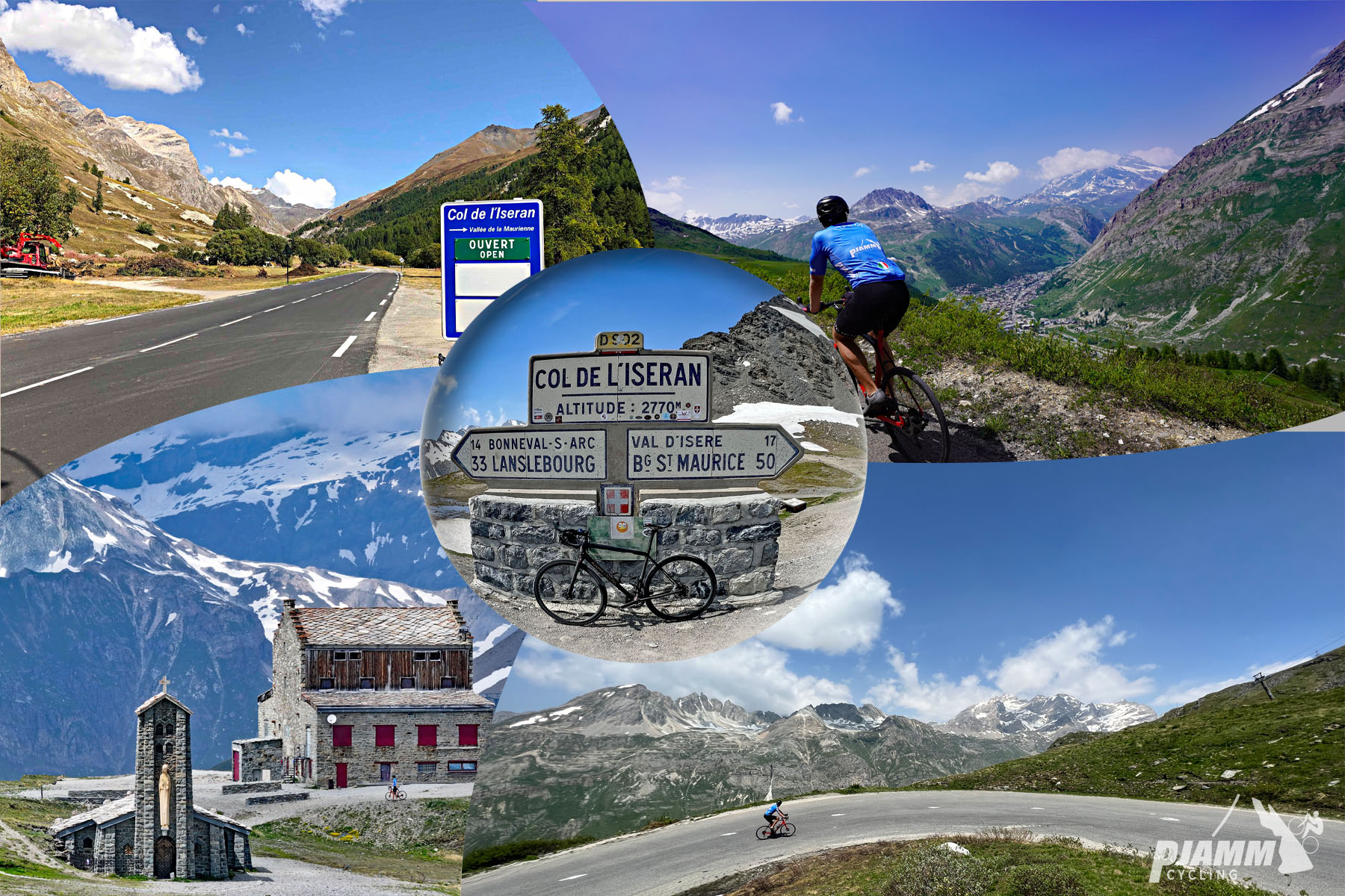
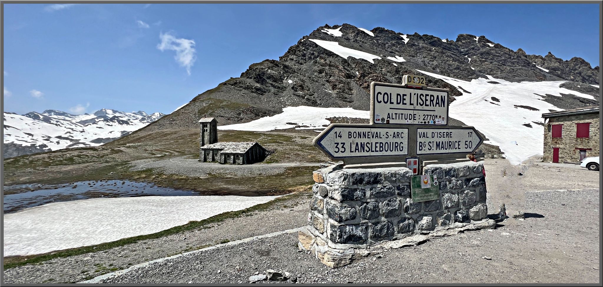
Cycling Col de L'Iseran: sign for Col de L'Iseran

Col de L'Iseran - one of the most spectacular cycling climbs in the world.

Ride 16.2 kilometers gaining 929 meters at 5.7% average grade.

From either direction, Col de L’Iseran is one of the most scenic and epic bike climbs in all of France.  The approach from Val d'Isère is the most epic and mountainous, while the approach from Bonneval-sur-Arc is both scenic and a bit more challenging. From Val d'Isère we ride past ski slopes up to magnificent mountain formations above tree line, depending on the time of year, to Lac de l’Ouillette (the lake could be frozen).

Cycling Col de L'Iseran: photo collage shows old cobblestone church, PJAMM cyclist riding on large curve in mountain roadway, bike parked next to road sign for Col de L'Iseran

Col de L’Iseran is the highest paved mountain pass in France and the entire Alps.

Col de L’Iseran is located in France’s Graian Alps, within the Savoie department, and close to France’s boarder with Italy.  The col is part of the Route des Grandes Alpes, and connects the Isère Valley with the Arc River (Maurienne) Valley.  Along the route is the Tignes-Val d'Isère ski resort, part of the reason this is a popular attraction in the right seasons.  Also of note is that this col is home to the highest point on the long-distance trail, the Alpine GR 5, which connects Lake Geneva to Nice.  Along the steep descent visitors can expect to see many waterfalls, as the col enters the Vanoise National Park.

THE FIRST SEGMENT OF THE CLIMB

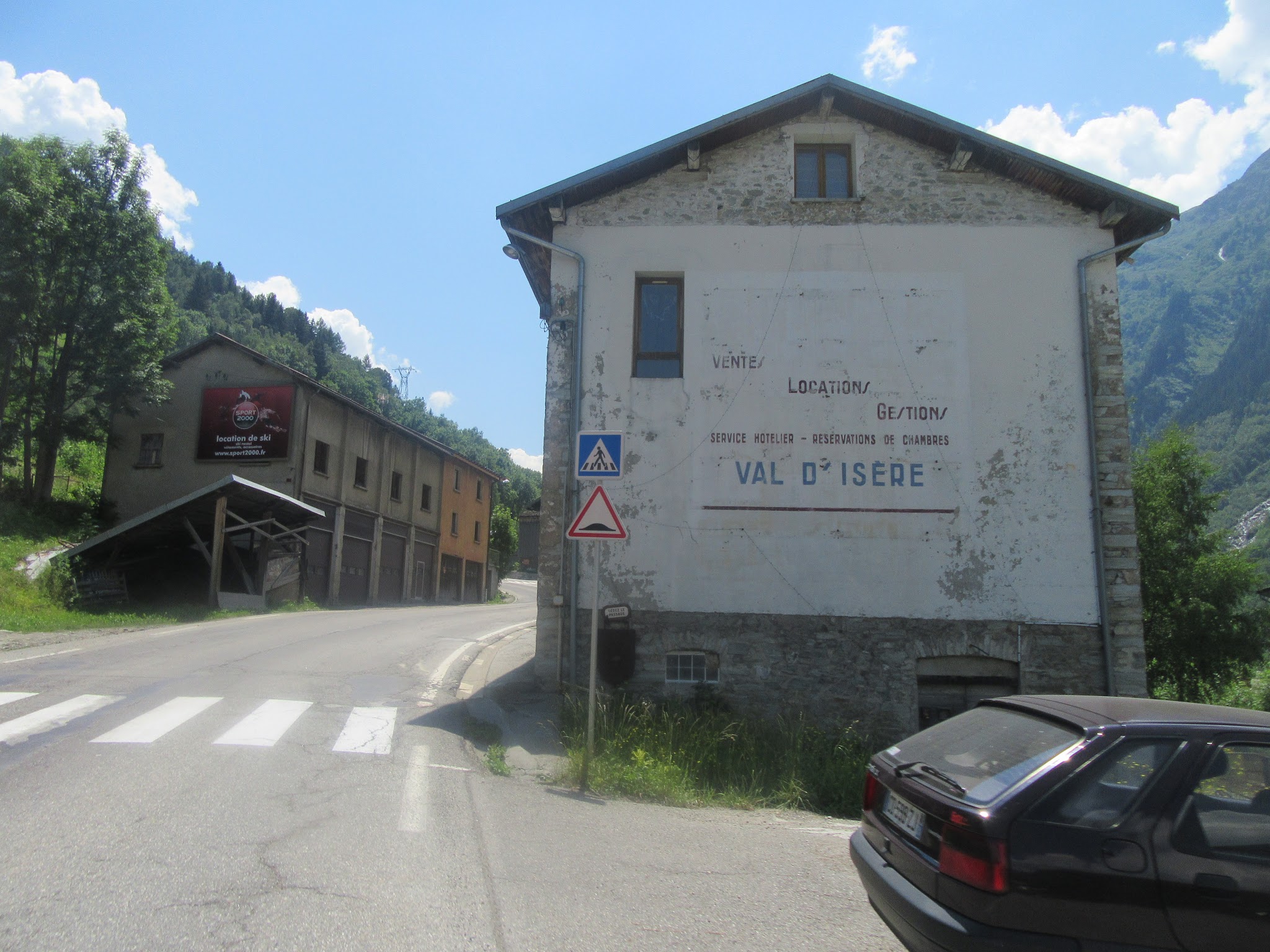
Bicycle ride of Col de L’Iseran from Val d'Isère - buildings in town and start of climb

Climb begins in Val d'Isère.

Val d'Isère is on the border of the Vanoise National Park (est. 1963; 534 square kilometers/131,954 acres).  Val d'Isère ski resort is quite famous, having hosted the 1992 Winter Olympic men’s downhill race and many World Cup alpine events. The ski areas of Val d'Isère and Tignes are named Espace Killy after three-time olympic champion Jean-Claude Killy who grew up in Val d'Isère.

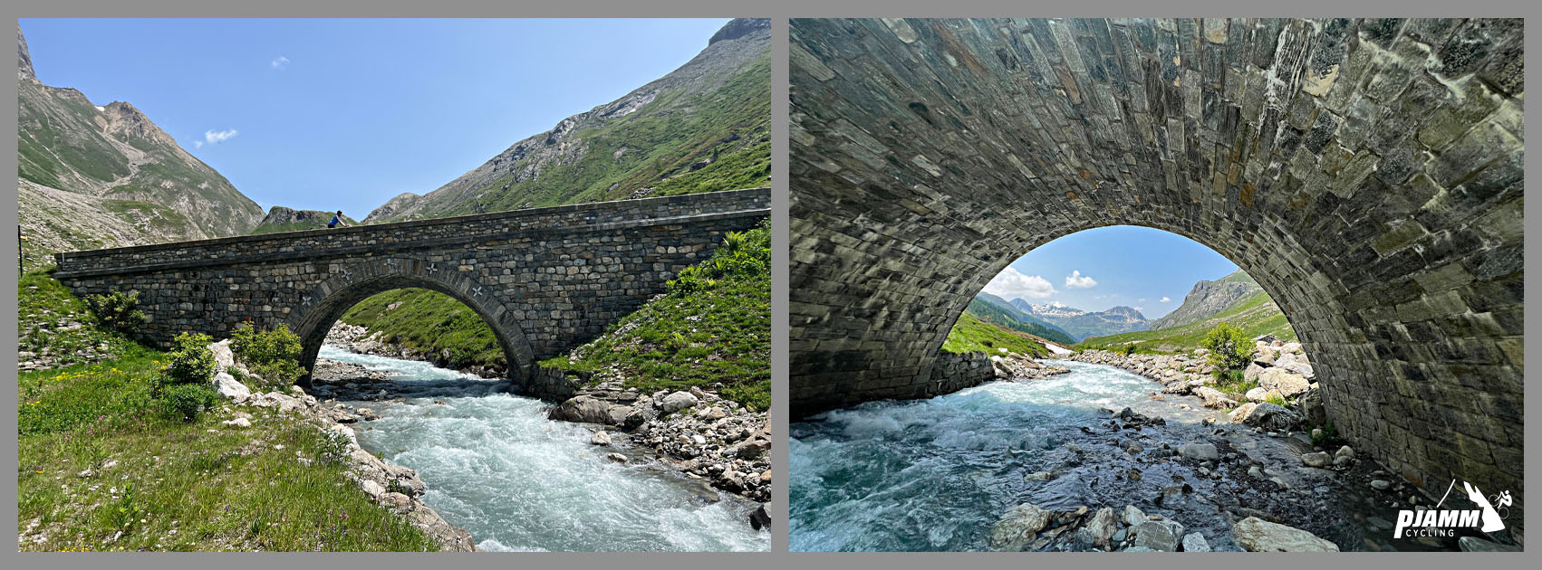
Cycling Col de L'Iseran: view from under Pont St. Charles Bridge

Pont St. Charles bridge.

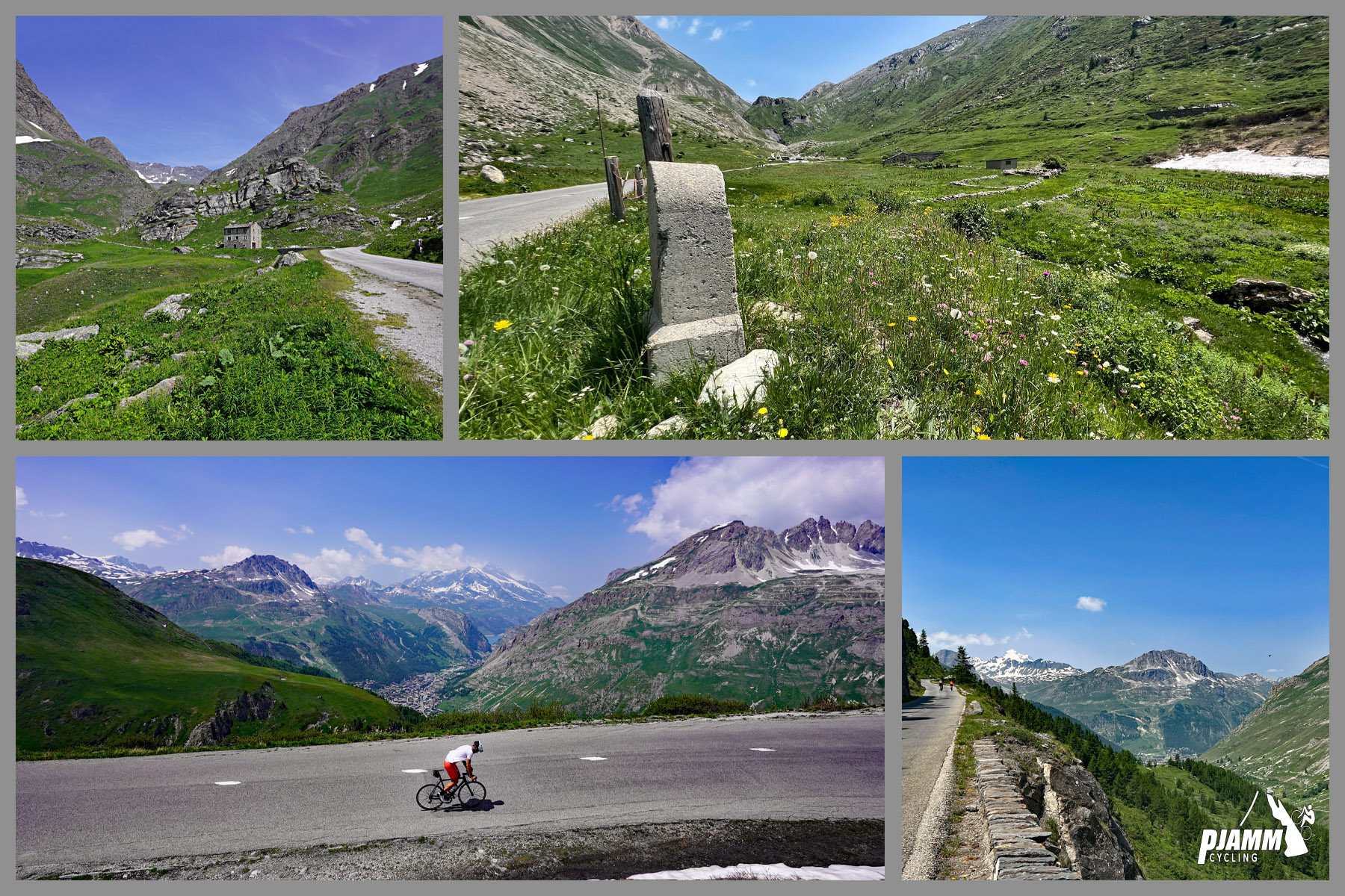
We pass by a beautiful meadow with a couple old farming buildings and over a stone bridge at kilometer 4.9, just before reaching hairpin #1.

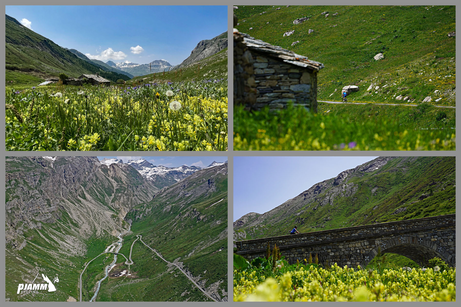
Cycling Col de L'Iseran: photo collage shows yellow wildflowers in meadow at kilometer 4.9

Pont St. Charles 3.6 mile hike begins at the bridge just before our first hairpin at kilometer 4.9.

Cycling Col de L'Iseran: photo collage showing vies from hairpin #1, kilometer 5; PJAMM cyclist riding on two-lane mountain roadway, stone kilometer markers in green hillsides speckled with yellow wildflowers

Photos as we approach and pass hairpin #1 at kilometer 5.

THE MIDDLE SEGMENT OF THE CLIMB

Cycling Col de L'Iseran: photo collage shows PJAMM cyclist riding on huge hairpin turn; green, alpine landscape

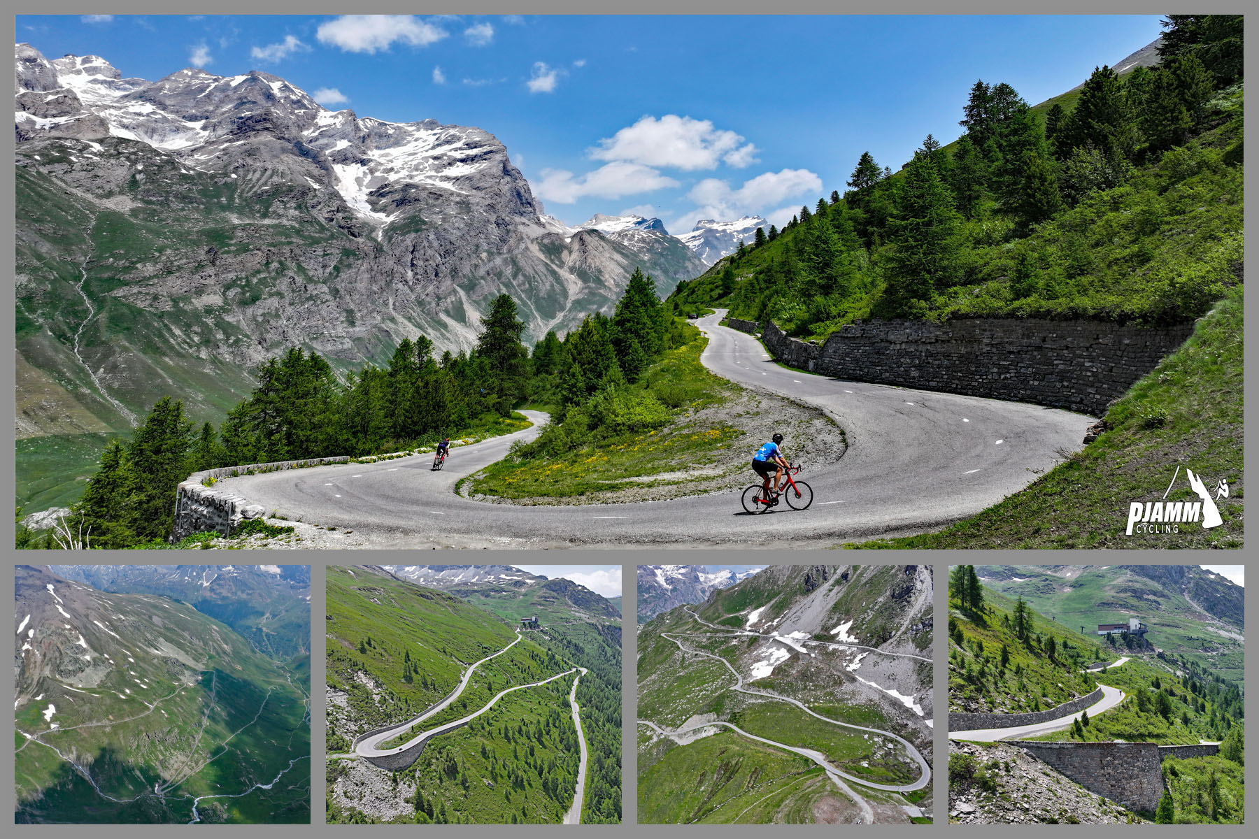
Second set of two giant hairpins at kilometer 7.5 averaging 5.3%.

Cycling Col de L'Iseran: stone bridge at kilometer 8.5; pink and yellow wildflowers growing in mountainside fields

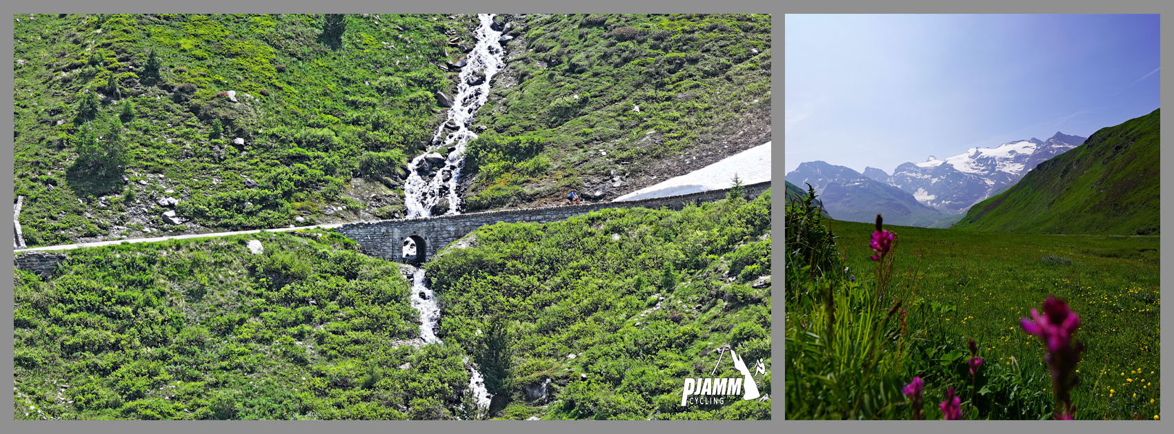
Bridge at kilometer 8.5.

There are many streams running down the mountain and under the road as we climb towards Col de L’Iseran from Val-d’Isere.

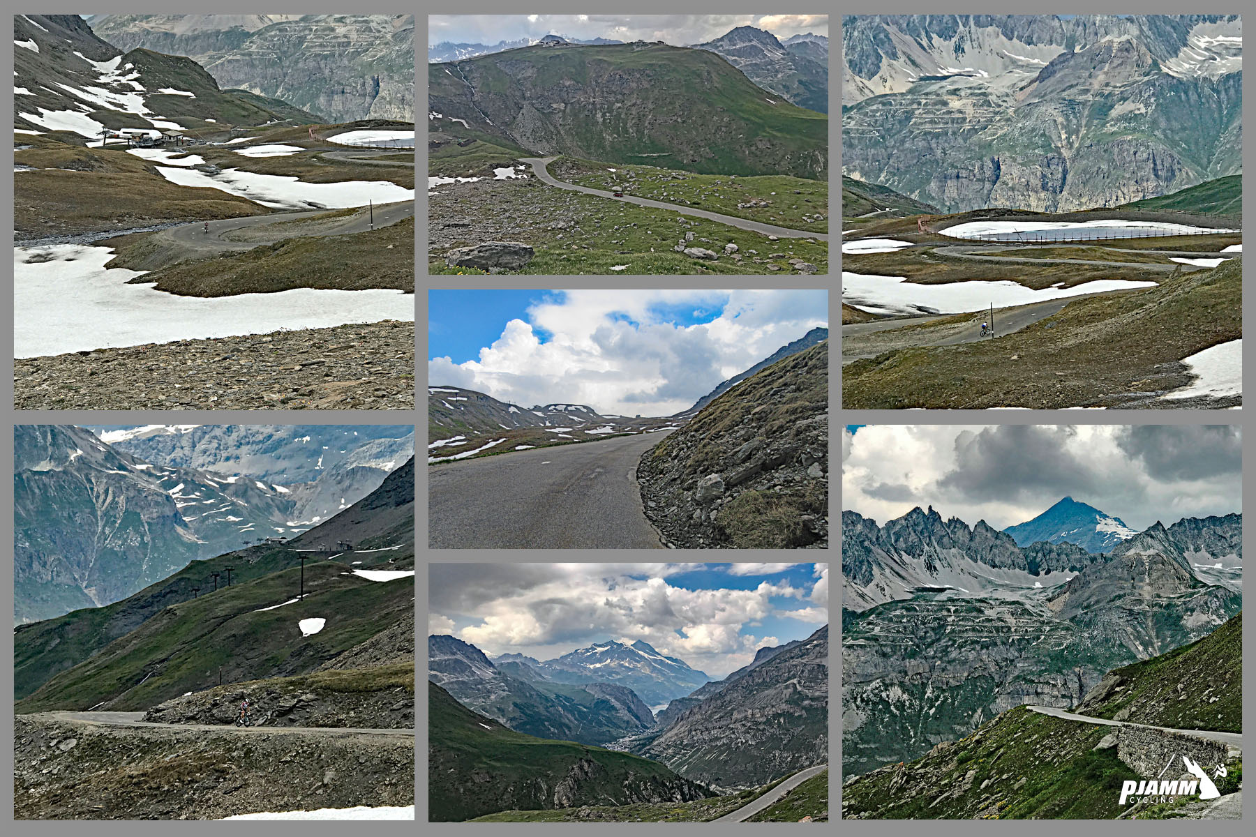
Cycling Col de L'Iseran: photo collage shows views along middle portion of climb; alpine lake in distance, snow-dotted mountain peaks; green hillsides

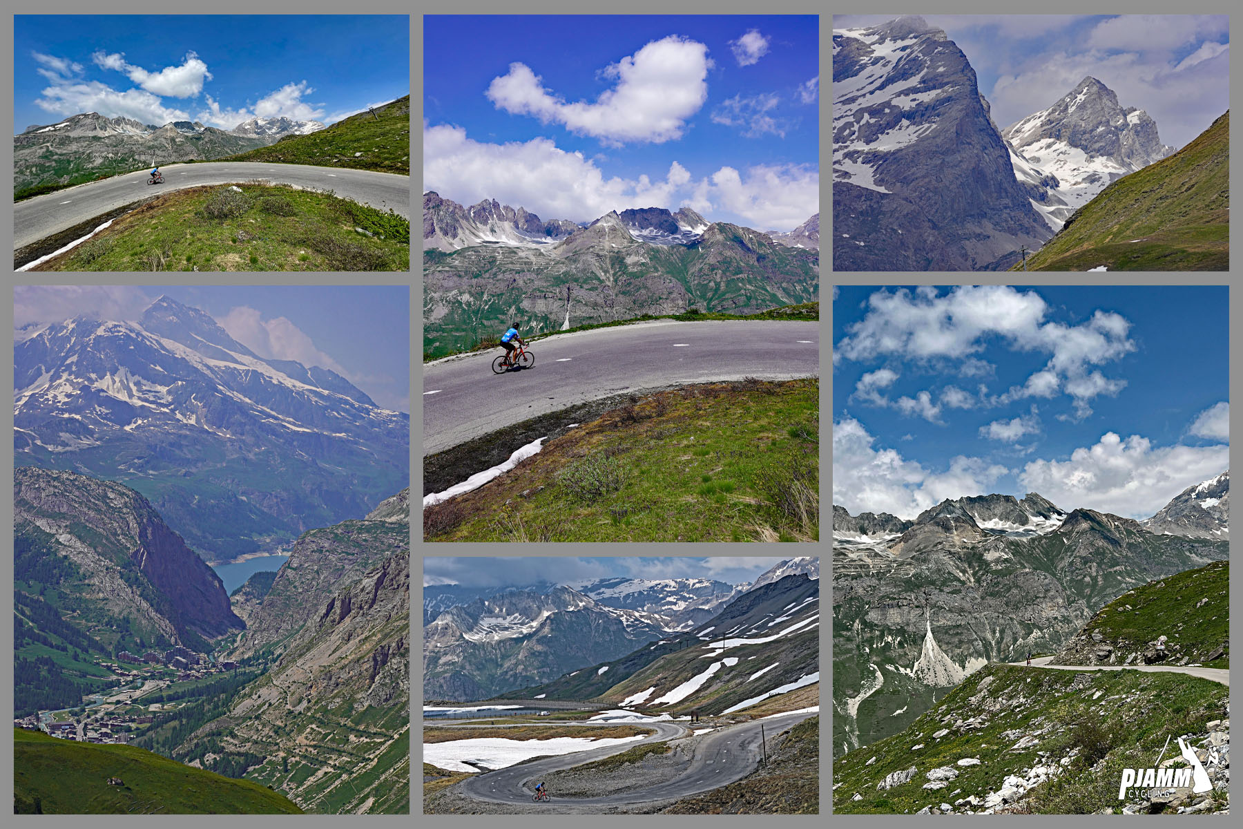
Views along the middle of the climb.

Cycling Col de L'Iseran: photo collage shows vies along the middle and upper portions of the climb, above the town of Val d'Isere; pockets of snow dotting landscape, long narrow mountain road snakes its way up mountain

Views along the middle to upper portion of climb, above Val d'Isère.

THE FINAL KILOMETER TO THE TOP

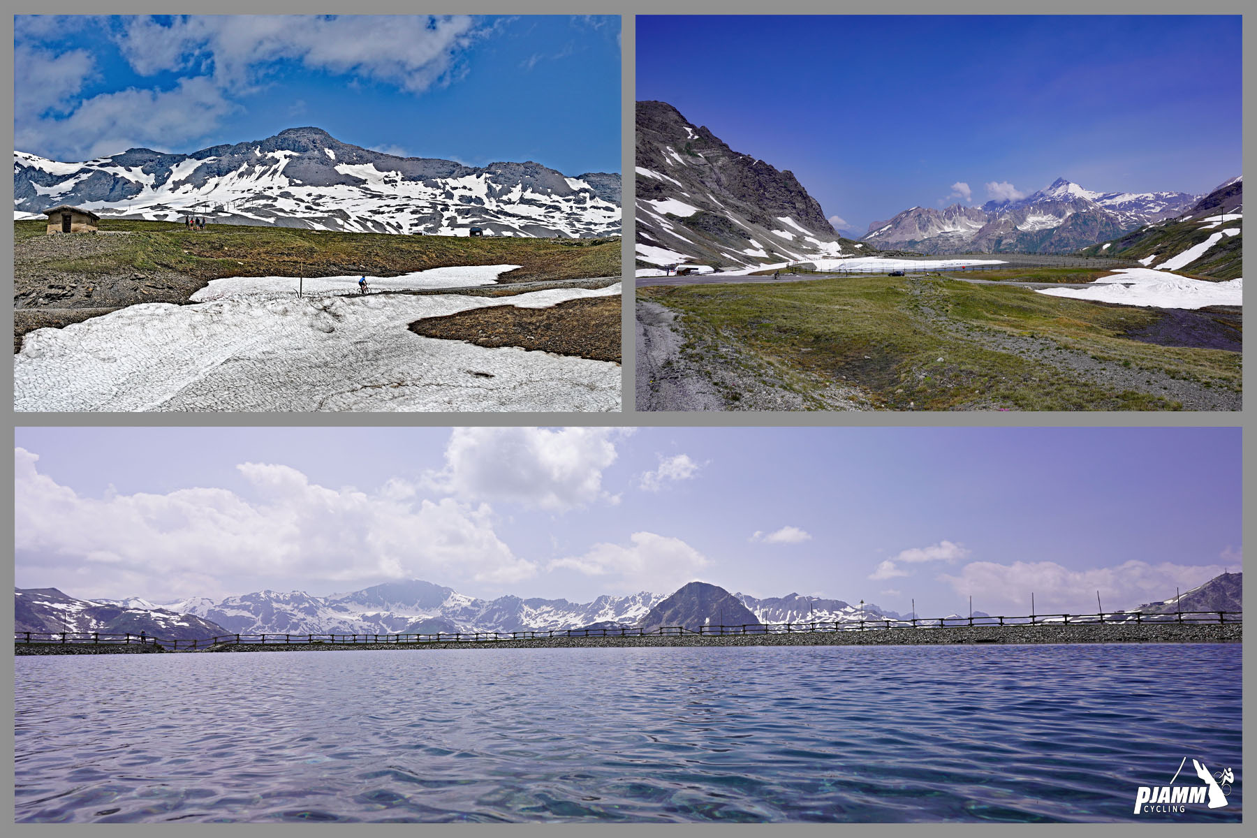
Cycling Col de L'Iseran: photo collage shows views of blue water in unnamed pond shortly before climb's finish; snow patches in fields

We pass an unnamed pond just 800 meters from the col.

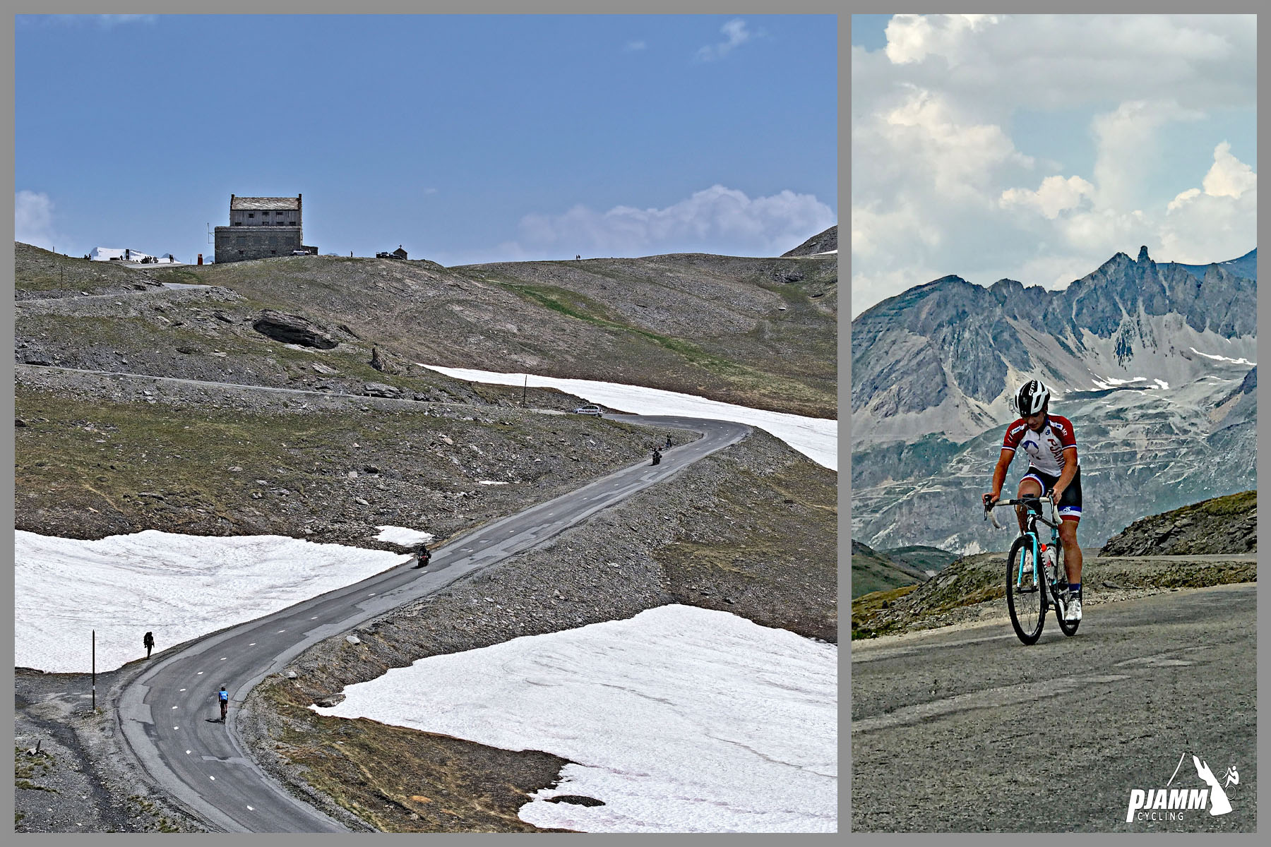
Cycling Col de L'Iseran: photo collage shows PJAMM cyclist riding final, steep kilometer of the climb; snow patches along roadway up to climb finish

The final kilometer to the Col is the steepest, averaging 7.7%.

KILOMETER MARKERS

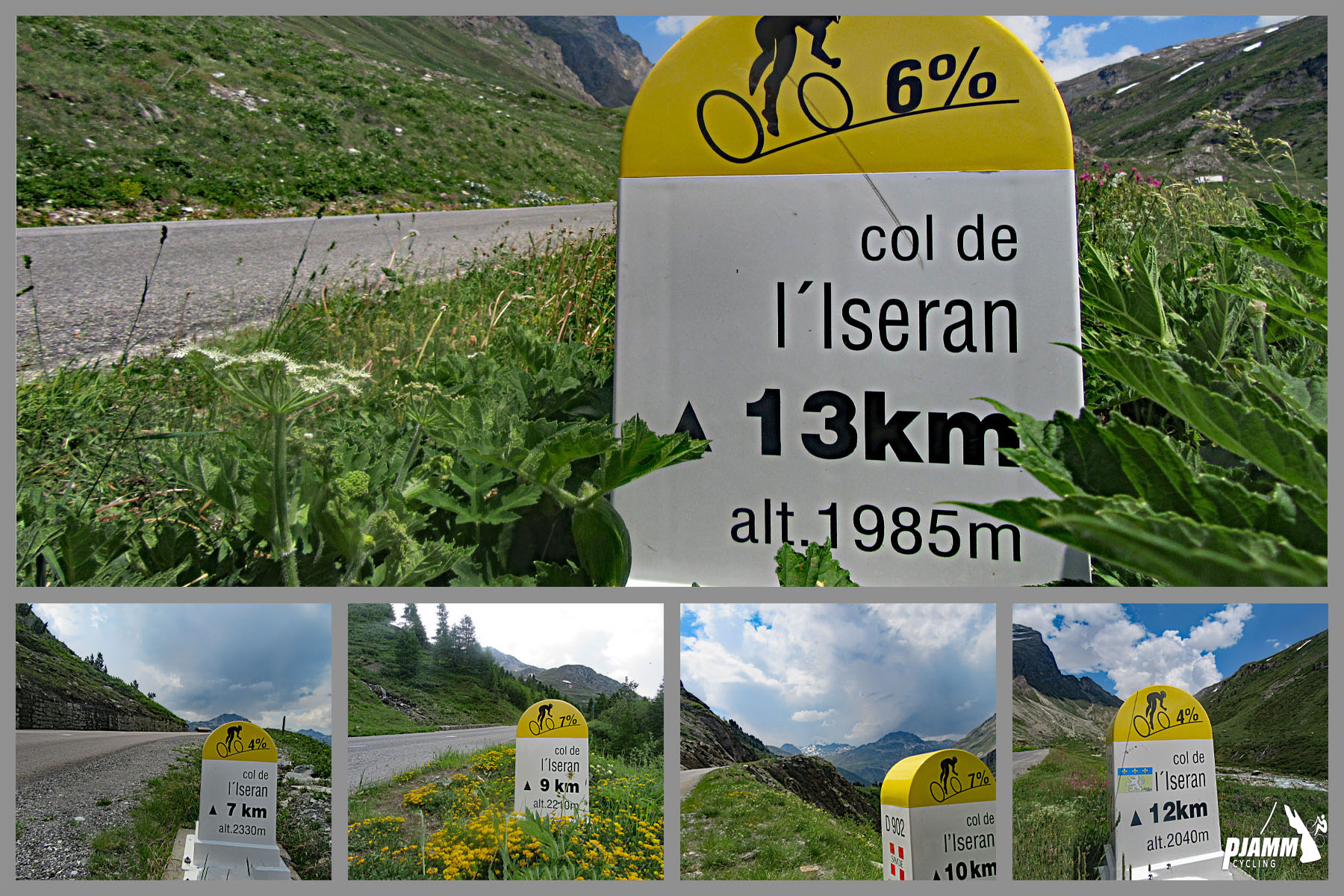
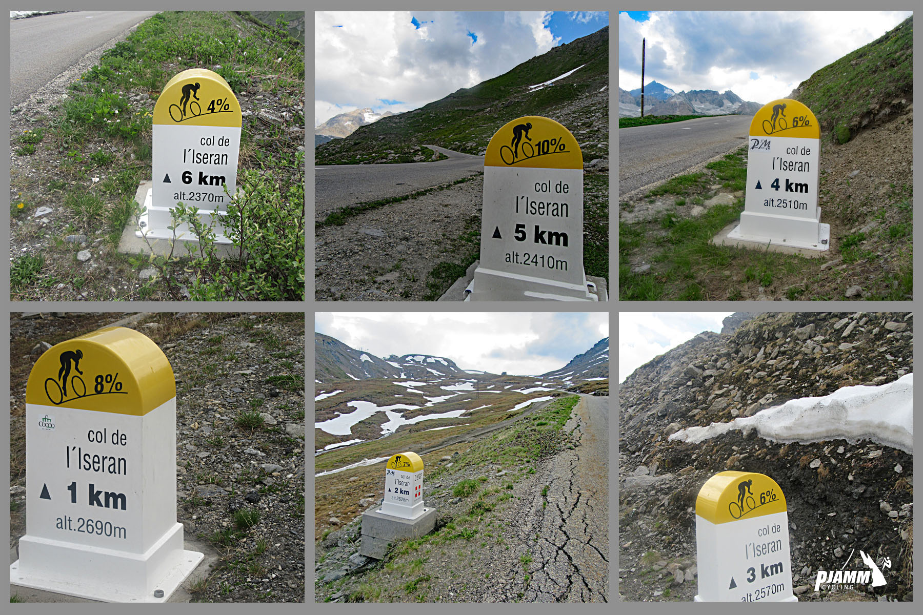
Cycling Col de L'Iseran: photo collage shows yellow and white km markers along route

There are kilometer markers at most km points along the climb. 

Cycling Col de L'Iseran: photo collage shows yellow and white km markers along route

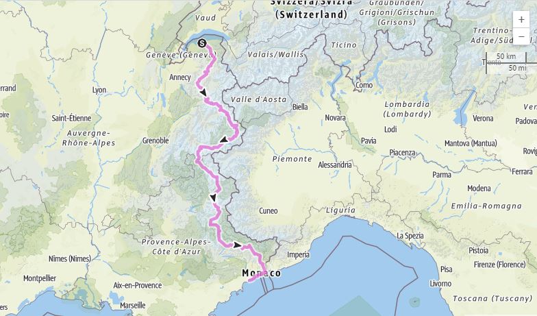
Col de L'Iseran is part of the Route des Grandes Alpes, a tourist itinerary that begins in Thonon-les-Bains and travels over many of the most spectacular passes in France and Europe, including Col de L'Iseran, Galibier, d’Izoard, and Bonette; alternate route includes Croix de Fer and Madeleine.

Cycling Cime Bonette from Jausiers, France - Route des Grands Alpes map

Route des Grandes Alpes.

THE TOP - COL DE L’ISERAN

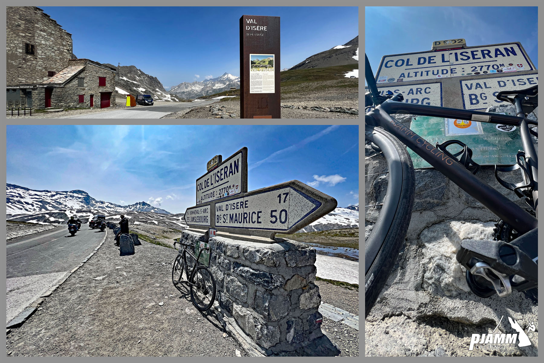
Cycling Col de L'Iseran: photo collage shows street signs for Col de L'Iseran; climb finish

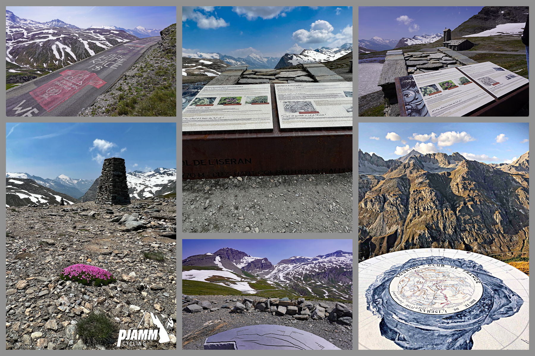
Cycling Col de L'Iseran: photo collage shows informational signs and plaques at climb finish

Col de L'Iseran is #30 in Hugh Merrick’s book The Great Motor Highways of the Alps, in which he writes that “the impression that emerges, rather like the stunning vistas of the Chalanson and Albaron glaciers as one nears the summit from the southern side, is of a feat of road building that was also in part a vanity project.”

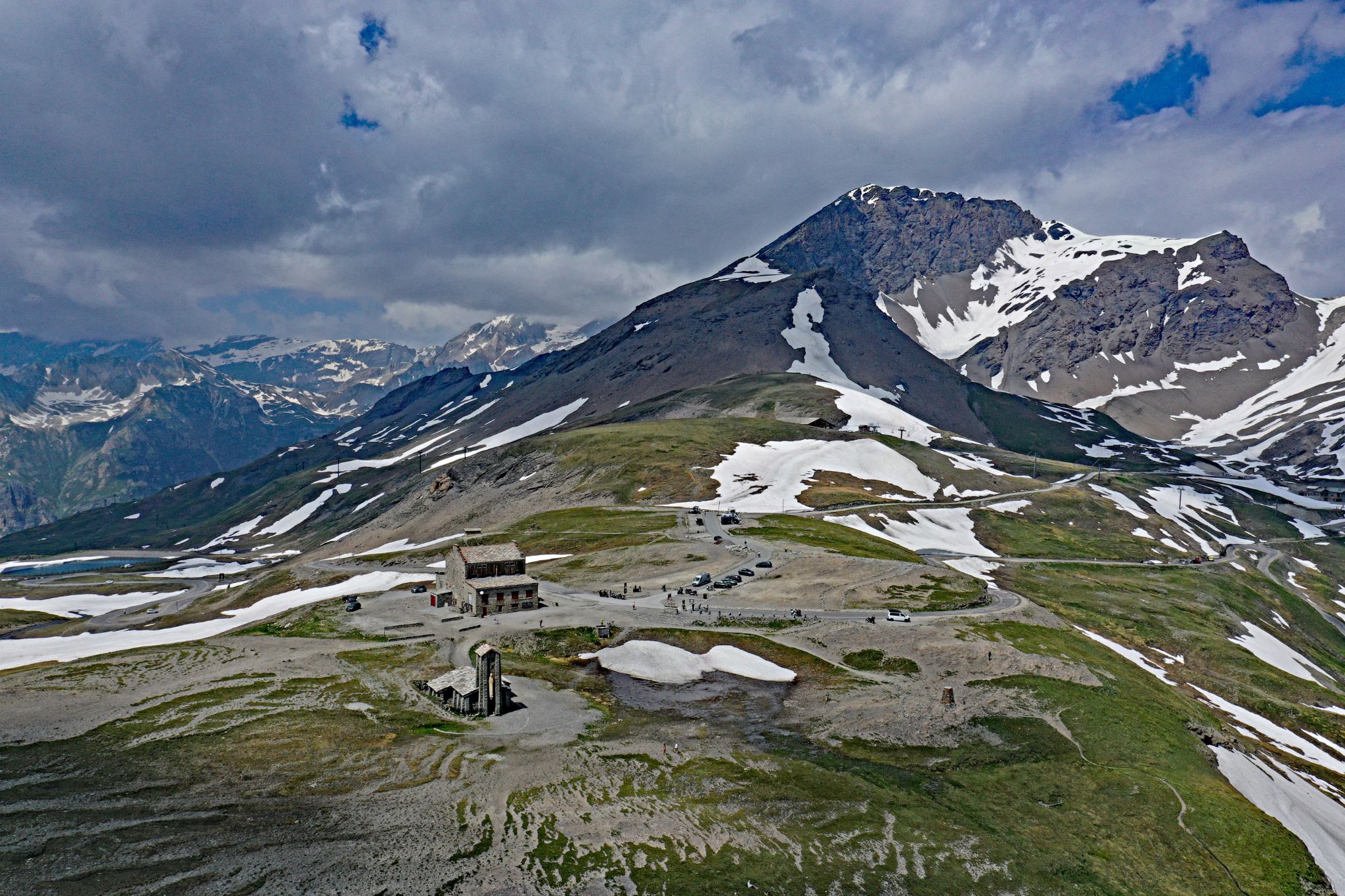
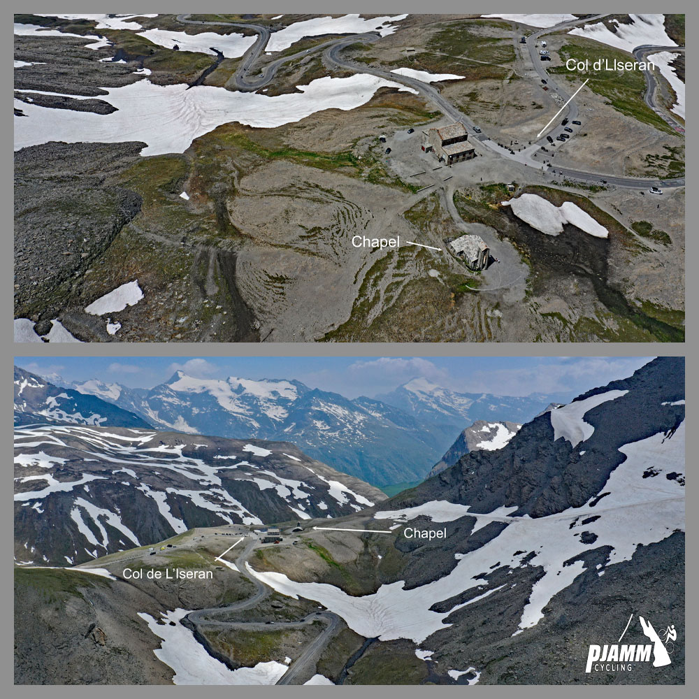
Cycling Col de L'Iseran: aerial drone view of the top of Col de L'Iseran; snow-dotted mountain peak

Aerial view of Col de L'Iseran

Approach from Bonneval-sur-Arc to right and from Val-d’Isere left.

You may wonder: Is Col de L'Iseran truly the highest paved pass in Europe?

The answer is yes.  While Pico de Veleta (Spain), is the higher “road” at 3,357 m/11,013’, it ends in a deadend so is not a pass.  Even though Cima de la Bonette (2,685 m/3,809’) is technically a pass, it is just a through-road to the peak and not the functional “pass.”  Thus, Col de L'Iseran, with its functional col/pass at 2,633 m/8,638’ can truly claim “highest paved pass in Europe.”

CHAPEL NOTRE-DAME DE TOUTE PRUDENCE

Cycling Col de L'Iseran: aerial drone view shows Chapel Notre-Dame de Toute Prudence nestled in peak of mountain, surrounded by patches of snow

Chapel Notre-Dame de Toute Prudence is located at the Col de L’Iseran.

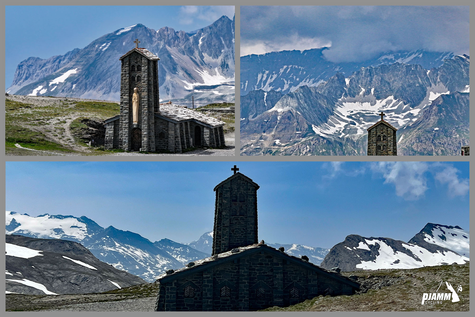
Cycling Col de L'Iseran: views of Chapel Notre-Dame de Toute Prudence

Construction of the chapel was completed in 1939 using local stone. The sculpture of the Virgin Mary was created by sculptor Edgar Delvaux.

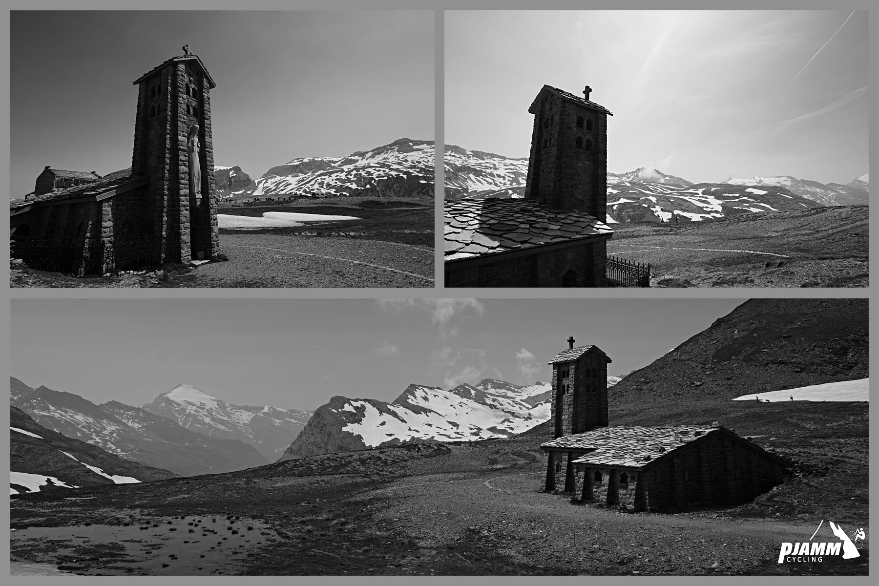
Cycling Col de L'Iseran: black and white views of Chapel Notre-Dame de Toute Prudence

Tour de France History

TOP 10 MOST FREQUENT CLIMBS OF THE TOUR DE FRANCE

AND 10 FAMOUS ONES AFTER THAT

Climb name

Mountain Range

Times Featured in Tour de France

Most recent

First included

Col du Tourmalet

Pyrenees

89

2023

1910

Col d'Aspin

Pyrenees

74

2023

1910

Col d'Aubisque

Pyrenees

73

2022

1910

Col de Peyresourde

Pyrenees

68

2021

1910

Col du Galibier

Alps

63

2022

1911

Col de Portet d'Aspet

Pyrenees

58

2021

1910

Col des Aravis

Alps

42

2023

1911

Col d'Izoard

Alps

36

2019

1922

Col de Vars

Alps

35

2019

1922

Col d'Allos

Alps

34

2015

1911

Alpe d'Huez

Alps

32

2022

1952

Col du Télégraphe

Alps

31

2022

1911

Col de la Madeleine

Alps

29

2020

1969

Col de la Croix de Fer

Alps

21

2022

1947

Mont Ventoux

Alps

18

1921

1951

Col du Soulor

Pyrenees

16

2019

1912

Col du Glandon

Alps

14

2015

1947

Puy de Dome

Massif Central

14

2023

1952

Luz Ardiden

Pyrenees

9

2021

1985

Col de l'Iseran

Alps

8

2019

1938

As of 2023 Col de L’Iseran has been featured eight times in the TdF.

Each time it has been featured, it has also been the highest point in that year’s TdF.

©  PJAMMCycing.com

© Climb name

Elevation (meters)

Times highest point of TdF (as of 2022)

Mountain Range

Times Featured in Tour de France

Most recent

First included

Cime de la Bonette

2,802m

4

Alps

4

2008

1962

Col de l'Iseran

2,770m

8

Alps

8

2019

1938

Col Agnel

2,744m

1

Alps

2

2011

2008

Col du Galibier

2,642m

50

Alps

63

2022

1911

Col du Granon

2,413m

0

Alps

2

2022

1986

Col de L’lseran has been the highest point in the TdF eight times.

Also see Top 10 Highest Points of the TdF.

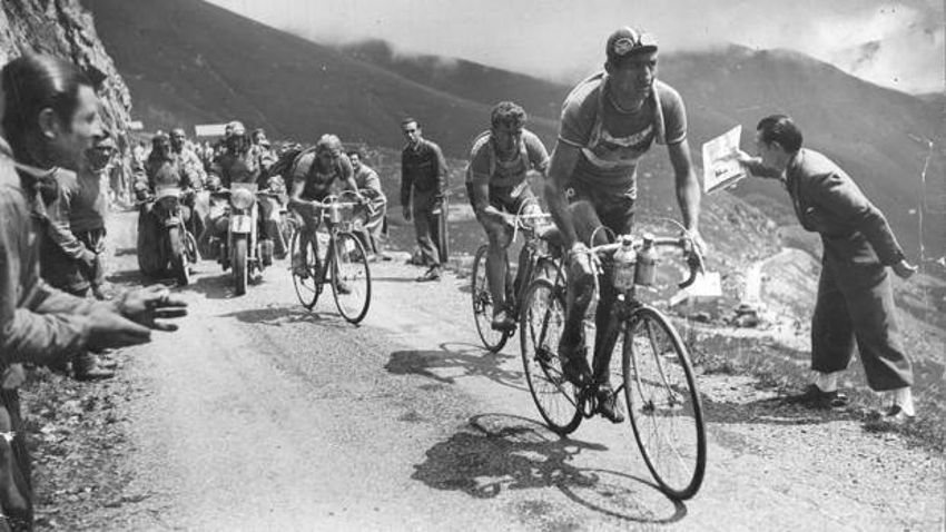
Col de L'Iseran has only been included in the Tour de France eight times in the 85 years between 1938 and 2023.  The Tour takes what is otherwise a somewhat eerie and desolate -- although quite scenic -- place, and turns it into a tourist attraction with a carnival atmosphere.  First included in the Tour in 1938, Gino Bartali exclaimed that he won the race on his descent of Col de Vars, but saved it on the descent off the L'Iseran.  

Gino Partali, Tour de France 1938

Gino Bartali, winner 1938 Tour de France

Bartali crossed L'Iseran in Stage 14

Down 00:01:05 at the beginning of the stage, after a heroic descent of L'Iseran he finished up 00:05:18.

Photo:  LearningHistory.com

Bartali (along with Federico Bahamontes) has more Grand Tour wins (9) than anyone in history and the TdF (1938, 1948), Giro (1936, 1937, 1946; mountain classification a record seven times, three more than anyone in history, Giro wasn’t held five years from 1941-1945), Milan-San Remo (4) and Giro di Lombardia (3).

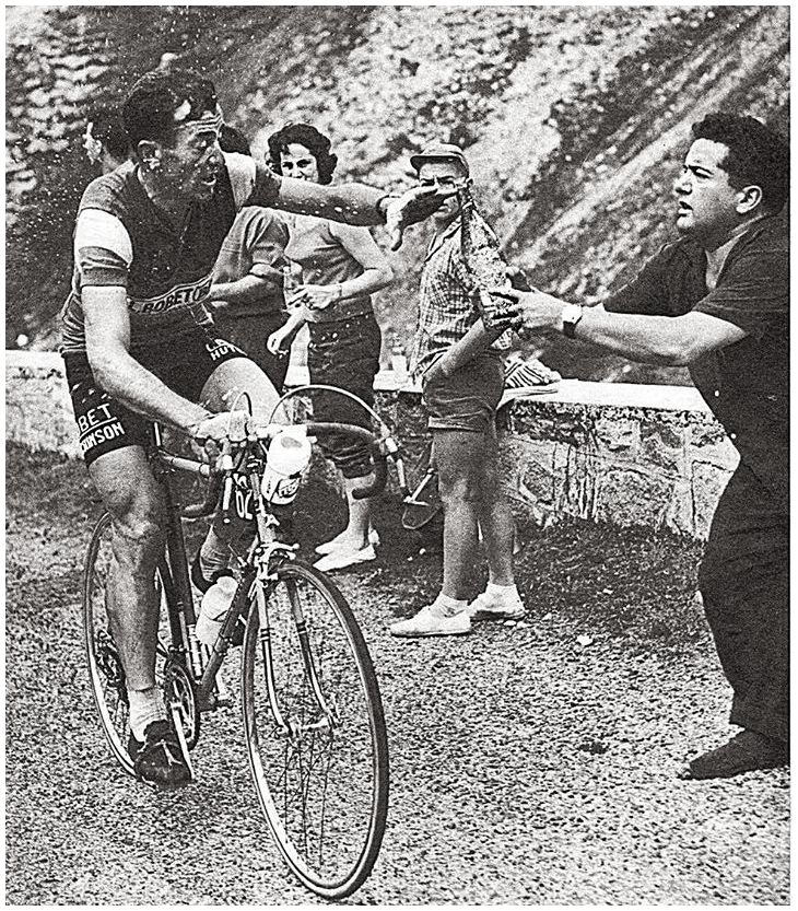
It was on Col de L'Iseran that legendary cyclist Louison Bobet’s career ended.  Bobet retired at the summit of L'Iseran on July 14, 1959, having been victorious in the TdF three years running from 1953-55. Bobet was the first rider to win the Tour de France in three consecutive years.

Louison Bobet, 1959 Tour de France

Louison Bobet on Col de L'Iseran 1959 Tour de France

Bobet retired on L'Iseran July 14, 1959 after three TdF victories.

Photo: Walter Vermeulen flicker

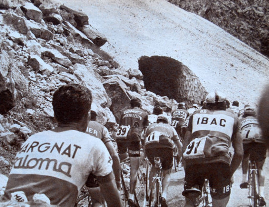
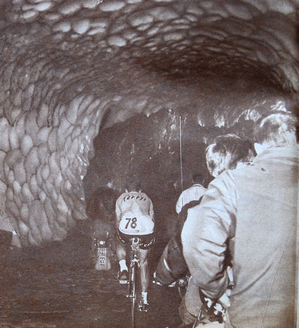
July 9, 1963 is notable more for the brutal conditions on the L'Iseran than for the race stage itself (won by undisputed King of the Mountains Fernando Manzaneque -- winner mountain classification TdF six times, Giro d’Italia once, and Vuelta de Espana twice).  Due to impassable snow pack at the top of Col de L'Iseran, the tour came within a whisker of a tedious and long reroute around Albertville and Bourg Saint Maurice of the 202 km stage from Grenoble to the scheduled finish in Val d'Isère.  However, the tour organizers, having more consideration for their business and schedule than the riders’ safety, maintained the original route which led the tour over the high pass along icy roads and a snow tunnel.

1963 Tour de France

Col de L'Iseran -- Stage 16, Tour de France July 9, 1963.

Photo:  innrng.com

Tour de France cyclists ride through tunnel in 1963

Near the summit of L'Iseran TdF 1963

Photo:  innrng.com

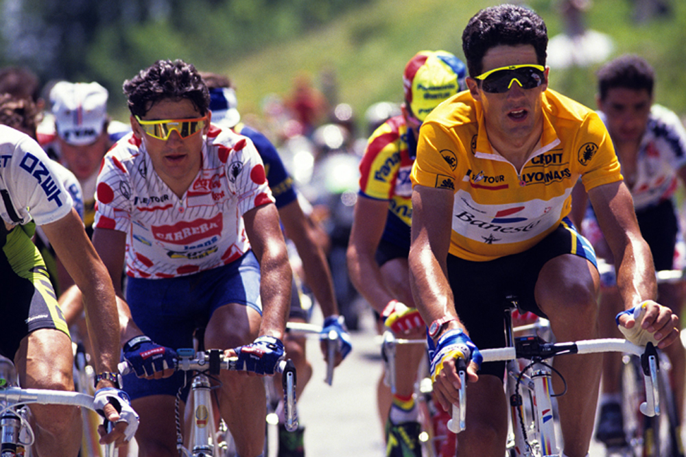
Likely the most famous of the eight crossings of the L'Iseran during the Tour de France involved the amazing solo 100 kilometer breakaway by Italy’s Claudio Chiapucci, a true Mountain King.  Chiapucci has legendary mountain classification credentials -- one of only four men to win the TdF and Giro mountain classification in the same year (putting him in the enviable company of Fausto Coppi, Charly Gaul and Lucien Van Impe), and tied with Gino Bartali with the most Giro mountain classification wins (7).  With 100 kilometers to go on July 18, 1992’s TdF Stage 13, Chiapucci did one of his signature (though sometimes ill-advised) breakaways.  However, on this day the peloton mistakenly ignored Chiapucci who burned over seven cols, including the highest of them all, L'Iseran, on his way to a 00:01:34 stage win.  Chiapuccu was second in that year’s Tour to Miguel Induran who won his second of an unbelievable five straight Tours de France.

Claudio Chiapucci (KOM jersey) and Miguel Indurain (leader’s jersey)

Claudio Chiapucci (KOM jersey) and Miguel Indurain (leader’s jersey).  Indurain is the 1991 & 1992 TdF

mountain classification winner.

Photo:  cyclingweekly.com